Fraud Blocker Skip to main content

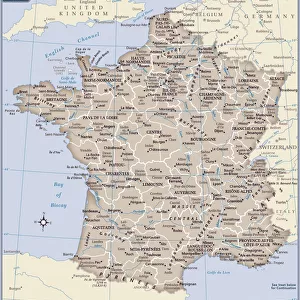
France Administrative Political Map

France Administrative Political Map
Sold 13
In Stock
We accept all major payment options so you can pay for the things you need in the way that is most convenient for you

Map Marketing Photo Prints and Wall Art

France Administrative Political Map

A detailed Administrative map of France showing the political administrative divisions of the country. Each Departement is coloured individually and numbered with the appropriate Numero de Departement and then grouped into the larger Regions. Within each Departement the constituent Cantons are also marked. Major cities and towns are shown and there are inserts showing Paris and its environs as well as Corsica and Franceaes dependent overseas territories. © Map Marketing Ltd

Media ID 19949231

Administrative Canton Counties

SECURE PAYMENTS
We accept all major payment options so you can pay for the things you need in the way that is most convenient for you

Made in UK
Safe Shipping, Easy Returns

FREE PERSONALISATION
We are proud to offer a range of customisation including Cropping, Captions, and Filters. Zoom Cropping can be adjusted in the basket

diamond
Made With High Grade Materials
thumb_up
Professional Quality Finish
package_2
Carefully Packed To Aid Safe Arrival

You May Also Like


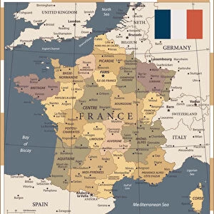
Map of France - VectorMap of France - Vector
Add to Basket
MAP OF FRANCE, c1900. With inset detail of Paris and surrounding areaMAP OF FRANCE, c1900. With inset detail of Paris and surrounding area
Add to Basket
France country mapFrance country map
Add to Basket
Map of FranceMap of France
Add to Basket
Europe Map with France, Portugal, Spain and NetherlandsEurope Map with France, Portugal, Spain and Netherlands
Add to Basket
Map / France / Belgium / NetheMap / France / Belgium / Nethe
Add to Basket
Map of France 1886Map of France 1886
Add to Basket
20 - France- Vintage Color Dark20 - France- Vintage Color Dark
Add to Basket
Reference Map of SpainReference Map of Spain
Add to Basket
Devon County Road MapDevon County Road Map
Add to Basket
British Isles Counties, Districts and Unitary Authorities MapBritish Isles Counties, Districts and Unitary Authorities Map
Add to Basket
France map 1875France map 1875
Add to Basket

Gallery Wall Inspiration

MAP OF FRANCE, c1900. With inset detail of Paris and surrounding area
A Map of the Lake District, LMS poster, 1923-1947
Poster for French railways to Morocco
Map of Cathay, China, from Catalan Atlas created for Charles V, King of France, attributed to Abraham and Jafuda Cresques Maiorca, circa 1375
France Administrative Political Map
Street Map 1878
Map / Paris 18C
North and South America map 1887
Matthew Pariss Map of Great Britain showing rivers & towns in the south of England & part of Wales, c. 1250 (1944)
Map of Paris in 1908 with geographic and demographical data
City map of Paris, lithograph, published in 1877
City map of Paris
Map of Paris 1900
Map of the world, 1720
CRESQUES, Jafuda (1350-1410); CRESQUES, Abraham
Dark matter map
Map / Europe / France / Paris
Le pave de Chailly 1865 (Oil on Canvas)
Water Lily Pond, Green Harmony, 1899 (Oil on Canvas)
Siege of La Rochelle (engraving)
Embarkation of Henry VIII, in 1520, to the Field of the Cloth of Gold (oil on canvas)
Americas first national map, 1784 (hand-coloured engraving)
France Alsace-Lorraine map 1887
Lines of Rail at Clapham Junction, (c1878). Creator: Unknown
Plan of the Marches near Isandhlwana between Jan. 12th and 22nd, 1879, c1880
Paris, France - City Map
Map of industrial Britain in 1881, 1906


© Copyright Media Storehouse, All Rights Reserved 2003 - 2024
Facebook     Pinterest     100% Payment Secure     Reviews IO