
Disputed Territory Collection (page 2)
"Territorial Disputes: A Historical Journey through Contested Lands" Embarking on a historical voyage


All Professionally Made to Order for Quick Shipping
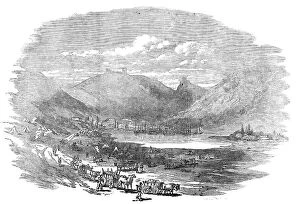
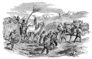
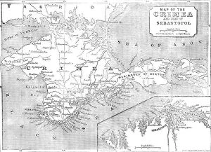
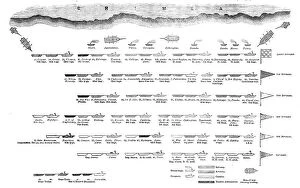
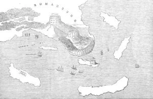
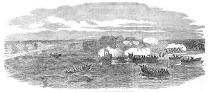
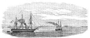
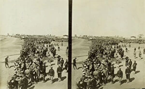
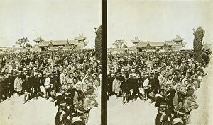
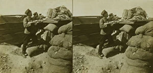
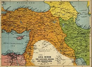
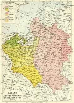
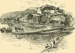
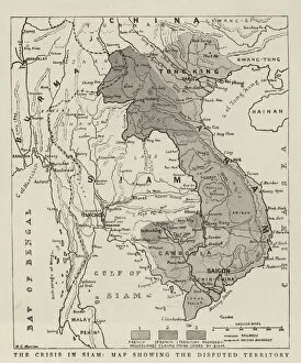
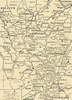
"Territorial Disputes: A Historical Journey through Contested Lands" Embarking on a historical voyage, we delve into the depths of disputed territories that have shaped the world as we know it. From Asia Minor to Mesopotamia and the Caucasus Region, these lands have witnessed countless conflicts and power struggles throughout history. In the midst of the First World War around 1915, boundaries blurred and tensions soared in regions like Asia Minor, where nations vied for control over strategic positions. Meanwhile, Poland faced its own turmoil during the partitions of 1772, 1793, and 1795; an era marked by territorial divisions that left lasting scars. Traveling back to Namur in 1890, an unknown creator captures a snapshot of uncertainty. The Burmese Frontier Difficulty unfolds before our eyes with engravings showcasing diverse native tribes caught amidst territorial disputes. Similarly, Mashonaland's occupation by British South African Cos Forces reveals another chapter in contested lands. Venturing across continents brings us to Venezuela's boundary crisis depicted through lithography sketches. As we cross North America's vast expanse on a map from Texas to Oregon alongside United States' claims, geopolitical complexities become evident. The Rock of Gibraltar emerges as Great Britain's stronghold at Spain's tip during the c1930s – a testament to enduring territorial disputes. France and Germany find themselves entangled along their border during both World Wars; Alsace witnesses French troops occupying villages while Germany takes land from Russia amid conflict. These glimpses into history remind us that borders are not merely lines on maps but bear witness to human strife for power and control over land. Territorial disputes continue shaping our world today as they did decades ago – reminding us of the intricate tapestry woven by human ambition and struggle for dominance.