
Continental Drift Collection
"Continental Drift: Unveiling Earth's Ancient Puzzle" The phenomenon has captivated scientists and geologists for centuries


All Professionally Made to Order for Quick Shipping
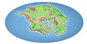
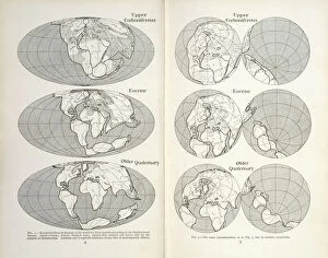
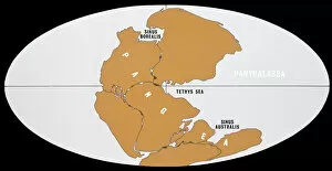
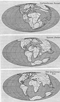
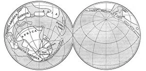
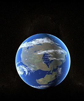
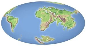
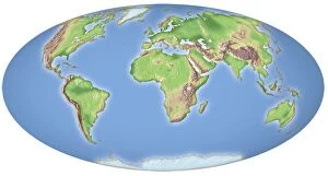
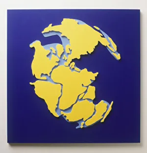
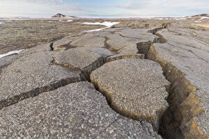
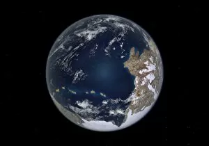
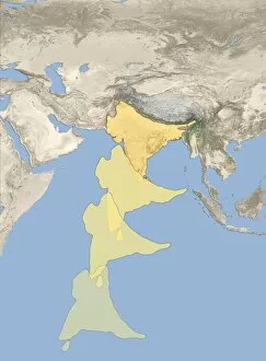
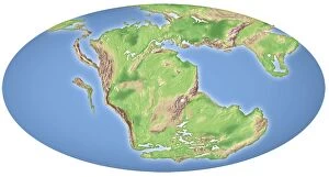
"Continental Drift: Unveiling Earth's Ancient Puzzle" The phenomenon has captivated scientists and geologists for centuries. After 250 million years, the Earth's landmasses have undergone a remarkable transformation, as depicted in awe-inspiring continental drift maps. These visual representations reveal the gradual movement of continents over vast periods, showcasing how our planet evolved. Around 100 million years ago, the forces of nature set in motion a grand spectacle - continental drift. This groundbreaking concept revolutionized our understanding of Earth's history and geological processes. Through meticulous research and analysis, scientists like Alfred Lothar Wegener, a German geophysicist and meteorologist, unraveled this enigma. In 1922, Wegener introduced his Theory to the world—a revolutionary idea that sparked both curiosity and skepticism among scholars. His diagrams depicting the Earth during the Carboniferous period provided compelling evidence supporting his theory. One intriguing aspect linked to continental drift is Ernst Haeckel's Map Lemuria Human Origins. This map proposed an ancient continent called Lemuria as a possible origin for humanity—an idea intertwined with the concept of drifting land masses shaping human civilization. As we delve into these captivating concepts surrounding continental drift, it becomes evident that our planet is far from static; it is alive with constant change beneath its surface. The intricate dance between tectonic plates continues to shape landscapes today—mountains rise while others erode away. Through ongoing scientific advancements and technological breakthroughs, researchers strive to unravel more mysteries hidden within this mesmerizing phenomenon known as continental drift. As new discoveries emerge through satellite imagery or advanced mapping techniques like Picture No. 11992408 reveals previously unknown details about our ever-evolving planet. Continental drift serves as a reminder that even seemingly immovable features can transform dramatically over time—reminding us all that change is inevitable on this dynamic blue orb we call home.