

Framed Prints From Universal Images Group
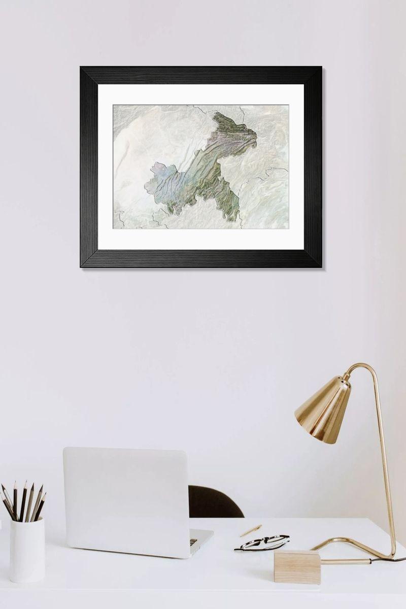
Framed Print of Region of Chongqing, China, Relief Map
Relief map of the region of Chongqing, China. This image was compiled from data acquired by LANDSAT 5 and 7 satellites combined with elevation data. Universal Images Group (UIG) manages distribution for many leading specialist agencies worldwide. © Planet Observer/UIG
Artwork supplied by Universal Images Group
Your chosen combination is quickly and professionally made to order, our shipping page has more details
If you are not entirely happy with your items, simply return them to us within 30 days for a replacement or full refund. Please read our full returns policy.
Media ID 9619263
Editors Comments
Discover the intricacies of Chongqing, China's geography with our Framed Prints. Featuring an awe-inspiring relief map of the region, this print is meticulously compiled from satellite data acquired by LANDSAT 5 & 7. Each detail, from the winding rivers to the towering mountain ranges, is rendered in clarity. Elevation data adds an extra dimension, making this more than just a pretty picture - it's a window into the topography of this fascinating area. Bring the beauty of Chongqing into your home or office with our Framed Prints, a perfect blend of art and geography.
This artwork is also available as...
Photo Prints - Discover the topography of Chongqing, China with our Photographic Print of the region. This relief map, sourced from Universal Images Group (UIG), is meticulously created using data from LANDSAT 5 & 7 satellites, merged with elevation data. Bring the intricacies of Chongqing's terrain into your home or office, and elevate your space with this accurate representation of the region. Order your Media Storehouse Photographic Print today and indulge in the beauty of geography.
Greetings Cards - Experience the beauty of Chongqing, China with our Greetings Cards. This design features a detailed relief map of the region, derived from LANDSAT 5 & 7 satellite data and elevation information. Perfect for expressing your thoughts and emotions, these cards are a thoughtful way to connect with loved ones. Let the intricate topography of Chongqing transport your recipient to another world. Order yours today and explore the wonders of our planet together.
Photo Mugs - Bring the beauty of Chongqing, China, right to your desk with our Photo Mug. Featuring a relief map of the region, compiled from data acquired by LANDSAT 5 & 7 satellites and combined with elevation data from Universal Images Group, this mug is more than just a beverage holder. Each sip will transport you to the heart of Chongqing, immersing you in its topography and natural wonders. Order yours today and start your day with a visual journey to this fascinating part of the world.
Poster Prints - Discover the intricacies of Chongqing, China's terrain with our Relief Map Poster Print. Meticulously created using data from LANDSAT 5 & 7 satellites, this poster provides an accurate and visually representation of the region's topography. Explore the undulating hills, winding rivers, and sprawling urban areas of Chongqing like never before. Bring the depth and detail of this geographical wonder into your home or office with our poster print. A perfect addition for educators, world travelers, or anyone with a passion for geography.
Metal Prints - Discover the topography of Chongqing, China with our Metal Print of this Relief Map. Meticulously crafted from satellite data acquired by LANDSAT 5 & 7, this representation of the Chongqing region combines both satellite imagery and elevation data from Universal Images Group (UIG). Bring the intricacies of this dynamic landscape into your home or office with our Metal Print, which shows colors and exceptional detail, ensuring a display that is sure to impress.
Canvas Prints - Discover the topography of Chongqing, China with our Canvas Print of the region. Meticulously crafted from high-resolution satellite imagery obtained from Universal Images Group (UIG), this relief map combines LANDSAT 5 & 7 data with precise elevation details. Bring the intricacies of this landscape into your home or office with our premium canvas prints, ensuring a long-lasting display of this natural wonder.
Cushions - Cushions featuring a Relief Map of the Region of Chongqing, China. Perfect for geography enthusiasts and world travelers alike, these decorative Cushions add a touch of global style to any room while showcasing topographic details from satellite imagery.
Mouse Mats - Mouse Mats featuring a detailed Relief Map of the Region of Chongqing, China. This image was compiled from LANDSAT satellite data and elevation information, providing an accurate representation of this Chinese region's geography. Perfect for office decor and ergonomic comfort, our Mouse Mats promote productivity and style.
Tote Bags - Tote Bags featuring a Relief Map of the Region of Chongqing, China. Made from materials, these eco-friendly bags showcase a detailed topographic map compiled from LANDSAT satellite data and elevation information, perfect for travel enthusiasts and geography lovers alike.
Image Download - Download a high-resolution relief map of the Chongqing region in China, licensed for web use, television, editorial content, brochures or leaflets, merchandising and advertising. This image is a composite created from LANDSAT 5 and 7 satellite data combined with elevation information. Available under non-exclusive rights managed license.
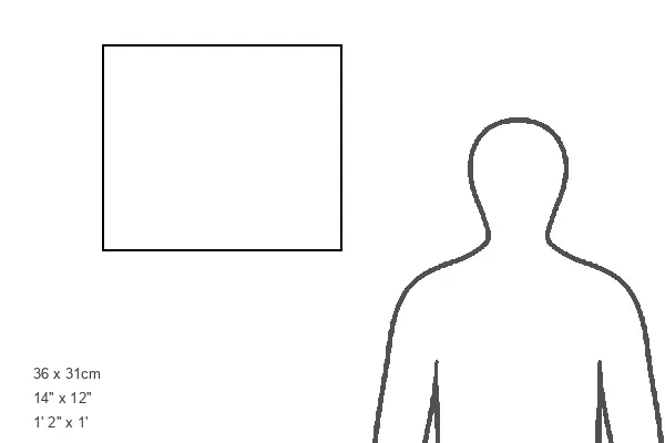
Modern Frame 14"x12" (36x31cm)
Ready to Hang Contemporary Framed Prints adds style, protection, and a polished touch to your space - effortlessly.
Your artwork will be printed as shown in the preview. To adjust please select Edit Printed Image under the Buy button
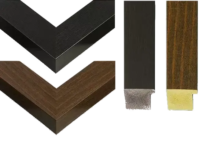
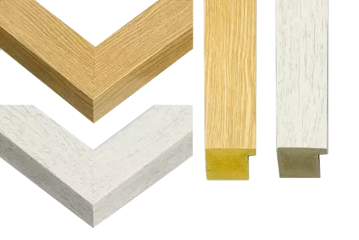
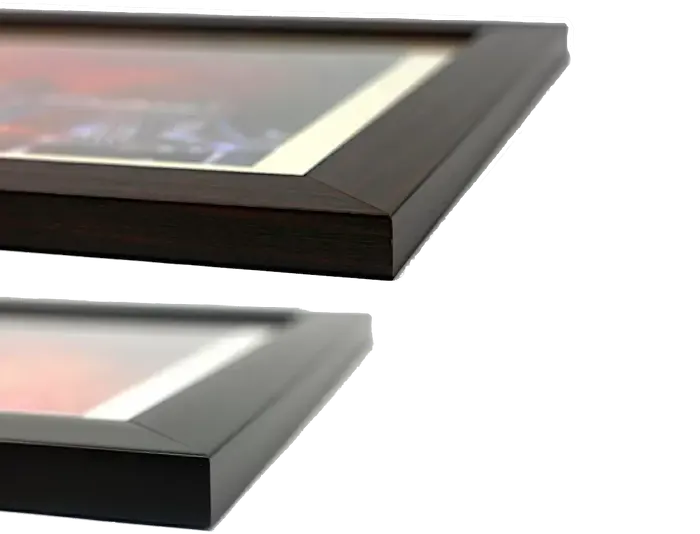
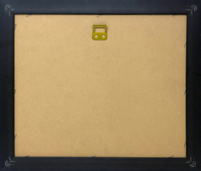
Wood effect frame, card mounted, 10x8 fade resistant photo print. Overall outside dimensions 14x12 inches (36x31cm). Environmentally and ozone friendly, 40mm wide x 15mm Polycore® moulding has the look of real wood, is durable and light and easy to hang. Biodegradable and made with non-chlorinated gases (no toxic fumes) it is efficient; producing 100 tons of polystyrene can save 300 tons of trees! Prints are glazed with lightweight, shatterproof, optical clarity acrylic (providing the same general protection from the environment as glass). The back is stapled hardboard with a sawtooth hanger attached. Note: measurements provided are estimated outer dimensions, which include both the image and the frame. While we aim to keep sizing consistent, exact dimensions may vary slightly due to differences in print size or production requirements, which may result in a variation in the overall size (up to approximately 2.5cm (1"))
These are individually made so all sizes are approximate
Estimated Image Size (if not cropped) is 24.4cm x 17.3cm (9.6" x 6.8")
Estimated Product Size is 36cm x 31cm (14.2" x 12.2")
Features In These Collections
> Universal Images Group (UIG) > Universal Images Group > Satellite and Aerial > Planet Observer 4