

Framed Prints From Science Photo Library
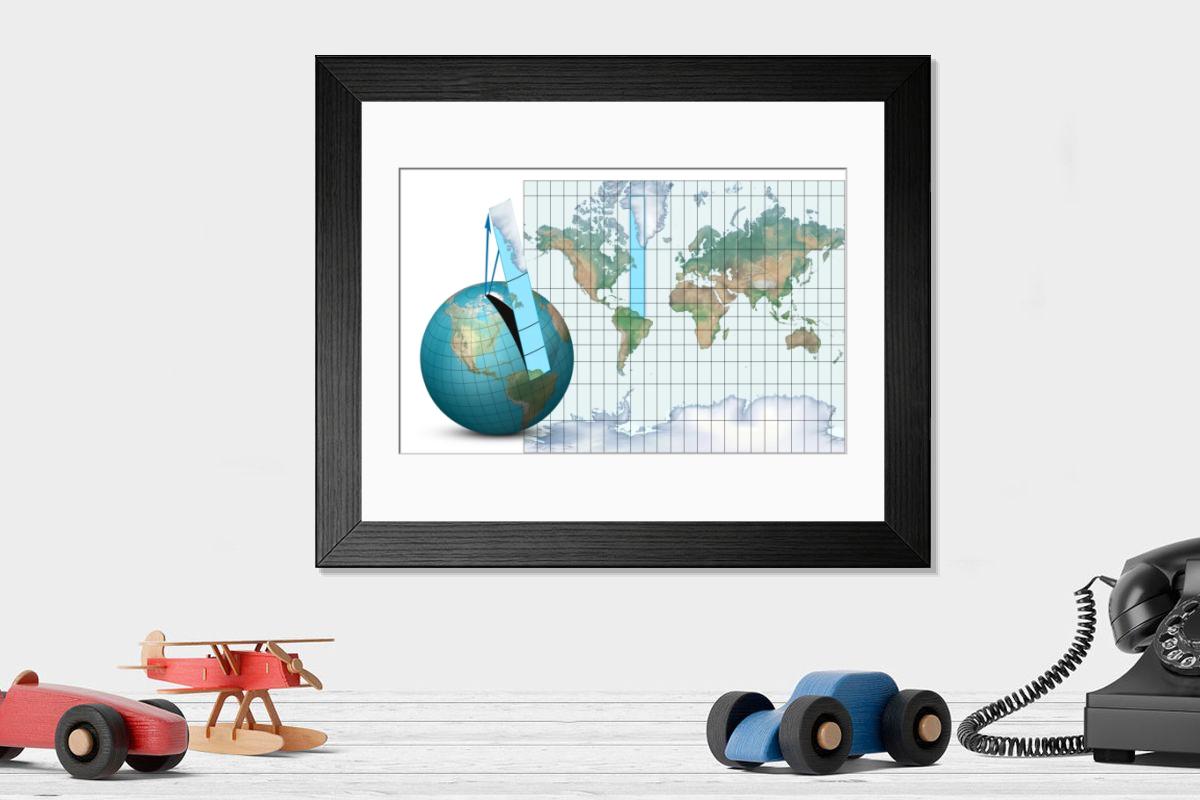
Framed Print of Mercator map projection, diagram
Mercator map projection. Diagram of an Earth globe (left) and a Mercator map projection (right) with the blue strip (from South America to Greenland) showing how the spherical surface is projected onto a cylindrical map. The arrows (blue) show how the polar regions are narrower on the globe, and wider on the map. This is one of the disadvantages of this projection, which distorts the polar regions compared to the equatorial regions. Greenland and Antarctica appear much larger on the map than on the globe. This standard projection is named for the Flemish geographer and cartographer Gerardus Mercator who used it in 1569. Science Photo Library features Science and Medical images including photos and illustrations. © This illustration is protected by laws and international treaties, as well as other intellectual property la
Artwork supplied by Science Photo Library (CLU)
Your chosen combination is quickly and professionally made to order, our shipping page has more details
If you are not entirely happy with your items, simply return them to us within 30 days for a replacement or full refund. Please read our full returns policy.
Media ID 6348329
Editors Comments
Discover the allure of cartography with our Framed Prints featuring the iconic Mercator Map Projection by Claus Lunau from Science Photo Library. This print shows a side-by-side comparison of a beautifully rendered Earth globe and the renowned Mercator Map Projection. The intricate details of the globe and the distorted yet iconic representation of the map projection come alive under the glass, making this an essential addition to any home or office space. Ignite your curiosity and transport yourself on a journey around the world with our Framed Prints.
This artwork is also available as...
Photo Prints - Discover the world of geography with Media Storehouse's range of Photographic Prints. This image, "Mercator Map Projection, Diagram" by Claus Lunau from Science Photo Library, offers a mesmerizing comparison between a spherical Earth globe and the iconic Mercator map projection. With intricate detail and vivid colors, this print is a must-have for cartography enthusiasts, educators, or anyone seeking to expand their knowledge of the world. Explore the wonders of geography and add a touch of exploration to your home or office space with Media Storehouse's photographic prints.
Greetings Cards - Discover a blend of science and art with our Mercator Map Projection Greetings Cards. Featuring an iconic diagram by Claus Lunau from Science Photo Library, these cards showcase the classic representation of the world as depicted in the Mercator Map Projection. Ideal for those with a passion for geography, cartography, or just for someone who appreciates the beauty of scientific illustrations. Send a thoughtful message with a touch of intellectual charm. Each card comes with a white envelope and is blank inside for your personal message. Order yours today and explore the world in a whole new way.
Photo Mugs - Add a touch of history and geography to your daily routine with our Photo Mugs. Featuring an intriguing image of the Mercator map projection, this mug is not just a vessel for your favorite beverage, but a conversation starter. The classic representation of the world by Claus Lunau from Science Photo Library, with its distinctive blue strip and meticulously detailed continents, is sure to impress. Embrace the beauty of cartography and explore new horizons, one sip at a time.
Poster Prints - Discover the world in a new light with our Mercator Map Projection Poster Prints. This design, featuring the Mercator map projection by Claus Lunau from Science Photo Library, shows an intriguing comparison between a traditional globe (left) and the iconic Mercator map projection (right). The blue strip illustrating the connection between South America and Greenland adds an engaging touch to this educational and aesthetically pleasing piece. Ideal for classrooms, offices, or home decor, let the fascination of geography ignite your space.
Metal Prints - Discover a new perspective with Media Storehouse's Metal Prints featuring the iconic Mercator Map Projection. This design, based on the diagram by Claus Lunau from Science Photo Library, shows the intricacies of the Mercator projection with unparalleled clarity and detail. Each Metal Print is expertly crafted using materials and state-of-the-art printing techniques to bring out the colors and textures of the map. Hang it on your wall as a conversation starter, a decorative piece, or a tribute to the wonders of cartography. Explore the world in a whole new way with Media Storehouse's Mercator Map Projection Metal Print.
Canvas Prints - Bring the wonders of cartography into your home or office with our Canvas Prints. This design features the iconic Mercator map projection, a classic representation of the world that has captivated generations. Created by Claus Lunau from Science Photo Library, this print shows the intricate details of the Mercator map, with the blue strip connecting South America and Greenland. Our canvas prints are sure to be a conversation starter and an addition to any space.
Cushions - stylish Cushions featuring the Mercator map projection, a classic navigation diagram by Claus Lunau. Perfect for adding a touch of geography and sophistication to any room, these Cushions are ideal for history buffs and travelers alike, making them a great addition to any living space or office.
Mouse Mats - Explore the world in a new way with our range of Mouse Mats. Inspired by the Mercator map projection, these mats bring a touch of geography and adventure to your workspace. Perfect for anyone who loves to travel or learn about different cultures, they're not only functional but also visually striking.
Tote Bags - Elevate your everyday with our Tote Bags featuring the Mercator map projection, a mathematical diagram by Claus Lunau from Science Photo Library. Perfect for travelers and geography enthusiasts, these stylish Tote Bags combine functionality with educational value, making them ideal for work or school while promoting global awareness and cartography appreciation.
Modern Frame 14"x12" (36x31cm)
Ready to Hang Contemporary Framed Prints adds style, protection, and a polished touch to your space - effortlessly.
Your artwork will be printed as shown in the preview. To adjust please select Edit Printed Image under the Buy button
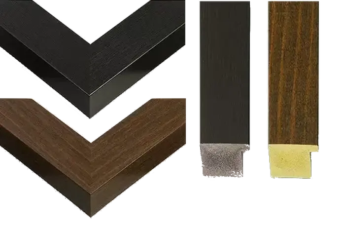
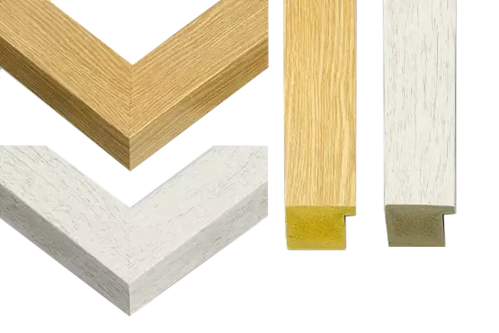
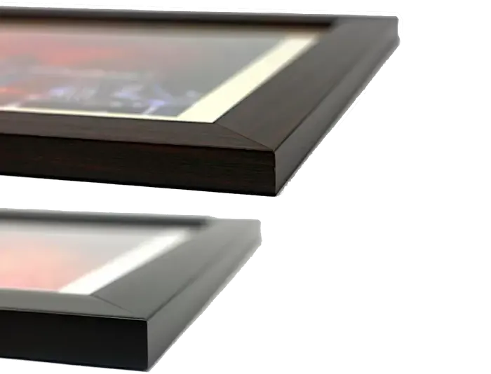
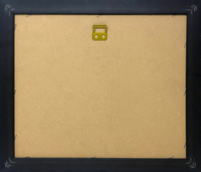
Wood effect frame, card mounted, 10x8 fade resistant photo print. Overall outside dimensions 14x12 inches (36x31cm). Environmentally and ozone friendly, 40mm wide x 15mm Polycore® moulding has the look of real wood, is durable and light and easy to hang. Biodegradable and made with non-chlorinated gases (no toxic fumes) it is efficient; producing 100 tons of polystyrene can save 300 tons of trees! Prints are glazed with lightweight, shatterproof, optical clarity acrylic (providing the same general protection from the environment as glass). The back is stapled hardboard with a sawtooth hanger attached. Note: measurements provided are estimated outer dimensions, which include both the image and the frame. While we aim to keep sizing consistent, exact dimensions may vary slightly due to differences in print size or production requirements, which may result in a variation in the overall size (up to approximately 2.5cm (1"))
These are individually made so all sizes are approximate
Estimated Image Size (if not cropped) is 24.4cm x 15.6cm (9.6" x 6.1")
Estimated Product Size is 36cm x 31cm (14.2" x 12.2")
Features In These Collections
> Arts > Artists > M > Gerardus Mercator