Tunisia Shaded Relief Map Print

Framed Print : Tunisia Shaded Relief Map Print
product preview 0
product preview 1
product preview 2
product preview 3
Size Guide
Close

Viewer Controls

  • Rotate: Left-click + drag
  • Pan: Right-click + drag
  • Zoom: Scroll wheel

Open 3D Preview


Framed Prints
Prints
Jigsaw Puzzles
Poster Prints
Canvas Prints
Fine Art Prints
Mounted Prints
Metal Prints
Cards
Home Decor

Framed Prints From imageBROKER


Framed Print of Tunisia, shaded relief map

Tunisia, shaded relief map. Explore the World Through imageBROKER Prints. © imageBROKER/Michael Schmeling

Artwork Licensed From imageBROKER (imageBROKER.com/1316232)

Your chosen combination is quickly and professionally made to order, our shipping page has more details

If you are not entirely happy with your items, simply return them to us within 30 days for a replacement or full refund. Please read our full returns policy.

Media ID 50500532


Fast Delivery
Great Value
100% Payment Secure
30 Days Return

Modern Frame 14"x12" (36x31cm)

Ready to Hang Contemporary Framed Prints adds style, protection, and a polished touch to your space - effortlessly.

Your artwork will be printed as shown in the preview. To adjust please select Edit Printed Image under the Buy button

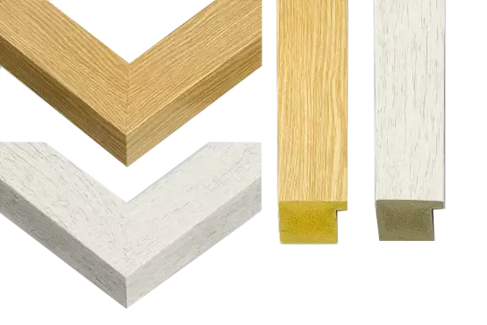
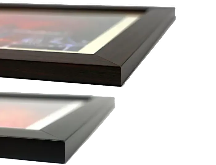
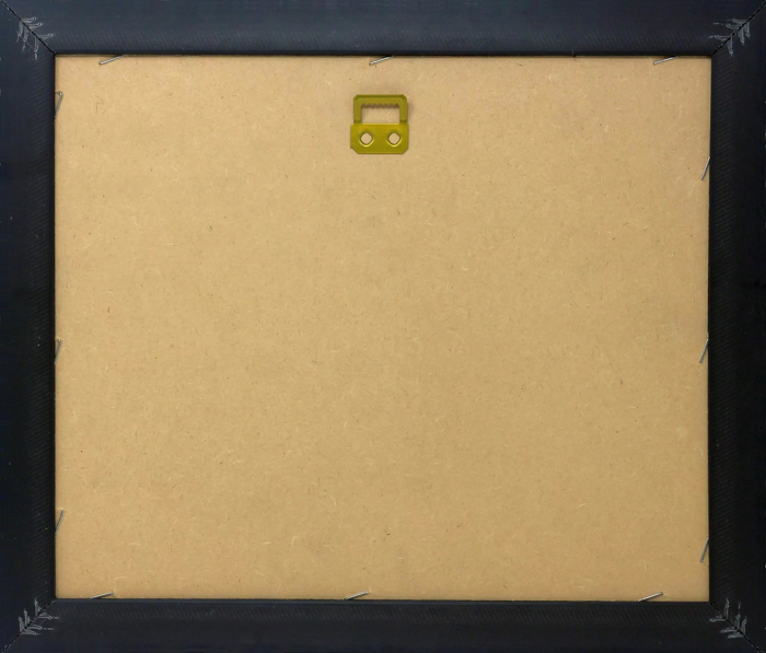
Wood effect frame, card mounted, 10x8 fade resistant photo print. Overall outside dimensions 14x12 inches (36x31cm). Environmentally and ozone friendly, 40mm wide x 15mm Polycore® moulding has the look of real wood, is durable and light and easy to hang. Biodegradable and made with non-chlorinated gases (no toxic fumes) it is efficient; producing 100 tons of polystyrene can save 300 tons of trees! Prints are glazed with lightweight, shatterproof, optical clarity acrylic (providing the same general protection from the environment as glass). The back is stapled hardboard with a sawtooth hanger attached. Note: measurements provided are estimated outer dimensions, which include both the image and the frame. While we aim to keep sizing consistent, exact dimensions may vary slightly due to differences in print size or production requirements, which may result in a variation in the overall size (up to approximately 2.5cm (1"))

These are individually made so all sizes are approximate

Estimated Image Size (if not cropped) is 13.8cm x 24.4cm (5.4" x 9.6")

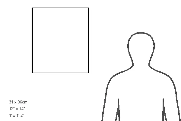
Estimated Product Size is 31cm x 36cm (12.2" x 14.2")


Features In These Collections

> Africa > Tunisia > Maps

Gallery Wall Inspiration

Marruecos, Argelia, Túnez, oeste de Libia, Sáhara Occidental, Mauritania, Senegal, Malí, Níger.
Carta/África del Norte siglo XIX
Mapa político del país de Túnez con ilustración de bandera.
Mapa del país de Túnez.
Italia antigua, c. 450 a.C., aguafuerte de acero, publicado en 1861.
Mapa de Túnez - Mapa de Túnez - Mapa de Túnez - Mapa de Túnez Copyright: xZoonar
Mapa antiguo de Argelia y Túnez.
Túnez Gabes Sello Vintage Mapa del Mundo
Mapa de Cefala, una ciudad romana-bereber en la provincia de África Proconsolare. Fechado siglo XVII.
Túnez, mapa de relieve sombreado.
Mapa de Túnez - Mapa de Túnez - Mapa de Túnez - Mapa de Túnez Copyright: xZoonar
El mapa de Argelia y Túnez con nombres de sus ciudades en él.
Mapa de Túnez, ilustración antigua grabada.
Mapa de Túnez y alrededores, Túnez, grabado en madera, publicado 1897.
Mapa de Argelia, Marruecos, Túnez, 1900.
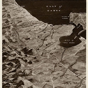
Línea de Mareth, Túnez, por G. H. Davis
Asiria y Imperio Persa c. 500 a.C., aguafuerte, publicado en 1661.
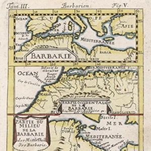
Carta/ NW de África 1719
Mapa que muestra el viaje de Annone, un navegante cartaginés que exploró África Occidental alrededor del 425 a. C. Su relato de viaje en lengua griega se conoce como la Vía de Annone.
Cartago, colina de Byrsa, Túnez.
Ilustración grabada antigua de la antigua Utica, Túnez (ciudad fenicia y cartaginesa antigua ubicada cerca de la desembocadura del río Medjerda en el Mediterráneo, entre Cartago al sur y Hipona Regia o Bizerta).
Argelia y Túnez en 1887.
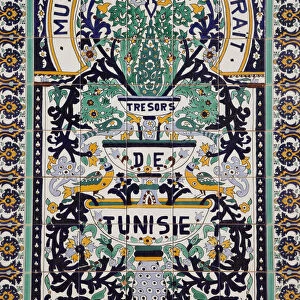
Túnez, La zona del Jerida, Tozeur y el Museo de Dar Charaít con sus trabajos en azulejos.
Túnez, zona de Ksour, edificio del ksar Ouled Soltán con ruinas de almacenamiento antiguo para granos.
Túnezia, Cabo Bon, Hammamet, Avenida de la República desde una perspectiva elevada
Medina de los Mares y Sousse en Túnez


© Copyright Media Storehouse, All Rights Reserved 2003 - 2026
We accept all major payment options so you can pay for the things you need in the way that is most convenient for you
Reviews IO     Facebook     Pinterest