Home > Arts > Landscape paintings > Landscape art > Landscape paintings
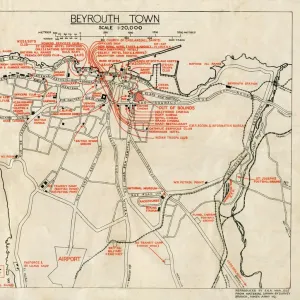
Historic city map of Beirut, Lebanon, wood engraving, published 1897

![]()
Wall Art and Photo Gifts from Fine Art Storehouse
Historic city map of Beirut, Lebanon, wood engraving, published 1897
Historic city map of Beirut - capital and largest city of Lebanon. Wood engraving, published in 1897
Unleash your creativity and transform your space into a visual masterpiece!
Media ID 14756374
© This content is subject to copyright
City Map Lebanon Topographic Map Topography Beirut
FEATURES IN THESE COLLECTIONS
> Africa
> Related Images
> Arts
> Landscape paintings
> Landscape art
> Landscape paintings
> Fine Art Storehouse
> Map
> Historical Maps
> Maps and Charts
> Early Maps
EDITORS COMMENTS
This print takes us back in time to the vibrant city of Beirut, Lebanon, as it stood in 1897. The historic city map, beautifully rendered through wood engraving, showcases the capital and largest city of Lebanon with intricate details. As we gaze upon this snapshot from the past, we are transported to a bygone era where bustling streets and architectural wonders dominated the landscape. From Ras Beirut to the shores of the Mediterranean Sea, every corner of this magnificent city is meticulously captured on this topographic map. The rich history embedded within these lines tells tales of a thriving metropolis that has witnessed countless civilizations come and go. It serves as a testament to Beirut's enduring spirit despite its tumultuous past. The artistry behind this woodcut engraving is evident in its delicate craftsmanship and attention to detail. Each stroke brings life to every street, building, and landmark depicted on this historical document. Whether you're an avid collector or simply fascinated by history, this remarkable piece offers a glimpse into Beirut's heritage during the 19th century. Its horizontal format allows for easy display while adding an air of sophistication to any space. Embrace nostalgia with this exquisite print that encapsulates not only a moment frozen in time but also pays homage to one of Africa's most captivating cities - Beirut.
MADE IN THE UK
Safe Shipping with 30 Day Money Back Guarantee
FREE PERSONALISATION*
We are proud to offer a range of customisation features including Personalised Captions, Color Filters and Picture Zoom Tools
SECURE PAYMENTS
We happily accept a wide range of payment options so you can pay for the things you need in the way that is most convenient for you
* Options may vary by product and licensing agreement. Zoomed Pictures can be adjusted in the Basket.