Fraud Blocker Skip to main content

Cushion > Sheffield City Archives > Maps and Plans > Maps of Sheffield

Maps of Sheffield Cushion Collection

Choose a picture from our Maps of Sheffield Cushion Collection for your Wall Art and Photo Gifts

93 Cushions

We are proud to offer this selection in partnership with Sheffield City Archives

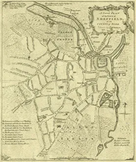
Background imageMaps of Sheffield Cushion Collection: A correct plan of the town of Sheffield by William Fairbank, 1771

A correct plan of the town of Sheffield by William Fairbank, 1771
Scale 440 yards : 3.3 inches. Shows the Bull Stake, slaughterhouses, Town Mill, Irish Cross. Original at Local Studies y09647

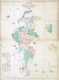
Background imageMaps of Sheffield Cushion Collection: Norton Estate as allotted for sale, 1849

Norton Estate as allotted for sale, 1849
Includes a floor plan of Norton Hall (see also y11091)Sheffield Local Studies Library:s (25) 6A L

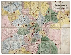
Background imageMaps of Sheffield Cushion Collection: Map of the Town and Environs of Sheffield, 1864

Map of the Town and Environs of Sheffield, 1864
Scale 1 inches : 1 mile. Board and church schools have been indicated at a later date and the ecclesiastical districts have been indicated by colouring.Original at Sheffield Archives ref. SY18/1

Background imageMaps of Sheffield Cushion Collection: A plan of the intended canal from Sheffield to Tinsley by W. and J. Fairbank, 1815

A plan of the intended canal from Sheffield to Tinsley by W. and J. Fairbank, 1815
Includes Greenland Engine.Original at Local Studies S33S

Background imageMaps of Sheffield Cushion Collection: Map of the Rivelin Valley Estate, 1934

Map of the Rivelin Valley Estate, 1934
Taken from a Report of Special Conference regarding the Development of the Rivelin Valley, Sheffield City Council, Sep 1934.Rivelin Mill, Rivelin Valley Road, Rivelin Hotel, St Michaels RC Cemetery

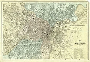
Background imageMaps of Sheffield Cushion Collection: Plan of Sheffield, Yorkshire, c. 1870 - 1905

Plan of Sheffield, Yorkshire, c. 1870 - 1905
Undated but shows the Midland Station as it was built in 1870, therefore between 1870 and 1905 when the station was enlarged. Original at Sheffield Local Studies Library: y11773

Background imageMaps of Sheffield Cushion Collection: The east prospect of Sheffield in the County of York, 1745

The east prospect of Sheffield in the County of York, 1745
By Nathaniel Buck. Original at Sheffield Local Studies Library: y10740

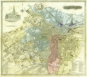
Background imageMaps of Sheffield Cushion Collection: Plan of Sheffield, 1838

Plan of Sheffield, 1838
Original at Sheffield Local Studies Library

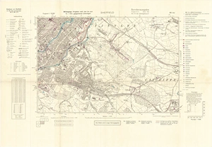
Background imageMaps of Sheffield Cushion Collection: North Sheffield marked with bombing targets, c. 1940

North Sheffield marked with bombing targets, c. 1940
Full title: Ordnance Survey map of north Sheffield copied by the Germans, and marked with bombing targets, c. 1940 Original at Sheffield Libraries: y06718

Background imageMaps of Sheffield Cushion Collection: Norton from the survey of W and J Fairbank, 1804

Norton from the survey of W and J Fairbank, 1804
Original at Sheffield Archives ref. NSC/127

Background imageMaps of Sheffield Cushion Collection: Plan of the Meersbrook Bank Estate near Sheffield, 1876

Plan of the Meersbrook Bank Estate near Sheffield, 1876
Scale 60 inches : 1 mile.Original at Sheffield Local Studies Library:s 25 (8) L

Background imageMaps of Sheffield Cushion Collection: Plan of Sheffield, 19th cent

Plan of Sheffield, 19th cent
From an original at Sheffield Libraries: y09469

Background imageMaps of Sheffield Cushion Collection: Plan of property situate at Stannington for sale

Plan of property situate at Stannington for sale
Lot 1 house, buildings, yard, Toft head, The Toft, Toft Bottom, Middle Field and Nether Field or Nether Toft (shows Roman Catholic School). Lot 2 Towns Field, Occupation Road

Background imageMaps of Sheffield Cushion Collection: Sheffield, 1822

Sheffield, 1822
Full title: Plan of Sheffield; engraved for the history and directory of Yorkshire, published by Edward Baines, Leeds, 1822 Includes a view of the General Infirmary (bottom left). By Alfred Smith

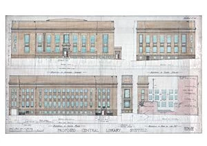
Background imageMaps of Sheffield Cushion Collection: New Central Library and Art Gallery building, Surrey Street - elevations, c. 1930

New Central Library and Art Gallery building, Surrey Street - elevations, c. 1930
Scale: 1 inch : 8 feet. From an original at Sheffield Libraries: arc01118

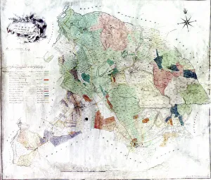
Background imageMaps of Sheffield Cushion Collection: Bradfield and Stannington Moors, 19th cent

Bradfield and Stannington Moors, 19th cent
Showing owners. By O. Spurr (lithographer). Scale 1 mile : 15 inches. Dimensions of original approx. 28 x 38.5 cm. From an original at Sheffield Libraries: arc02906

Background imageMaps of Sheffield Cushion Collection: Contoured plan of Rivelin Valley Road, Sheffield, Yorkshire, c. 1900

Contoured plan of Rivelin Valley Road, Sheffield, Yorkshire, c. 1900
Full title: Contoured plan of Rivelin Valley Road shewing land belonging to the Sheffield Water Department, c. 1900 From an original at Sheffield Libraries: arc02953 Scale 25 inches : 1 mile

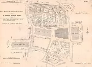
Background imageMaps of Sheffield Cushion Collection: Plan of Waingate / markets area, Sheffield, 1901

Plan of Waingate / markets area, Sheffield, 1901
Full title: Plan of Proposed New Street - Waingate to Blonk Street and Furnival Road; Widening of Exchange Street; Alteration of Banks of River Sheaf; and Acquisition of Lands for Markets

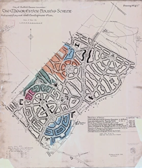
Background imageMaps of Sheffield Cushion Collection: Preliminary layout and development plan of the Manor Estate Housing Scheme, 1924

Preliminary layout and development plan of the Manor Estate Housing Scheme, 1924
Sheffield City Council, Estates Committee.Original dimensions: 93 x 79 cm.Sheffield Local Studies Library:s (13) 4 L

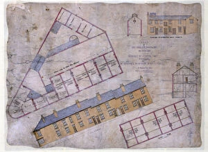
Background imageMaps of Sheffield Cushion Collection: Plan of houses, shop, slaughterhouse to be built in Johnson Street and Livingstone Street

Plan of houses, shop, slaughterhouse to be built in Johnson Street and Livingstone Street, Wincobank Sheffield, c. 1871
Full title: Plan of eight houses, shop, slaughterhouse and out-buildings to be built in Johnson Street and Livingstone Street, Wincobank for Mr Maycock, Butcher, c. 1871

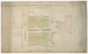
Background imageMaps of Sheffield Cushion Collection: Plan of Rockingham Street, Division Street, Rockingham Lane and Carver Street, Sheffield, 1829

Plan of Rockingham Street, Division Street, Rockingham Lane and Carver Street, Sheffield, 1829
Full title: Plan of certain building land the property of Messrs Brittain, Wilkinson and Brownell. Steel furnaces, cutlers shops and warehouse marked. Surveyed and drawn by J. Fairbank and Son

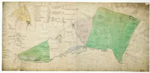
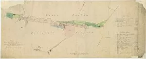
Background imageMaps of Sheffield Cushion Collection: Plan of the Rivelin Valley from Rivelin Mill to Hollins Bridge, c. 1814

Plan of the Rivelin Valley from Rivelin Mill to Hollins Bridge, c. 1814
From an original at Sheffield Libraries: arc03990. Reading left to right: Rivelin Mill, [River Rivelin], Upper Coppice Wheel, Second Coppice Wheel, Third Coppice Wheel, paper mill

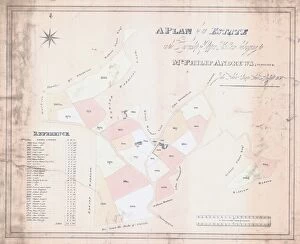
Background imageMaps of Sheffield Cushion Collection: A Plan of an Estate in the Township of Upper Hallam belonging to Mr Philip Andrews, 1830

A Plan of an Estate in the Township of Upper Hallam belonging to Mr Philip Andrews, 1830
Surveyor: John Leather.Original at Sheffield Local Studies Library:s (9) 1 L

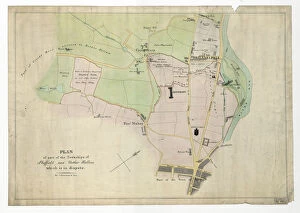
Background imageMaps of Sheffield Cushion Collection: Plan of part of the townships of Sheffield and Nether Hallam, Sheffield, c. 1826

Plan of part of the townships of Sheffield and Nether Hallam, Sheffield, c. 1826
Full title: Plan of part of the townships of Sheffield and Nether Hallam which is in dispute. Includes John Addys house, Lidgate Field, Shales Moor Close, White House Lane or Walkley Road

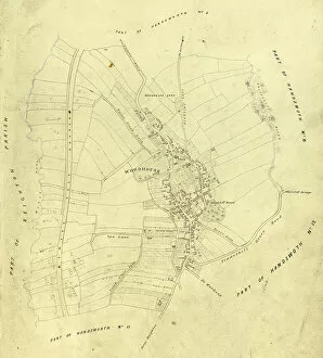
Background imageMaps of Sheffield Cushion Collection: Map of Woodhouse, Sheffield, Yorkshirec. 1855

Map of Woodhouse, Sheffield, Yorkshirec. 1855
Includes Birley Vale Branch railway, Woodhouse Leys. From a volume of maps of the parish of Handsworth, based on the enclosure award maps (1805) and corrected up to 1855

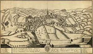
Background imageMaps of Sheffield Cushion Collection: North perspective view of the town of Sheffield, c. 1737

North perspective view of the town of Sheffield, c. 1737
Inscription reads: 'To the Worshipful the Master Wardens, Searchers and Assistants of the Corporation of Cutlers in Hallamshire in the County of York

Background imageMaps of Sheffield Cushion Collection: Map of the estate belonging to the late William Wilson, c. 1850

Map of the estate belonging to the late William Wilson, c. 1850
Full title: Map of the estate belonging to the late William Wilson lying between Sharrow Mills and Endcliffe Wood made to shew to whom each part now belongs, c. 1850

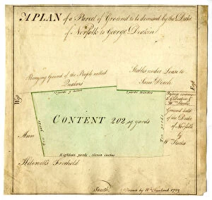
Background imageMaps of Sheffield Cushion Collection: Plan of tenement near the Quaker Burial Ground, Hartshead, Sheffield, 1789

Plan of tenement near the Quaker Burial Ground, Hartshead, Sheffield, 1789
Full title: A plan of a parcel of ground to be demised by the Duke of Norfolk to George Deakin [tenement near the Quaker Burial Ground, Hartshead]. Surveyor: William Fairbank II

Background imageMaps of Sheffield Cushion Collection: Plan of the second Meadow Hall Freehold Land Societys Estate, 1874

Plan of the second Meadow Hall Freehold Land Societys Estate, 1874
From an original at Sheffield Libraries: y13761

Background imageMaps of Sheffield Cushion Collection: Totley enclosure map, 1842

Totley enclosure map, 1842
By George Sanderson, surveyor of Mansfield. From an original at Sheffield Libraries: arc02952

Background imageMaps of Sheffield Cushion Collection: Plan of the Furnace at Chapeltown, Sheffield, 1777

Plan of the Furnace at Chapeltown, Sheffield, 1777
Full title: Plan of the Furnace at Chapeltown with the Watercourses above and below it, describing by a gilded line the proposed Cut through the Lands of the Duke of Norfolk to the intended Furnace

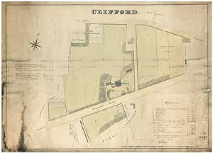
Background imageMaps of Sheffield Cushion Collection: Clifford House, Psalter Lane, Sheffield and surrounding land, 1820

Clifford House, Psalter Lane, Sheffield and surrounding land, 1820
Scale 1 inch : 100 yards. Surveyors: W and J. Fairbank. Includes Clifford House, pleasure gardens and plantation; school, parcels of lands such as Workhouse Croft

Background imageMaps of Sheffield Cushion Collection: A map of the dams, goights and other works belonging to the Pond Forge Co, Sheffield, Yorkshire

A map of the dams, goights and other works belonging to the Pond Forge Co, Sheffield, Yorkshire
Full title: A map of the dams, goights and other works belonging to the Pond Forge Co together with some other intermediate properties

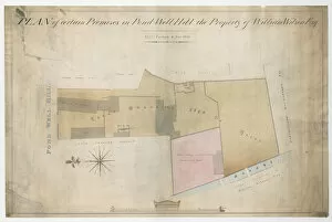
Background imageMaps of Sheffield Cushion Collection: A plan of certain premises in Pond Well Hill, Sheffield, the property of William Wilson, 1838

A plan of certain premises in Pond Well Hill, Sheffield, the property of William Wilson, 1838
Thomas Rawson and Co. Thomas Allen Jeremiah Mate, late Charles Hodgson, Bartholomew Hounsfield esquire, William Wilsons leasehold property, other properties of William Wilson esquire

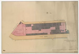
Background imageMaps of Sheffield Cushion Collection: Plan of Thomas Rawson and Co. Pond Street Brewery, Sheffield, Yorkshire, 1832

Plan of Thomas Rawson and Co. Pond Street Brewery, Sheffield, Yorkshire, 1832
Marked: Pond Street, Arundel Street, vacant ground or hop yard, houses, malt houses, joiners shops, stables, shed, coopers shops, scalding room, malt warehouse with vat houses under, drying kilns

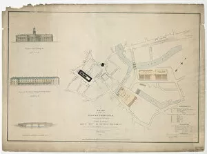
Background imageMaps of Sheffield Cushion Collection: Plan of part of the markets in Sheffield, 1827

Plan of part of the markets in Sheffield, 1827
Full title: Plan of part of the town of Sheffield, comprising the site of the present and proposed corn, hay and cattle markets, also various improvements connected with the latter

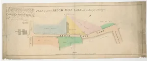
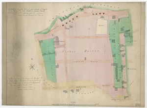
Background imageMaps of Sheffield Cushion Collection: Plan of part of Broom Hall Lane, Sheffield, 1830

Plan of part of Broom Hall Lane, Sheffield, 1830
Signed by T.B. Holy and A. Lawson. Scale 1 inch : 10 yards. Dimensions of approx. 98 x 39 cm. Shows Broom Lodge, Hanover Road, Clarence Street, Headford Street

Background imageMaps of Sheffield Cushion Collection: Plan of part of the west side of the township of Sheffield, 1829

Plan of part of the west side of the township of Sheffield, 1829
Full title: Plan of part of the west side of the township of Sheffield shewing the parts of Nether Hallam and Ecclesall Bierlow intermixed therewith and adjoining upon it

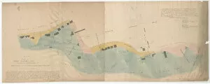
Background imageMaps of Sheffield Cushion Collection: Plan shewing the antient [sic] boundary line between part of the townships of Sheffield

Plan shewing the antient [sic] boundary line between part of the townships of Sheffield, Ecclesall and Nether Hallam
Signed by Josiah Fairbank and William Fairbank Fairbank. Also signed by W. Smith, Joshua Denton, Thomas Turner and Joseph Senior, Overseers of the Poor of Sheffield and Josiah Davy, John Smith

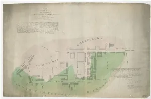
Background imageMaps of Sheffield Cushion Collection: Plan of part of the townships of Sheffield and Ecclesall Bierlow

Plan of part of the townships of Sheffield and Ecclesall Bierlow, shewing the ancient boundary line, 1835
By J. Fairbank and Son. Also signed by W. Smith, Joshua Denton, Thomas Turner and Joseph Senior, Overseers of the Poor of Sheffield and Josiah Davy, John Smith, Samuel Mitchell and John Ward

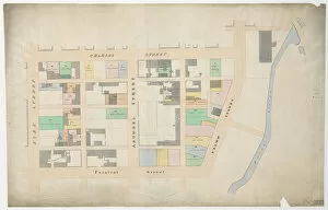
Background imageMaps of Sheffield Cushion Collection: Plan of Arundel Street, Charles Street, etc, Sheffield, c. 1829

Plan of Arundel Street, Charles Street, etc, Sheffield, c. 1829
From an original at Sheffield Libraries: arc04031 The watermark is 1829, and the plan is drawn in the same style as those of the Sylvester Street properties Shows Arundel Street, Furnival Street

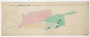
Background imageMaps of Sheffield Cushion Collection: Plan of Broomhall Mill, Sheffield, [1828]

Plan of Broomhall Mill, Sheffield, [1828]
Full title: Plan of Broomhall Mill with the ground adjoining belonging to the representatives of Samuel Andrews deceased, [1828] From an original at Sheffield Libraries: arc04011

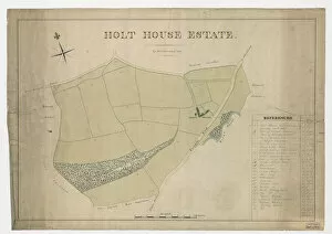
Background imageMaps of Sheffield Cushion Collection: Plan of Holt House estate, Abbeydale, Sheffield, 1823

Plan of Holt House estate, Abbeydale, Sheffield, 1823
By W. and J. Fairbank, 1823. Landowners shown: Edward Loukas, John Crowshaw, Peter Wigfull, Earl Fitzwilliam and Richard Swallow

Background imageMaps of Sheffield Cushion Collection: Owlerton. Lady Burgoynes land - White House, High House, Hill Foot, Limerick Wheel, Sheffield

Owlerton. Lady Burgoynes land - White House, High House, Hill Foot, Limerick Wheel, Sheffield, [1825]
Includes: Hill Bridge, River Loxley, River Dun [Don], Limerick [Limbrick] Wheels, Barracks, Hill Foot, Cuthbert Bank Wood, Rawson Spring wood

Background imageMaps of Sheffield Cushion Collection: Plan of Owlerton Hall estate, Sheffield [1825]

Plan of Owlerton Hall estate, Sheffield [1825]
The property of Lady Burgoyne. From an original at Sheffield Libraries: arc03995

Background imageMaps of Sheffield Cushion Collection: Plan of Ranmoor and Nether Green, Sheffield, 1830

Plan of Ranmoor and Nether Green, Sheffield, 1830
Full title: Plan of estates at Rand Moor [Ranmoor] and Nether Green in the township of Upper Hallam the property of John Eyre

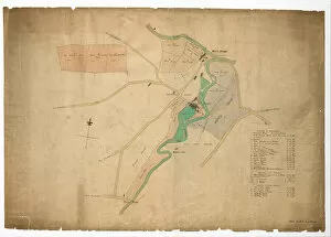
Background imageMaps of Sheffield Cushion Collection: Mousehole Forge, Rivelin Valley, Rivelin, c. 1825

Mousehole Forge, Rivelin Valley, Rivelin, c. 1825
From an original at Sheffield Libraries: arc03989. Shows road from Little Matlock, [Wood Lane], public house [The Anvil], road from Stannington [Stannington Road], Rivelin Valley Road, River Rivelin

Background imageMaps of Sheffield Cushion Collection: Plan showing the Porter Brook, Whiteley Woods, Sheffield, c. 1826

Plan showing the Porter Brook, Whiteley Woods, Sheffield, c. 1826
Shows the Porter Brook from Forge Dam across to Hangingwater Road. From an original at Sheffield Libraries: arc03974


All Professionally Made to Order for Quick Shipping


-

Why Choose Us?

We are a leading provider of Art Prints and Photo Gifts since 2003, working in partnership with a range of Sporting Clubs, Charities, Museums and Picture Libraries. A large share of profits from any of their images will go directly towards supporting that charity or club. Our archive of images is carefully curated to bring you a wide range of subjects, including landscapes, wildlife, architecture, and more. We ship from our partner labs in the UK, USA, EU (Netherlands) and Australia.
+

How do I place an order?

Ordering is quick & easy - Just follow 5 Simple Steps:
  1. Find your image: Use our search box or browse our online photo Collections to find the image you want.

  2. Choose your print format: Select your desired product and add it to your cart.

  3. Enter your details: If you're a returning customer, simply enter your email address and password, and we'll fill in your billing and shipping address details. All personal details are held securely and are fully GDPR compliant. As standard, we remove all Personally Identifiable Information after 12 months.

  4. Pay for your purchase: We use state-of-the-art security for online shopping and do not have access to your card details.

  5. Sit back and relax: We'll email you confirmation of your order and when it's dispatched. Registered customers can also track orders in the 'My Account' area.

+

How do I pay for an order?

You can pay for your order with most of the major credit and debit cards, or PayPal. For added security, major financial institutions process payment details separately and securely on our behalf. We do not have access to your online payment card details. Online payments are preferred however we do take phone orders. For UK customers only we accept cheques issued against a UK bank.
+

Is my data safe?

We take data security very seriously. We do not have access to your full card details and all payments are requested over a fully secure connection. Additionally, we fully comply with current European and GDPR legislation, and automatically remove all personal data after at most 12 months (unless you have an account with us and have signed in recently). We also have a strict opt-in policy and would never sell your personal details. Your data is only used to fulfill your order promptly and efficiently.
+

Is wall art ready to hang?

For quick and easy installation all wall art, including framed prints, canvas prints and metal prints are supplied with a ready to hang solution on the back. Generally, saw tooth hangers are applied as they allow wall art to hang flush against the wall. The serrated edge of the hanger prevents the frame from shifting or tilting when hung.
+

Are the photo prints fade resistant?

Yes, we use archival quality photo paper photographic paper for vivid reproduction Prints are an accurate representations of the original artwork, which is preserved for artistic character and authenticity. We guarantee they match previews shown on our web site