Antique Framed Print > Europe > United Kingdom > Scotland > Maps
Antique Framed Print : Map Of The British Isles, Circa. 1760. From "Atlas De Toutes Les Parties Connues Du Globe Terrestre "By Cartographer Rigobert Bonne. Published Geneva Circa. 1760


![]()
Framed Photos from Design Pics
Map Of The British Isles, Circa. 1760. From "Atlas De Toutes Les Parties Connues Du Globe Terrestre "By Cartographer Rigobert Bonne. Published Geneva Circa. 1760
Map Of The British Isles, Circa.1760. From " Atlas De Toutes Les Parties Connues Du Globe Terrestre " By Cartographer Rigobert Bonne. Published Geneva Circa. 1760
Design Pics offers Distinctively Different Imagery representing over 1,500 contributors
Media ID 18186469
© Ken Welsh / Design Pics
Cartography Geography Isles Mapmaking Plate Scotland Wales
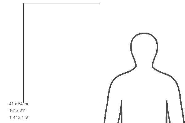
21"x16" (54x41cm) Antique Frame
Bevelled wood effect frame, card mounted, 15x10 archival quality photo print. Overall outside dimensions 21x16 inches (54x41cm). Environmentally and ozone friendly, Polycore® moulding has the look of real wood, is durable and light and easy to hang. Biodegradable and made with non-chlorinated gases (no toxic fumes) it is efficient; producing 100 tons of polystyrene can save 300 tons of trees! Prints are glazed with lightweight, shatterproof, optical clarity acrylic (providing the same general protection from the environment as glass). The back is stapled hardboard with a sawtooth hanger attached. Note: To minimise original artwork cropping, for optimum layout, and to ensure print is secure, the visible print may be marginally smaller
Bevelled Wood Effect Framed and Mounted Prints - Professionally Made and Ready to Hang
Estimated Image Size (if not cropped) is 24.8cm x 37.1cm (9.8" x 14.6")
Estimated Product Size is 41.4cm x 54cm (16.3" x 21.3")
These are individually made so all sizes are approximate
Artwork printed orientated as per the preview above, with portrait (vertical) orientation to match the source image.
FEATURES IN THESE COLLECTIONS
> Europe
> Republic of Ireland
> Maps
> Europe
> United Kingdom
> England
> Maps
> Europe
> United Kingdom
> Scotland
> Maps
> Europe
> United Kingdom
> Wales
> Maps
> Europe
> United Kingdom
> Wales
> Posters
> Europe
> United Kingdom
> Wales
> Related Images
> Maps and Charts
> Related Images
> Maps and Charts
> Wales
EDITORS COMMENTS
This stunning print showcases a historical treasure - the Map of the British Isles, circa 1760. Created by renowned cartographer Rigobert Bonne and published in Geneva during the same period, this map is a testament to the artistry and precision of early mapmaking. The intricate details and vibrant colors bring this piece to life, allowing viewers to explore the geography of England, Scotland, Wales, and Ireland from centuries ago. The carefully engraved lines depict coastlines, rivers, mountains, and cities with remarkable accuracy. As we gaze upon this vertical plate illustration, we are transported back in time to an era when exploration was at its peak. This map serves as a window into history - a snapshot of how people perceived their world over two centuries ago. Beyond its aesthetic appeal lies its educational value. Students of geography can delve into the past as they study changes in borders or discover forgotten towns that have since faded away. History enthusiasts can trace trade routes or imagine what life was like for those living on these lands long ago. Ken Welsh's expert photography captures every minute detail with clarity and precision. Whether displayed in homes or classrooms alike, this print is sure to captivate all who lay eyes upon it – reminding us of our connection to both our ancestors' journeys and the ever-changing landscapes that shape our present-day reality.
MADE IN THE UK
Safe Shipping with 30 Day Money Back Guarantee
FREE PERSONALISATION*
We are proud to offer a range of customisation features including Personalised Captions, Color Filters and Picture Zoom Tools
SECURE PAYMENTS
We happily accept a wide range of payment options so you can pay for the things you need in the way that is most convenient for you
* Options may vary by product and licensing agreement. Zoomed Pictures can be adjusted in the Basket.