Acrylic Blox > Granger Art on Demand > Plans and Diagrams
Acrylic Blox : An early 19th century chart of the Gulf Stream according to the discoveries and writings of Benjamin Franklin
![]()

Mounted Prints from Granger
An early 19th century chart of the Gulf Stream according to the discoveries and writings of Benjamin Franklin
GULF STREAM CHART.
An early 19th century chart of the Gulf Stream according to the discoveries and writings of Benjamin Franklin
Granger holds millions of images spanning more than 25,000 years of world history, from before the Stone Age to the dawn of the Space Age
Media ID 10410308
Atlantic Ocean Coast Diagram East Franklin Gulf Of Mexico Nova Scotia Oceanography Seashore Thirteen Colonies Gulf Stream
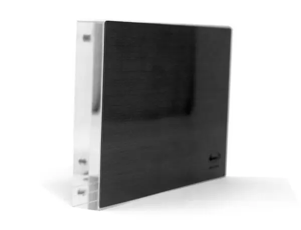
8"x6" (20x15cm) Acrylic Blox
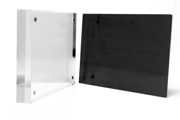
Your photographic print is held in place by magnets and a micro thin sheet of metal covering the back of a 20mm piece of clear acrylic. Your print is held in place with magnets so can easily be replaced if needed.
Streamlined, one sided modern and attractive table top print
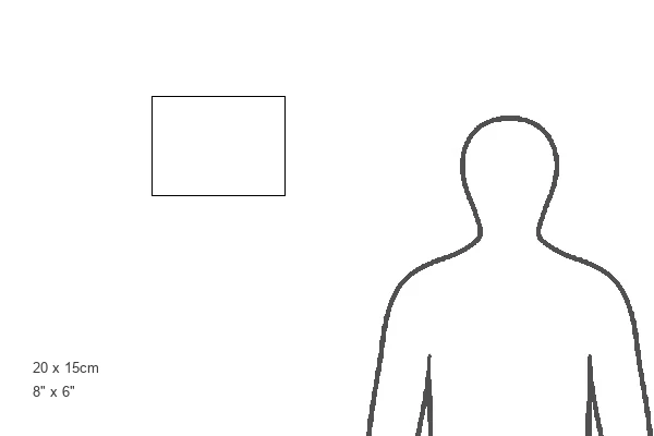
Estimated Product Size is 20.3cm x 15.2cm (8" x 6")
These are individually made so all sizes are approximate
Artwork printed orientated as per the preview above, with landscape (horizontal) orientation to match the source image.
EDITORS COMMENTS
This print showcases an early 19th-century chart of the Gulf Stream, meticulously crafted based on the groundbreaking discoveries and writings of Benjamin Franklin. A true testament to both scientific exploration and artistic precision, this piece takes us back in time to a period when maritime navigation was still in its infancy. The map itself is a remarkable fusion of artistry and scientific knowledge. It vividly depicts the intricate network of currents that make up the Gulf Stream, flowing through the Atlantic Ocean from Nova Scotia down to the Gulf of Mexico. The chart also highlights important coastal landmarks such as rivers, seashores, and even colonies along its path. As we delve into this historical artifact, we are reminded of Benjamin Franklin's immense contributions to oceanography. His relentless curiosity led him to study and document this powerful current system extensively. Through his meticulous observations and experiments, he unraveled many mysteries surrounding the Gulf Stream's behavior. This print serves as a visual reminder not only of Franklin's pioneering spirit but also our never-ending quest for understanding nature's wonders. Whether you are an admirer of maritime history or simply appreciate beautiful maps with rich historical significance, this artwork will undoubtedly transport you back in time while igniting your imagination about life at sea during the 19th century.
MADE IN THE UK
Safe Shipping with 30 Day Money Back Guarantee
FREE PERSONALISATION*
We are proud to offer a range of customisation features including Personalised Captions, Color Filters and Picture Zoom Tools
FREE COLORIZATION SERVICE
You can choose advanced AI Colorization for this picture at no extra charge!
SECURE PAYMENTS
We happily accept a wide range of payment options so you can pay for the things you need in the way that is most convenient for you
* Options may vary by product and licensing agreement. Zoomed Pictures can be adjusted in the Basket.


