Tote Bag > Europe > United Kingdom > England > London > Sights > Kensington Gardens
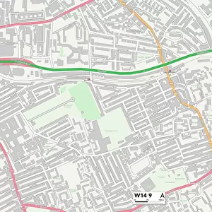
Tote Bag : Kensington and Chelsea W10 6 Map


![]()
Home Decor from Map Marketing
Kensington and Chelsea W10 6 Map
Postcode Sector Map of Kensington and Chelsea W10 6
Media ID 19982788
Balliol Road Bassett Road Blake Close Bramley Road Bridge Close Bruce Close Cambridge Gardens Chesterton Road Hill Farm Road Kensington And Chelsea Kingsbridge Road Kingsdown Close Ladbroke Grove Latimer Road Malton Road Nursery Lane Oxford Gardens St Andrews Square St Marks Road Westview Close Westway North Kensington
Canvas Tote Bag
Our tote bags are made from soft, durable, poly-poplin fabric and include a one inch (2.5cm) black strap for easy carrying on your shoulder. All seams are double-stitched for added durability. Each tote bag is machine-washable in cold water and is printed on both sides using the same image. Approximate size of bag is 50x33cm (20"x13")
Our tote bags are made from soft durable fabric and include a strap for easy carrying
Estimated Product Size is 50cm x 32.7cm (19.7" x 12.9")
These are individually made so all sizes are approximate
FEATURES IN THESE COLLECTIONS
> Map Marketing
> Postcode Sector Maps
> W - London W
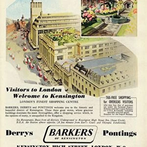
> Arts
> Artists
> B
> Charles Bruce
> Europe
> United Kingdom
> England
> London
> Sights
> Kensington Gardens
> Europe
> United Kingdom
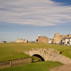
> Scotland
> Fife
> St Andrews
> Maps and Charts
> Related Images
MADE IN THE UK
Safe Shipping with 30 Day Money Back Guarantee
FREE PERSONALISATION*
We are proud to offer a range of customisation features including Personalised Captions, Color Filters and Picture Zoom Tools
SECURE PAYMENTS
We happily accept a wide range of payment options so you can pay for the things you need in the way that is most convenient for you
* Options may vary by product and licensing agreement. Zoomed Pictures can be adjusted in the Basket.