Fraud Blocker Skip to main content

Home > Science Photo Library > Aerial and Satellite

Aerial and Satellite Collection (page 2)

210 items

We are proud to offer this selection in partnership with Science Photo Library

Background imageAerial and Satellite Collection: Earth, topographic and bathymetric map

Earth, topographic and bathymetric map. This map is centred on the Pacific Ocean, at longitude 140 degrees west. Highlands and lowlands of the continents are shown as ridges and flat areas

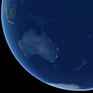
Background imageAerial and Satellite Collection: Australia at night, satellite image

Australia at night, satellite image. City lights (yellow) show areas of more dense population, particularly in Southeast Asia (top left) and on Australias east coast

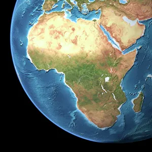
Background imageAerial and Satellite Collection: Africa, topographic map

Africa, topographic map. Highlands and lowlands of the continents are shown as ridges and flat areas. Southern Europe and the Middle East are also seen at top and upper right respectively

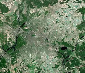
Background imageAerial and Satellite Collection: Berlin, Germany, satellite image

Berlin, Germany, satellite image
Berlin, Germany. Satellite image of the city of Berlin (centre) and its surrounding area in northeastern Germany. North is at top

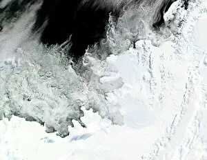
Background imageAerial and Satellite Collection: Wilkins Ice Shelf, Antarctica

Wilkins Ice Shelf, Antarctica
Wilkins Ice Shelf. Satellite image showing the location of the Wilkins Ice Shelf (just above and right of centre) on the Antarctic Peninsula

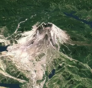
Background imageAerial and Satellite Collection: Mount St Helens, 3D satellite image

Mount St Helens, 3D satellite image. Satellite image showing the northwest face of the snow-capped Mount St Helens. Green is vegetation, white is snow and ice, and blue is water

Background imageAerial and Satellite Collection: The Arctic, satellite image

The Arctic, satellite image
Europe. Satellite image of the Earth, set against a background of stars, centred on the continent of Europe. North is at top. Clouds (white) are seen in the atmosphere

Background imageAerial and Satellite Collection: North America, satellite image

North America, satellite image. Oceans are blue and land is green and brown. South America (bottom right) and the Arctic (top, white) are also seen

Background imageAerial and Satellite Collection: Hawai i, satellite image

Hawai i, satellite image. Satellite image of the island of Hawai i, also known as Big Island. Vegetation is green, water is blue, and cloud is white

Background imageAerial and Satellite Collection: Earth with 5 hurricanes, satellite image

Earth with 5 hurricanes, satellite image
Earth with five hurricanes, satellite image. North is at top. There are five rotating cloud systems (white) seen across the upper hemisphere of Earth

Background imageAerial and Satellite Collection: River Nile, Luxor, Egypt

River Nile, Luxor, Egypt, as seen from the International Space Station (ISS). North is towards bottom left. Agricultural fields (green) are sustained by the waters of the Nile (dark blue)

Background imageAerial and Satellite Collection: High-altitude clouds, satellite image

High-altitude clouds, satellite image. These swirling clouds are being shaped by high-altitude winds. They are over the Mediterranean Sea, just north of the coast of Morocco

Background imageAerial and Satellite Collection: Oxford, UK, aerial image

Oxford, UK, aerial image. The city is home to the oldest university in the English-speaking world

Background imageAerial and Satellite Collection: Palace of Westminster, London, aerial

Palace of Westminster, London, aerial
Palace of Westminster, London, UK, aerial view. The Palace of Westminster (down centre) lies on the north bank of the River Thames

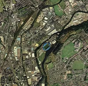
Background imageAerial and Satellite Collection: Huddersfield, UK, aerial image

Huddersfield, UK, aerial image
Huddersfield, Kirklees, UK, aerial image. Prominent at centre is the Galpharm Stadium, home of Huddersfield Town football club and Huddersfield Giants rugby league club

Background imageAerial and Satellite Collection: Nazca lines

Nazca lines. Aerial photograph of a geoglyph, or landscape drawing, in the coastal desert of southern Peru. The white lines of this geoglyph represent a hummingbird with its beak extending to upper

Background imageAerial and Satellite Collection: Brighton, UK

Brighton, UK, aerial photograph. Brighton is a city on the south coast of England. Since Victorian times it has been a seaside resort

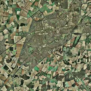
Background imageAerial and Satellite Collection: Newbury, UK, aerial image

Newbury, UK, aerial image
Newbury, UK, aerial photograph. Newbury is a town in Berkshire, England. The settlement dates to the 11th century. The town has a population of some 32, 000 (2004)

Background imageAerial and Satellite Collection: Stoke-on-Trent, UK, aerial image

Stoke-on-Trent, UK, aerial image. The city of Stoke merges with the town of Newcastle under Lyme to its west (left)

Background imageAerial and Satellite Collection: Basingstoke, UK

Basingstoke, UK, aerial photograph. Basingstoke is a medium-sized modern town in the county of Hampshire. Its main employers are in the financial services industry

Background imageAerial and Satellite Collection: Richat Structure, satellite image

Richat Structure, satellite image. North is at top. Desert sands are pale yellow/white (top left and lower right), while less sandy, rocky areas are green, and volcanic rocks are blue

Background imageAerial and Satellite Collection: Old peat fields

Old peat fields. Aerial photograph of old peatland in the Somersert Levels, Somerset, UK

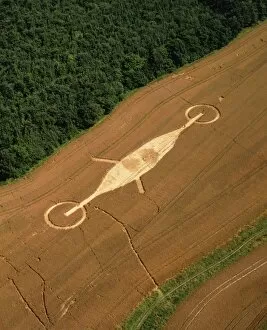
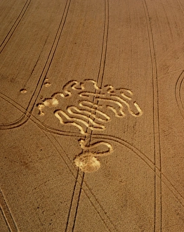
Background imageAerial and Satellite Collection: Crop formation, Lockeridge, Wiltshire

Crop formation, Lockeridge, Wiltshire
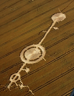
Aerial view of a crop formation at Lockeridge, Wiltshire, England. Crop formations are patterns of flattened plants in crops such as wheat or barley

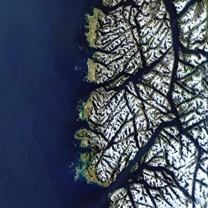
Background imageAerial and Satellite Collection: Chilean fjords

Chilean fjords, satellite image. During the last ice age, glaciers on the southern tip of Chile gouged out deep valleys. When the ice age ended the glaciers melted and the sea level rose

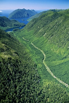
Background imageAerial and Satellite Collection: Aerial view of a regenerating clear-cut forest

Aerial view of a regenerating clear-cut forest
Regenerating forest. Aerial view of a valley forest which is regenerating after being clear cut. Older, taller trees line the slopes of the valley

Background imageAerial and Satellite Collection: Suburban housing

Suburban housing. Aerial photgraph of housing and roads in Southampton, UK. The road running left to right across centre is Winchester Road

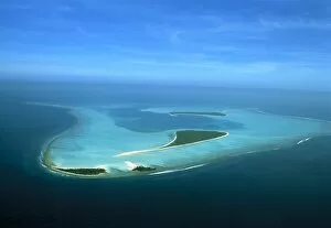
Background imageAerial and Satellite Collection: Coral reef

Coral reef. Aerial view of a reef island, part of the Lakshadweep Archipelago of 36 islands, about 350 kilometres west of India

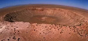
Background imageAerial and Satellite Collection: Aerial view of Meteor Crater, Arizona

Aerial view of Meteor Crater, Arizona
Meteor Crater. Fish-eye lens aerial view of Meteor Crater, near Winslow in northeast Arizona, USA. It is also called the Barringer Crater

Background imageAerial and Satellite Collection: Peloponnese, Greece

Peloponnese, Greece. Aerial photograph of Peloponnese (also known as Peloponnisos), a large peninsula in southern Greece. It is separated from mainland Greece by the Corinthian Gulf

Background imageAerial and Satellite Collection: Fields in Utah

Fields in Utah. Aerial photograph of fields in Modena, Utah, USA

Background imageAerial and Satellite Collection: Bristol, UK, aerial image

Bristol, UK, aerial image
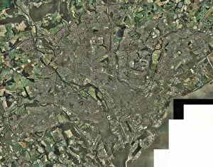
Bristol, UK, aerial photograph. Bristol is a city in the west of England located on the Bristol Channel (not seen). The river Avon, which flows into the channel, is seen at left

Background imageAerial and Satellite Collection: Aerial view of pine forest

Aerial view of pine forest
Pine forest, aerial view. Photographed in British Columbia, Canada

Background imageAerial and Satellite Collection: Crop formation, Cheesefoot, Hampshire

Crop formation, Cheesefoot, Hampshire
Aerial view of a crop formation at Cheesefoot, Hampshire, England. Crop formations are patterns of flattened plants in crops such as wheat or barley

Background imageAerial and Satellite Collection: Crop formation, Cheesefoot, Hampshire

Crop formation, Cheesefoot, Hampshire
Aerial view of a crop formation at Cheesefoot, Hampshire, England. Crop formations are patterns of flattened plants in crops such as wheat or barley

Background imageAerial and Satellite Collection: Crop formation, Hungerford, Berkshire

Crop formation, Hungerford, Berkshire
Aerial view of a crop formation near Hungerford, Berkshire, England. Crop formations are patterns of flattened plants in crops such as wheat or barley

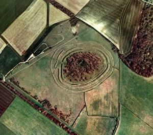
Background imageAerial and Satellite Collection: Badbury Rings

Badbury Rings. Aerial photograph of Badbury Rings, an Iron Age hillfort consisting of three circular ramparts surrounding an inner fort (centre)

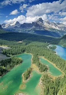
Background imageAerial and Satellite Collection: Mary Lake

Mary Lake. Aerial view of Mary Lake, a glacial lake fed by meltwater from mountain glaciers. As a result the lake is full of silt and minerals, giving it an almost opaque blue colour

Background imageAerial and Satellite Collection: Cardiff, aerial photograph

Cardiff, aerial photograph
Cardiff, Wales, UK, aerial photograph. Cardiff is the capital city of Wales. It is a port on the Bristol Channel (not imaged at lower right)

Background imageAerial and Satellite Collection: Crop formation, Hungerford, Berkshire

Crop formation, Hungerford, Berkshire
Aerial view of a crop formation near Hungerford, Berkshire, England. Crop formations are patterns of flattened plants in crops such as wheat or barley

Background imageAerial and Satellite Collection: Aerial view of Meteor Crater, Arizona

Aerial view of Meteor Crater, Arizona
Meteor Crater. Fish-eye lens aerial view of Meteor Crater, near Winslow in northeast Arizona, USA. It is also called the Barringer Crater

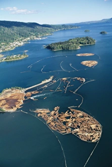
Background imageAerial and Satellite Collection: Aerial view of felled timber logs on water

Aerial view of felled timber logs on water
Timber industry. Aerial view of tree logs in floating storage areas. The logs have been corralled using floating booms. The logs have been floated from a timber felling area for use in a log mill

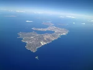
Background imageAerial and Satellite Collection: Greek islands

Greek islands. Aerial photograph of the Greek islands Milos (centre), Kimolos (upper centre, just above Milos) and Polyaigos (to the right of Kimolos)

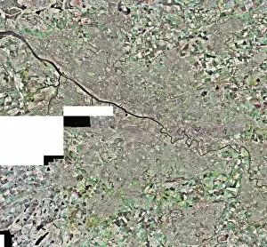
Background imageAerial and Satellite Collection: Glasgow, UK, aerial image

Glasgow, UK, aerial image
Glasgow, UK, aerial photograph. Glasgow is the largest city in Scotland, with a population of around 610, 000 (2003). It is in western Scotland on the banks of the river Clyde

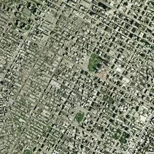
Background imageAerial and Satellite Collection: Manhattan, New York City, aerial image

Manhattan, New York City, aerial image
Manhattan, New York City, aerial photograph. North is at top. This is one of the most densely populated urban areas in the world

Background imageAerial and Satellite Collection: Dry river beds, satellite image

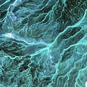
Dry river beds, satellite image. North is at top. The bright blue areas are meandering wadis (dry river beds) that have formed in this desert area due to flooding

Background imageAerial and Satellite Collection: Aerial view of Meteor Crater, Arizona

Aerial view of Meteor Crater, Arizona
Meteor Crater. Aerial view of Meteor Crater, near Winslow in northeast Arizona, USA. It is also called the Barringer Crater

Background imageAerial and Satellite Collection: Aerial view of Rio Napo, eastern Equador

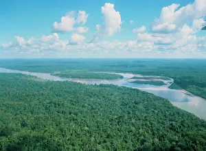
Aerial view of Rio Napo, eastern Equador

Background imageAerial and Satellite Collection: Crop formation, Alton Barnes, Wiltshire

Crop formation, Alton Barnes, Wiltshire
Aerial view of a crop formation near Alton Barnes, Wiltshire, England. Crop formations are patterns of flattened plants in crops such as wheat or barley


All Professionally Made to Order for Quick Shipping


-

Why Choose Us?

We are a leading provider of Art Prints and Photo Gifts since 2003, working in partnership with a range of Sporting Clubs, Charities, Museums and Picture Libraries. A large share of profits from any of their images will go directly towards supporting that charity or club. Our archive of images is carefully curated to bring you a wide range of subjects, including landscapes, wildlife, architecture, and more. We ship from our partner labs in the UK, USA, EU (Netherlands) and Australia.
+

How do I place an order?

Ordering is quick & easy - Just follow 5 Simple Steps:
  1. Find your image: Use our search box or browse our online photo Collections to find the image you want.

  2. Choose your print format: Select your desired product and add it to your cart.

  3. Enter your details: If you're a returning customer, simply enter your email address and password, and we'll fill in your billing and shipping address details. All personal details are held securely and are fully GDPR compliant. As standard, we remove all Personally Identifiable Information after 12 months.

  4. Pay for your purchase: We use state-of-the-art security for online shopping and do not have access to your card details.

  5. Sit back and relax: We'll email you confirmation of your order and when it's dispatched. Registered customers can also track orders in the 'My Account' area.

+

How do I pay for an order?

You can pay for your order with most of the major credit and debit cards, or PayPal. For added security, major financial institutions process payment details separately and securely on our behalf. We do not have access to your online payment card details. Online payments are preferred however we do take phone orders. For UK customers only we accept cheques issued against a UK bank.
+

Is my data safe?

We take data security very seriously. We do not have access to your full card details and all payments are requested over a fully secure connection. Additionally, we fully comply with current European and GDPR legislation, and automatically remove all personal data after at most 12 months (unless you have an account with us and have signed in recently). We also have a strict opt-in policy and would never sell your personal details. Your data is only used to fulfill your order promptly and efficiently.
+

Is wall art ready to hang?

For quick and easy installation all wall art, including framed prints, canvas prints and metal prints are supplied with a ready to hang solution on the back. Generally, saw tooth hangers are applied as they allow wall art to hang flush against the wall. The serrated edge of the hanger prevents the frame from shifting or tilting when hung.
+

Are the photo prints fade resistant?

Yes, we use archival quality photo paper photographic paper for vivid reproduction Prints are an accurate representations of the original artwork, which is preserved for artistic character and authenticity. We guarantee they match previews shown on our web site