Postcard > Arts > Artists > W > Frederick de Wit
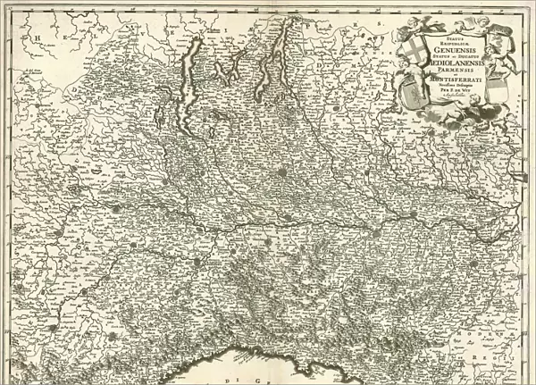
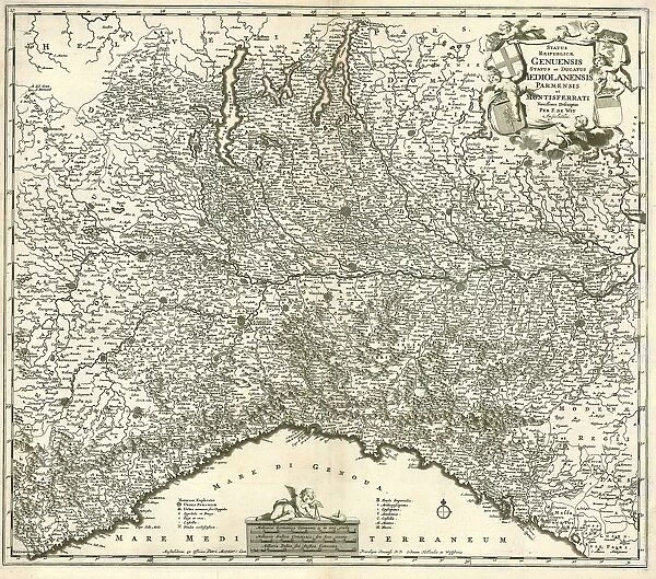
Postcard : Map Status reipublicae Genuensis status et ducatus Mediolanensis Par
![]()

Cards from Liszt Collection
Map Status reipublicae Genuensis status et ducatus Mediolanensis Par
Map, Status reipublicae Genuensis status et ducatus Mediolanensis Parmensis et Montisferrati novissima descriptio, Frederick de Wit (1630-1706), Copperplate print
Liszt Collection of nineteenth-century engravings and images to browse and enjoy
Media ID 19587079
© Artokoloro
1630 1706 Copperplate Print Frederick De Wit
Postcards (8 pack of A6)
Set of 8, A6 Postcards, featuring the same image on all cards in a set. Printed on 350gsm premium white satin card, the back of the postcard includes space to write messages and an area for the address and stamp. Size of each postcard is 15cm x 10.6cm.
Photo postcards are a great way to stay in touch with family and friends.
Estimated Product Size is 15cm x 10.6cm (5.9" x 4.2")
These are individually made so all sizes are approximate
Artwork printed orientated as per the preview above, with landscape (horizontal) or portrait (vertical) orientation to match the source image.
FEATURES IN THESE COLLECTIONS
> Arts
> Artists
> W
> Frederick de Wit
> Maps and Charts
> Related Images
EDITORS COMMENTS
This copperplate print, titled "Map Status reipublicae Genuensis status et ducatus Mediolanensis Par" is a true masterpiece by the renowned cartographer Frederick de Wit (1630-1706). The intricate details and exquisite craftsmanship of this map are truly awe-inspiring. The print depicts a comprehensive and up-to-date representation of the territories of Genua, Milan, Parma, and Montisferrati. Every line and contour has been meticulously engraved onto the copperplate to create an accurate portrayal of these regions during that time period. As you gaze upon this historical artifact from the Liszt Collection, you can't help but marvel at its beauty. The delicate shading techniques used to depict mountains, rivers, and cities add depth and dimension to the map. Each city is marked with precision using tiny symbols that indicate their importance or significance in trade routes. This particular piece showcases De Wit's exceptional skill in combining both artistry and scientific accuracy. It serves as a testament to his dedication as a cartographer during an era when maps were not only functional tools but also works of art. Whether you are a history enthusiast or simply appreciate fine craftsmanship, this copperplate print will undoubtedly captivate your imagination. Its presence on any wall would be sure to spark conversations about exploration, geography, and the rich tapestry of our world's past.
MADE IN THE UK
Safe Shipping with 30 Day Money Back Guarantee
FREE PERSONALISATION*
We are proud to offer a range of customisation features including Personalised Captions, Color Filters and Picture Zoom Tools
SECURE PAYMENTS
We happily accept a wide range of payment options so you can pay for the things you need in the way that is most convenient for you
* Options may vary by product and licensing agreement. Zoomed Pictures can be adjusted in the Basket.


