Postcard > Arts > Photorealistic artworks > Detailed art pieces > Masterful detailing in art
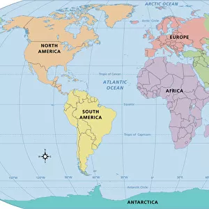
Postcard : Canada Map - illustration


![]()
Cards from Fine Art Storehouse
Canada Map - illustration
Colored Map of the Canada The urls of the reference files are (country, continent, world map and globe): http:/lib.utexas.edu/maps/americas/canada_pol99.jpg http:/lib.utexas.edu/maps/world_maps/time_zones_ref_2011.pdf http:/lib.utexas.edu/maps/americas/north_america_ref_2010.pdf. In addition - some region boundaries and city locations were taken from: http:/lib.utexas.edu/maps/united_states/usa_pol01.jpg http:/lib.utexas.edu/maps/americas/mexico_pol97.jpg http:/lib.utexas.edu/maps/americas/canada_pol_1986.gif - The illustration was completed January 10, 2016 and created in Corel Draw - 1 layer of data used for the detailed outline of the land
Unleash your creativity and transform your space into a visual masterpiece!
Media ID 14777519
Postcards (8 pack of A6)
Set of 8, A6 Postcards, featuring the same image on all cards in a set. Printed on 350gsm premium white satin card, the back of the postcard includes space to write messages and an area for the address and stamp. Size of each postcard is 15cm x 10.6cm.
Photo postcards are a great way to stay in touch with family and friends.
Estimated Product Size is 15cm x 10.6cm (5.9" x 4.2")
These are individually made so all sizes are approximate
Artwork printed orientated as per the preview above, with landscape (horizontal) or portrait (vertical) orientation to match the source image.
FEATURES IN THESE COLLECTIONS
> Fine Art Storehouse
> Map
> Map Illustrations
> Arts
> Photorealistic artworks
> Detailed art pieces
> Masterful detailing in art
> Europe
> France
> Canton
> Landes
> Maps and Charts
> Related Images
> Maps and Charts
> World
> North America
> Canada
> Maps
> North America
> Canada
> Related Images
EDITORS COMMENTS
This vibrant and detailed illustration of the Canada Map is a true masterpiece. Created in Corel Draw, this print showcases the beauty and diversity of Canada's vast landscapes. The colored map highlights the country's provinces and territories, providing an accurate representation of its geographical boundaries. The artist meticulously incorporated various reference files to ensure accuracy. The country, continent, world map, and globe were all used as references to capture every intricate detail. Additionally, region boundaries and city locations were taken from maps of the United States and Mexico. Completed on January 10,2016, this artwork demonstrates the artist's dedication to precision. With one layer of data used for the detailed outline of the land, it showcases their expertise in creating visually stunning illustrations. Whether you are a geography enthusiast or simply appreciate fine art prints that celebrate our beautiful planet, this Canada Map illustration is sure to captivate your attention. Hang it proudly on your wall as a reminder of Canada's diverse landscapes or gift it to someone who shares your love for exploration.
MADE IN THE UK
Safe Shipping with 30 Day Money Back Guarantee
FREE PERSONALISATION*
We are proud to offer a range of customisation features including Personalised Captions, Color Filters and Picture Zoom Tools
SECURE PAYMENTS
We happily accept a wide range of payment options so you can pay for the things you need in the way that is most convenient for you
* Options may vary by product and licensing agreement. Zoomed Pictures can be adjusted in the Basket.