Fraud Blocker Skip to main content

Photo Mug > Granger Art on Demand > Maps

Maps Photo Mug Collection

Choose a picture from our Maps Photo Mug Collection for your Wall Art and Photo Gifts

397 Photo Mugs

We are proud to offer this selection in partnership with Granger Art on Demand

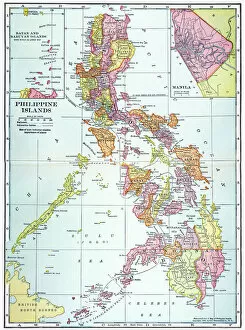
Background imageMaps Photo Mug Collection: MAP: PHILIPPINES, 1905. Map of the Philippine Islands printed in the United States in 1905

MAP: PHILIPPINES, 1905. Map of the Philippine Islands printed in the United States in 1905

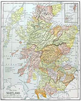
Background imageMaps Photo Mug Collection: MAP: SCOTLAND. Line engraving, 19th century

MAP: SCOTLAND. Line engraving, 19th century

Background imageMaps Photo Mug Collection: MAP: BRITISH EMPIRE, 1886. Map, 1886, of the British Empire by Walter Crane

MAP: BRITISH EMPIRE, 1886. Map, 1886, of the British Empire by Walter Crane. The small insert shows, in red, the extent of the British territories in 1786

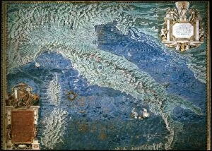
Background imageMaps Photo Mug Collection: MAP OF ITALY, c1585. By Ignazio Danti from Sistine Chapel Gallery of Maps

MAP OF ITALY, c1585. By Ignazio Danti from Sistine Chapel Gallery of Maps

Background imageMaps Photo Mug Collection: MAP: JAMAICA, 1893. British map of Jamaica by Colin Liddell, published 1893

MAP: JAMAICA, 1893. British map of Jamaica by Colin Liddell, published 1893

Background imageMaps Photo Mug Collection: MAP OF MACEDONIAN EMPIRE. Map of the Macedonian Empire following the conquests of Alexander

MAP OF MACEDONIAN EMPIRE. Map of the Macedonian Empire following the conquests of Alexander the Great, 4th century B.C

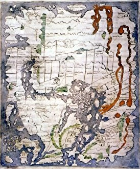
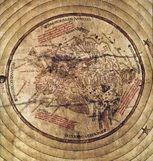
Background imageMaps Photo Mug Collection: WORLD MAP, 11th CENTURY. The Cottonian or Anglo-Saxon World Map

WORLD MAP, 11th CENTURY. The Cottonian or Anglo-Saxon World Map

Background imageMaps Photo Mug Collection: STRABO WORLD MAP, c20 A. D. According to the writings of the Greek geographer Strabo

STRABO WORLD MAP, c20 A. D. According to the writings of the Greek geographer Strabo
STRABO WORLD MAP, c20 A.D. According to the writings of the Greek geographer Strabo: a 19th century reconstruction

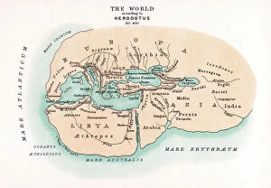
Background imageMaps Photo Mug Collection: WORLD MAP. Pre-Christian era, c450 B. C. according to the writings of Herodotus

WORLD MAP. Pre-Christian era, c450 B. C. according to the writings of Herodotus
WORLD MAP. Pre-Christian era, c450 B.C. according to the writings of Herodotus. A 19th century reconstruction

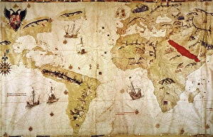
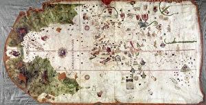
Background imageMaps Photo Mug Collection: VESPUCCIs WORLD MAP, 1526. Juan Vespuccis world map, 1526

VESPUCCIs WORLD MAP, 1526. Juan Vespuccis world map, 1526

Background imageMaps Photo Mug Collection: MAP: UNITED STATES, 1905. Map of the continental United States (excluding Alaska), 1905

MAP: UNITED STATES, 1905. Map of the continental United States (excluding Alaska), 1905

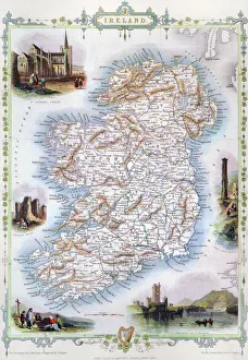
Background imageMaps Photo Mug Collection: MAP: IRELAND, 1851. An engraved map of Ireland, 1851

MAP: IRELAND, 1851. An engraved map of Ireland, 1851

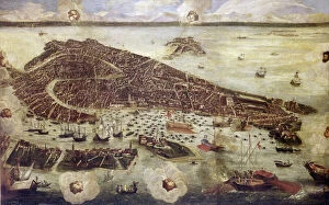
Background imageMaps Photo Mug Collection: VENICE: MAP, 17TH CENTURY. Map of Venice by Guiseppe Heintz, 17th century

VENICE: MAP, 17TH CENTURY. Map of Venice by Guiseppe Heintz, 17th century

Background imageMaps Photo Mug Collection: MAP OF FRANCE, c1900. With inset detail of Paris and surrounding area

MAP OF FRANCE, c1900. With inset detail of Paris and surrounding area

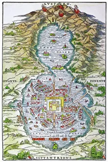
Background imageMaps Photo Mug Collection: TENOCHTITLAN (MEXICO CITY) at the time of the Spanish Conquest: colored woodcut, 1556

TENOCHTITLAN (MEXICO CITY) at the time of the Spanish Conquest: colored woodcut, 1556

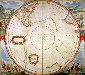
Background imageMaps Photo Mug Collection: MAP: ANTARTICA, 1647-62. Map of Antartica (Terra Australis Incognita)

MAP: ANTARTICA, 1647-62. Map of Antartica (Terra Australis Incognita) and surrounding areas from Jan Janssons " Novus Atlas" published, 1647-62, at Amsterdam

Background imageMaps Photo Mug Collection: WORLD MAP: 500 B. C. Map of the world, c500 B. C. according to the writings of Hecataeus of Miletus

WORLD MAP: 500 B. C. Map of the world, c500 B. C. according to the writings of Hecataeus of Miletus
WORLD MAP: 500 B.C. Map of the world, c500 B.C. according to the writings of Hecataeus of Miletus, the reputed author of Travels around the World: a 19th century reconstruction

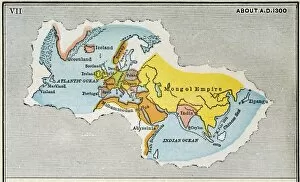
Background imageMaps Photo Mug Collection: WORLD MAP, c1300. Map, late 19th century, depicting the extent of knowledge of the worlds

WORLD MAP, c1300. Map, late 19th century, depicting the extent of knowledge of the worlds geography c1300, and including the route of Marco Polos return voyage from China in 1292

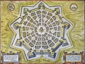
Background imageMaps Photo Mug Collection: Engraved map, 1598, of the heavily-fortified city of Palmanova, Italy

Engraved map, 1598, of the heavily-fortified city of Palmanova, Italy, built by the Venetians near the Adriatic to
ITALY: PALMANOVA MAP, 1598. Engraved map, 1598, of the heavily-fortified city of Palmanova, Italy, built by the Venetians near the Adriatic to prevent Turkish invasions

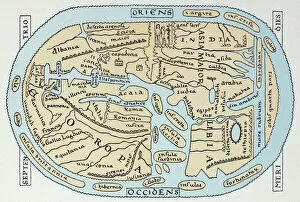
Background imageMaps Photo Mug Collection: WORLD MAP 2ND CENTURY. World map according to Roman geographers of the 2nd century A. D

WORLD MAP 2ND CENTURY. World map according to Roman geographers of the 2nd century A. D
WORLD MAP 2ND CENTURY. World map according to Roman geographers of the 2nd century A.D

Background imageMaps Photo Mug Collection: NINA: WORLD MAP, 1500. World map, 1500, of Juan de la Cosa, navigator on the Nina on Christopher

NINA: WORLD MAP, 1500. World map, 1500, of Juan de la Cosa, navigator on the Nina on Christopher Columbus second voyage of 1493-94

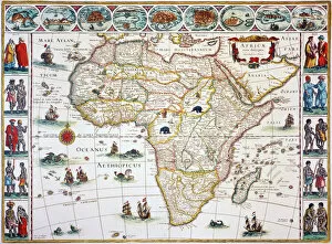
Background imageMaps Photo Mug Collection: MAP OF AFRICA, 1630. Willem Blaeus ornamental map of Africa Newly Described

MAP OF AFRICA, 1630. Willem Blaeus ornamental map of Africa Newly Described

Background imageMaps Photo Mug Collection: CONSTELLATION MAP. An Indian Sanskrit star map, 1840, ordered as a manuscript horoscope for Prince

CONSTELLATION MAP. An Indian Sanskrit star map, 1840, ordered as a manuscript horoscope for Prince Navanihal Singh

Background imageMaps Photo Mug Collection: WORLD MAP, c1490. Map of the world incorporating the discoveries of Bartholomeu Diaz in 1488

WORLD MAP, c1490. Map of the world incorporating the discoveries of Bartholomeu Diaz in 1488, but not those of Christopher Columbus

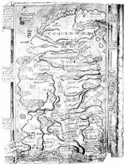
Background imageMaps Photo Mug Collection: MAP OF ENGLAND, c1250. One of the earliest detailed maps of Great Britain extant

MAP OF ENGLAND, c1250. One of the earliest detailed maps of Great Britain extant, drawn about 1250 A.D. by Matthew Paris, artist, historian and monk of St. Albans

Background imageMaps Photo Mug Collection: MAP OF COLONIAL AMERICA. Delisles map of colonial America, 1718, showing the Mississippi

MAP OF COLONIAL AMERICA. Delisles map of colonial America, 1718, showing the Mississippi valley in strikingly accurate detail and the first map to use Texas as a place-name

Background imageMaps Photo Mug Collection: CHINA: FUJIAN MAP, 1662. Engraved map of the province of Fujian, China

CHINA: FUJIAN MAP, 1662. Engraved map of the province of Fujian, China, also showing the Strait of Taiwan and part of Taiwan (Formosa) from Jan Blaeus Atlas Major published in Amsterdam in 1662

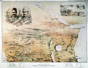
Background imageMaps Photo Mug Collection: AFRICA: MAP. Birds eye view of the Sudan and surrounding countries

AFRICA: MAP. Birds eye view of the Sudan and surrounding countries. English lithograph map, 1884, of north, central, and east Africa

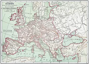
Background imageMaps Photo Mug Collection: MAP OF EUROPE, c1812. A 19th century German map of Europe during the reign of Napoleon I

MAP OF EUROPE, c1812. A 19th century German map of Europe during the reign of Napoleon I, c1812

Background imageMaps Photo Mug Collection: CIVIL WAR: ANACONDA PLAN. Scotts Great Snake or the Anaconda Plan

CIVIL WAR: ANACONDA PLAN. Scotts Great Snake or the Anaconda Plan: General Winfield Scotts plan to blockade the Confederacy and conduct a major offensive down the Mississippi River

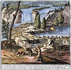
Background imageMaps Photo Mug Collection: NIAGARA FALLS: BEAVERS, 1715. Beavers at Niagara Falls. Detail from Molls Map of North America, 1715

NIAGARA FALLS: BEAVERS, 1715. Beavers at Niagara Falls. Detail from Molls Map of North America, 1715

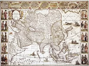
Background imageMaps Photo Mug Collection: ASIA: MAP, c1618. Engraved map of Asia published in Amsterdam by Willem Blaeu, circa 1618

ASIA: MAP, c1618. Engraved map of Asia published in Amsterdam by Willem Blaeu, circa 1618

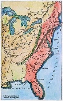
Background imageMaps Photo Mug Collection: COLONIAL AMERICA MAP. A map of the thirteen original American colonies, mid-18th century

COLONIAL AMERICA MAP. A map of the thirteen original American colonies, mid-18th century. Line engraving, late 19th century

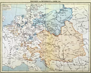
Background imageMaps Photo Mug Collection: AUSTRIAN EMPIRE MAP, 1795. Map of Prussia and the Austrian Empire as they appeared in the year 1795

AUSTRIAN EMPIRE MAP, 1795. Map of Prussia and the Austrian Empire as they appeared in the year 1795

Background imageMaps Photo Mug Collection: BRAZIL: MAP AND NATIVE INDIANS. Portuguese map of Brazil, 1565, depicting a family of native Indians

BRAZIL: MAP AND NATIVE INDIANS. Portuguese map of Brazil, 1565, depicting a family of native Indians, one of whom is harvesting brazilwood trees (probably Caesalpinia echinata or Sappan)

Background imageMaps Photo Mug Collection: WORLD MAP, 1641. Engraved map of the world by Henricus Hondius, 1641

WORLD MAP, 1641. Engraved map of the world by Henricus Hondius, 1641

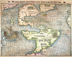
Background imageMaps Photo Mug Collection: MAP OF THE NEW WORLD, 1544. From Sebastian Munsters Cosmographia

MAP OF THE NEW WORLD, 1544. From Sebastian Munsters Cosmographia
MAP OF THE NEW WORLD, 1544. From Sebastian Munsters " Cosmographia."

Background imageMaps Photo Mug Collection: NEW ENGLAND MAP, c1775. Engraved map, c1775, of colonial New England

NEW ENGLAND MAP, c1775. Engraved map, c1775, of colonial New England, thought to be the last such map printed before the American Revolutionary War

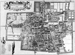
Background imageMaps Photo Mug Collection: THE HAGUE: MAP, c1650. Engraved map of the city of The Hague in the Netherlands, c1650

THE HAGUE: MAP, c1650. Engraved map of the city of The Hague in the Netherlands, c1650, showing canals, fields, gardens, plantations and windmills

Background imageMaps Photo Mug Collection: INDIA: MAP, 19th CENTURY. Map of India depicting the seven ethnological classifications developed

INDIA: MAP, 19th CENTURY. Map of India depicting the seven ethnological classifications developed by Sir Herbert Hope Risley (1851-1911)

Background imageMaps Photo Mug Collection: MAP OF EUROPE, 12th CENTURY. A 19th century map of Europe as it was politically constituted in

MAP OF EUROPE, 12th CENTURY. A 19th century map of Europe as it was politically constituted in the 12th century

Background imageMaps Photo Mug Collection: ANCIENT JERUSALEM. The ancient city of Jerusalem, with Solomons Temple in the center

ANCIENT JERUSALEM. The ancient city of Jerusalem, with Solomons Temple in the center. Lithograph, c1851

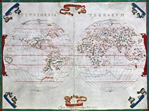
Background imageMaps Photo Mug Collection: WORLD MAP, 1587. Map of the world by Juan Martinez from Atlas Portulano, Madrid, 1587

WORLD MAP, 1587. Map of the world by Juan Martinez from Atlas Portulano, Madrid, 1587

Background imageMaps Photo Mug Collection: U. S. A. TIME ZONES MAP, 1883. An 1883 map of the United States showing the standard

U. S. A. TIME ZONES MAP, 1883. An 1883 map of the United States showing the standard
U.S.A. TIME ZONES MAP, 1883. An 1883 map of the United States showing the standard time zones adopted that year

Background imageMaps Photo Mug Collection: WORLD MAP, 1490s. World map, c1488-1493, showing the continents of Asia, Africa

WORLD MAP, 1490s. World map, c1488-1493, showing the continents of Asia, Africa and Europe

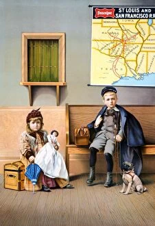
Background imageMaps Photo Mug Collection: American lithograph poster, 1898, for the St. Louis and San Francisco Railroad

American lithograph poster, 1898, for the St. Louis and San Francisco Railroad
RAILROAD POSTER, 1898. American lithograph poster, 1898, for the St. Louis and San Francisco Railroad

Background imageMaps Photo Mug Collection: THE LADRONE ISLANDS. Engraving of Antonio Pigafettas map of the Ladrone Islands discovered by

THE LADRONE ISLANDS. Engraving of Antonio Pigafettas map of the Ladrone Islands discovered by Ferdinand Magellan and his crew in 1521

Background imageMaps Photo Mug Collection: APIAN: WORLD MAP, 1530. Heart-shaped map of the world, with small portraits of Amerigo Vespucci

APIAN: WORLD MAP, 1530. Heart-shaped map of the world, with small portraits of Amerigo Vespucci (upper left) and Ptolemy (upper right) by Peter Apian, 1530


All Professionally Made to Order for Quick Shipping


-

Why Choose Us?

We are a leading provider of Art Prints and Photo Gifts since 2003, working in partnership with a range of Sporting Clubs, Charities, Museums and Picture Libraries. A large share of profits from any of their images will go directly towards supporting that charity or club. Our archive of images is carefully curated to bring you a wide range of subjects, including landscapes, wildlife, architecture, and more. We ship from our partner labs in the UK, USA, EU (Netherlands) and Australia.
+

How do I place an order?

Ordering is quick & easy - Just follow 5 Simple Steps:
  1. Find your image: Use our search box or browse our online photo Collections to find the image you want.

  2. Choose your print format: Select your desired product and add it to your cart.

  3. Enter your details: If you're a returning customer, simply enter your email address and password, and we'll fill in your billing and shipping address details. All personal details are held securely and are fully GDPR compliant. As standard, we remove all Personally Identifiable Information after 12 months.

  4. Pay for your purchase: We use state-of-the-art security for online shopping and do not have access to your card details.

  5. Sit back and relax: We'll email you confirmation of your order and when it's dispatched. Registered customers can also track orders in the 'My Account' area.

+

How do I pay for an order?

You can pay for your order with most of the major credit and debit cards, or PayPal. For added security, major financial institutions process payment details separately and securely on our behalf. We do not have access to your online payment card details. Online payments are preferred however we do take phone orders. For UK customers only we accept cheques issued against a UK bank.
+

Is my data safe?

We take data security very seriously. We do not have access to your full card details and all payments are requested over a fully secure connection. Additionally, we fully comply with current European and GDPR legislation, and automatically remove all personal data after at most 12 months (unless you have an account with us and have signed in recently). We also have a strict opt-in policy and would never sell your personal details. Your data is only used to fulfill your order promptly and efficiently.
+

Is wall art ready to hang?

For quick and easy installation all wall art, including framed prints, canvas prints and metal prints are supplied with a ready to hang solution on the back. Generally, saw tooth hangers are applied as they allow wall art to hang flush against the wall. The serrated edge of the hanger prevents the frame from shifting or tilting when hung.
+

Are the photo prints fade resistant?

Yes, we use archival quality photo paper photographic paper for vivid reproduction Prints are an accurate representations of the original artwork, which is preserved for artistic character and authenticity. We guarantee they match previews shown on our web site