
Maps Collection
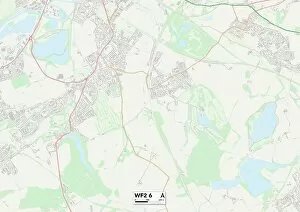
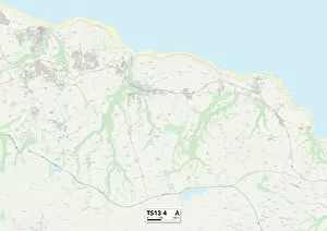
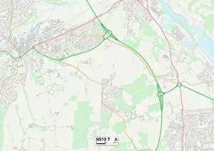
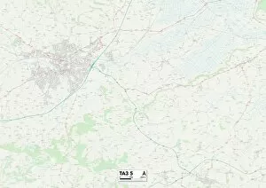
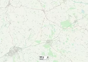
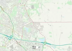
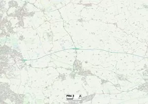
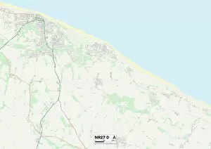
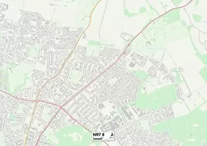
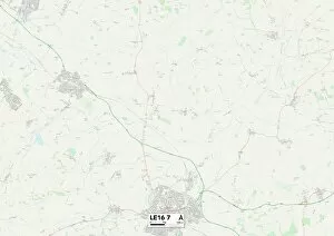
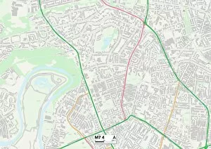
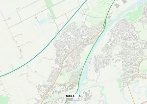
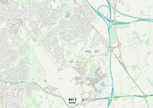
Maps of Saint Martin North America are a collection of detailed maps that show the geography and topography of the island
Choose a picture from our Maps Collection for your Wall Art and Photo Gifts
483 items


All Professionally Made to Order for Quick Shipping
-
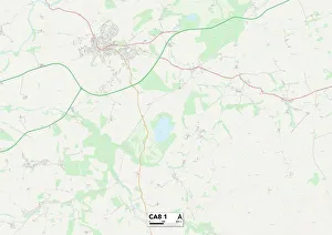
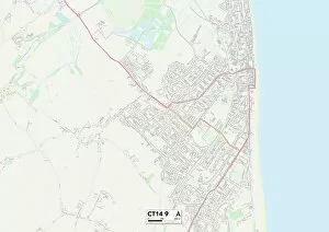
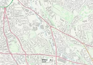
Maps Collection
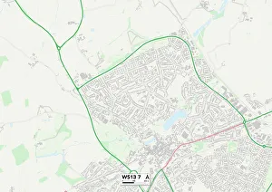
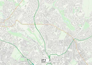
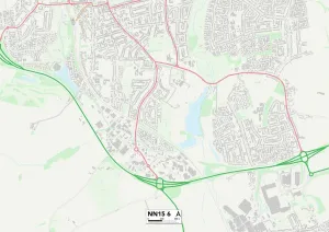
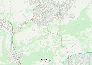
Maps of Saint Martin North America are a collection of detailed maps that show the geography and topography of the island. The maps provide an overview of the entire island, as well as detailed information about specific areas. They include roads, towns, villages, rivers, lakes and other geographical features. they also show points of interest such as beaches, restaurants and other attractions. Additionally they provide information on transportation routes and services available on the island. Maps of Saint Martin North America are a great tool for travelers looking to explore this beautiful Caribbean destination in detail.
+
Our beautiful pictures are available as Framed Prints, Photos, Wall Art and Photo Gifts
Media Storehouse offers a collection of Maps of Saint Martin North America, which includes wall art and framed prints. Our collection features various maps that showcase the geography, topography, and landmarks of Saint Martin in North America. These maps are sourced from reputable cartographers and publishers to ensure accuracy and quality. The Maps of Saint Martin North America collection is an excellent addition to any home decor. It provides a unique perspective on the island's history, culture, and natural beauty. Our collection also serves as an educational resource for students studying geography or history. Media Storehouse offers a range of sizes and framing options to suit different preferences and budgets. Customers can choose from canvas prints, fine art paper prints, or mounted prints with various frame styles such as black wood frames or white wooden frames. The Maps of Saint Martin North America collection by Media Storehouse is a must-have for anyone interested in exploring this beautiful island's rich heritage visually.
+
What are Maps of Saint Martin North America art prints?
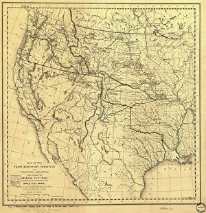
Maps of Saint Martin North America art prints are high-quality reproductions of vintage maps that depict the island of Saint Martin in the Caribbean. These maps showcase the geography, topography, and landmarks of this beautiful island, which is divided between two countries: France and the Netherlands. These art prints are perfect for those who love history, geography or travel. They can be used to decorate homes, offices or classrooms with a unique touch. The Maps of Saint Martin North America art prints come in various sizes and styles to suit different preferences. The We offer a wide selection of these art prints from reputable sources around the world. They use only premium quality materials to ensure that each print is vibrant and long-lasting. Whether you're looking for a gift for someone special or want to add some character to your own space, Maps of Saint Martin North America art prints are an excellent choice.
+
What Maps of Saint Martin North America art prints can I buy from Media Storehouse?
We offer a wide range of Maps of Saint Martin North America art prints that you can buy. These maps are available in various sizes and styles, including vintage, antique, and modern designs. You can choose from different types of maps such as topographical, political, physical or satellite imagery. The collection includes detailed maps that showcase the geography and landscape of Saint Martin North America. Some prints also feature historical landmarks and important locations on the island. In addition to traditional paper prints, Media Storehouse also offers canvas prints for a more contemporary look. The canvas material adds texture to your print while providing durability against fading and wear-and-tear. Whether you're looking for a decorative piece for your home or office or an educational tool for students studying geography or history, we have something to offer with their vast selection of Maps of Saint Martin North America art prints.
+
How do I buy Maps of Saint Martin North America art prints?
To buy Maps of Saint Martin North America art prints from Media Storehouse, you can browse our extensive collection online. We offer a wide range of maps depicting different areas and regions of Saint Martin in North America. Once you have found the map that you like, simply add it to your cart and proceed to checkout. During the checkout process, you will be prompted to enter your shipping and payment information. You can choose from various payment options such as credit card or PayPal. After completing the purchase, your order will be processed and shipped out to you. We offer high-quality art prints that are perfect for decorating any space in your home or office. Their maps are printed on premium paper using state-of-the-art printing technology, ensuring that they look stunning and vibrant for years to come. Whether you're a collector or just looking for a unique piece of wall art, we have something for everyone.
+
How much do Maps of Saint Martin North America art prints cost?
The cost of Maps of Saint Martin North America art prints varies depending on the size and type of print. There are a range of options available, from smaller standard prints to larger canvas or framed prints. The price will also depend on whether you choose a basic paper print or upgrade to a higher quality material such as fine art paper. Additionally, some prints may come with added features such as matting or framing which can increase the overall cost. It is important to note that while prices may vary, all Maps of Saint Martin North America art prints sold through Media Storehouse are high-quality reproductions created using state-of-the-art printing technology. Each print captures the intricate details and beauty of this stunning location in vivid color and detail. Whether you're looking for a small memento or a large statement piece for your home or office, there's sure to be an option that fits your budget and style preferences among our selection of Maps of Saint Martin North America art prints.
+
How will my Maps of Saint Martin North America art prints be delivered to me?
Your Maps of Saint Martin North America art prints will be delivered to you in a safe and secure manner. The delivery process is handled by our trusted partners who ensure that your order reaches you without any damage or delay. We use high-quality packaging materials to protect the prints from any external factors during transit. The delivery options available for your order may vary depending on your location, but we offer standard and express shipping services to most destinations worldwide. You can track the status of your shipment using the tracking number provided once your order has been dispatched. We take pride in providing excellent customer service, so if you have any questions or concerns about the delivery of your Maps of Saint Martin North America art prints, please do not hesitate to contact us. Our team is always ready to assist you with anything related to your purchase experience with us.