Fraud Blocker Skip to main content

Stoney Lane Collection

Stoney Lane: A Journey Through Picturesque Landscapes Embark on a visual journey through the enchanting Stoney Lane

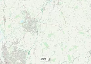
Background imageStoney Lane Collection: Wychavon WR9 7 Map

Wychavon WR9 7 Map
Postcode Sector Map of Wychavon WR9 7

Background imageStoney Lane Collection: Somerset TA19 0 Map

Somerset TA19 0 Map
Postcode Sector Map of Somerset TA19 0

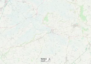
Background imageStoney Lane Collection: Somerset TA10 0 Map

Somerset TA10 0 Map
Postcode Sector Map of Somerset TA10 0

Background imageStoney Lane Collection: Wiltshire SN15 2 Map

Wiltshire SN15 2 Map
Postcode Sector Map of Wiltshire SN15 2

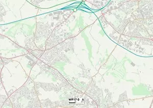
Background imageStoney Lane Collection: Kirklees WF17 0 Map

Kirklees WF17 0 Map
Postcode Sector Map of Kirklees WF17 0

Background imageStoney Lane Collection: Fylde PR3 2 Map

Fylde PR3 2 Map
Postcode Sector Map of Fylde PR3 2

Background imageStoney Lane Collection: Sussex PO20 7 Map

Sussex PO20 7 Map
Postcode Sector Map of Sussex PO20 7

Background imageStoney Lane Collection: Leeds LS14 3 Map

Leeds LS14 3 Map
Postcode Sector Map of Leeds LS14 3

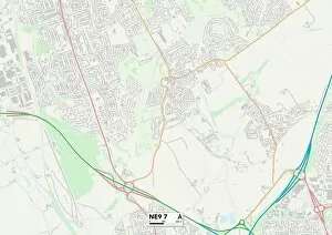
Background imageStoney Lane Collection: Gateshead NE9 7 Map

Gateshead NE9 7 Map
Postcode Sector Map of Gateshead NE9 7

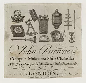
Background imageStoney Lane Collection: Ship chandlers, John Browne, trade card (engraving)

Ship chandlers, John Browne, trade card (engraving)
983992 Ship chandlers, John Browne, trade card (engraving) by English School, (19th century); Private Collection; (add.info.: Ship chandlers, John Browne)

Background imageStoney Lane Collection: Dick Turpins cottage, front view. Thaxted, Essex. 14th July 1946

Dick Turpins cottage, front view. Thaxted, Essex. 14th July 1946

Background imageStoney Lane Collection: Wakefield WF4 3 Map

Wakefield WF4 3 Map
Postcode Sector Map of Wakefield WF4 3

Background imageStoney Lane Collection: Leeds WF3 2 Map

Leeds WF3 2 Map
Postcode Sector Map of Leeds WF3 2

Background imageStoney Lane Collection: Dacorum WD4 9 Map

Dacorum WD4 9 Map
Postcode Sector Map of Dacorum WD4 9

Background imageStoney Lane Collection: Wigan WN6 9 Map

Wigan WN6 9 Map
Postcode Sector Map of Wigan WN6 9

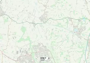
Background imageStoney Lane Collection: West Lancashire WN8 7 Map

West Lancashire WN8 7 Map
Postcode Sector Map of West Lancashire WN8 7

Background imageStoney Lane Collection: Staffordshire ST19 9 Map

Staffordshire ST19 9 Map
Postcode Sector Map of Staffordshire ST19 9

Background imageStoney Lane Collection: Staffordshire ST18 9 Map

Staffordshire ST18 9 Map
Postcode Sector Map of Staffordshire ST18 9

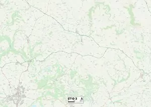
Background imageStoney Lane Collection: Staffordshire ST10 3 Map

Staffordshire ST10 3 Map
Postcode Sector Map of Staffordshire ST10 3

Background imageStoney Lane Collection: Croydon SE19 2 Map

Croydon SE19 2 Map
Postcode Sector Map of Croydon SE19 2

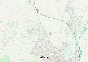
Background imageStoney Lane Collection: Winchester SO22 6 Map

Winchester SO22 6 Map
Postcode Sector Map of Winchester SO22 6

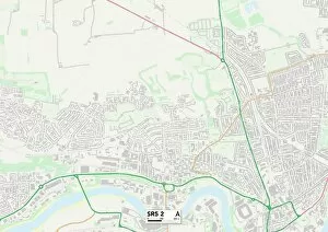
Background imageStoney Lane Collection: Sunderland SR5 2 Map

Sunderland SR5 2 Map
Postcode Sector Map of Sunderland SR5 2

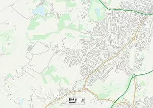
Background imageStoney Lane Collection: Cheshire East SK9 6 Map

Cheshire East SK9 6 Map
Postcode Sector Map of Cheshire East SK9 6

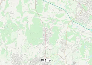
Background imageStoney Lane Collection: South Buckinghamshire SL2 3 Map

South Buckinghamshire SL2 3 Map
Postcode Sector Map of South Buckinghamshire SL2 3

Background imageStoney Lane Collection: Berkshire RG14 2 Map

Berkshire RG14 2 Map
Postcode Sector Map of Berkshire RG14 2

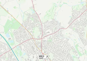
Background imageStoney Lane Collection: Walsall WS3 3 Map

Walsall WS3 3 Map
Postcode Sector Map of Walsall WS3 3

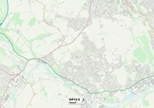
Background imageStoney Lane Collection: Kirklees WF14 0 Map

Kirklees WF14 0 Map
Postcode Sector Map of Kirklees WF14 0

Background imageStoney Lane Collection: Berkshire RG19 4 Map

Berkshire RG19 4 Map
Postcode Sector Map of Berkshire RG19 4

Background imageStoney Lane Collection: West Berkshire RG18 9 Map

West Berkshire RG18 9 Map
Postcode Sector Map of West Berkshire RG18 9

Background imageStoney Lane Collection: Mid Sussex RH17 6 Map

Mid Sussex RH17 6 Map
Postcode Sector Map of Mid Sussex RH17 6

Background imageStoney Lane Collection: Staffordshire ST9 9 Map

Staffordshire ST9 9 Map
Postcode Sector Map of Staffordshire ST9 9

Background imageStoney Lane Collection: Chesterfield S42 6 Map

Chesterfield S42 6 Map
Postcode Sector Map of Chesterfield S42 6

Background imageStoney Lane Collection: South Oxfordshire OX44 7 Map

South Oxfordshire OX44 7 Map
Postcode Sector Map of South Oxfordshire OX44 7

Background imageStoney Lane Collection: Cornwall PL26 7 Map

Cornwall PL26 7 Map
Postcode Sector Map of Cornwall PL26 7

Background imageStoney Lane Collection: Cornwall PL25 5 Map

Cornwall PL25 5 Map
Postcode Sector Map of Cornwall PL25 5

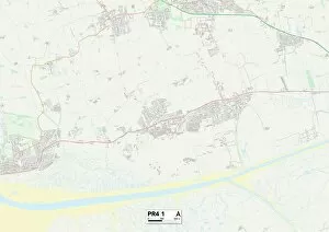
Background imageStoney Lane Collection: Fylde PR4 1 Map

Fylde PR4 1 Map
Postcode Sector Map of Fylde PR4 1

Background imageStoney Lane Collection: South Ribble PR5 6 Map

South Ribble PR5 6 Map
Postcode Sector Map of South Ribble PR5 6

Background imageStoney Lane Collection: South Ribble PR5 5 Map

South Ribble PR5 5 Map
Postcode Sector Map of South Ribble PR5 5

Background imageStoney Lane Collection: Chorley PR7 4 Map

Chorley PR7 4 Map
Postcode Sector Map of Chorley PR7 4

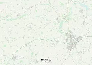
Background imageStoney Lane Collection: Norfolk NR19 2 Map

Norfolk NR19 2 Map
Postcode Sector Map of Norfolk NR19 2

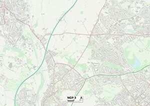
Background imageStoney Lane Collection: Broxtowe NG9 3 Map

Broxtowe NG9 3 Map
Postcode Sector Map of Broxtowe NG9 3

Background imageStoney Lane Collection: Broxtowe NG16 5 Map

Broxtowe NG16 5 Map
Postcode Sector Map of Broxtowe NG16 5

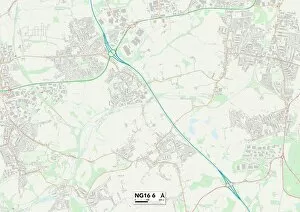
Background imageStoney Lane Collection: Broxtowe NG16 6 Map

Broxtowe NG16 6 Map
Postcode Sector Map of Broxtowe NG16 6

Background imageStoney Lane Collection: Knowsley L35 9 Map

Knowsley L35 9 Map
Postcode Sector Map of Knowsley L35 9

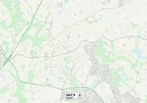
Background imageStoney Lane Collection: Leicester LE67 8 Map

Leicester LE67 8 Map
Postcode Sector Map of Leicester LE67 8

Background imageStoney Lane Collection: Leicester LE67 9 Map

Leicester LE67 9 Map
Postcode Sector Map of Leicester LE67 9

Background imageStoney Lane Collection: Leeds LS18 4 Map

Leeds LS18 4 Map
Postcode Sector Map of Leeds LS18 4

Background imageStoney Lane Collection: Bradford LS29 7 Map

Bradford LS29 7 Map
Postcode Sector Map of Bradford LS29 7


All Professionally Made to Order for Quick Shipping

Stoney Lane: A Journey Through Picturesque Landscapes Embark on a visual journey through the enchanting Stoney Lane, a place that encapsulates the beauty and diversity of the British countryside. Nestled in various locations across Wychavon, Somerset, Wiltshire, Kirklees, Fylde, Sussex, Gateshead, Wakefield, Leeds and Dacorum; Stoney Lane offers breathtaking views that will leave you awe-inspired. Starting with Wychavon WR9 7 Map and Somerset TA19 0 Map; these areas boast rolling hills dotted with charming cottages. As you explore further into Somerset TA10 0 Map and Wiltshire SN15 2 Map; picturesque villages come to life with their quaint architecture and idyllic landscapes. The tranquility of these places is truly unmatched. Moving on to Kirklees WF17 0 Map and Fylde PR3 2 Map; Stoney Lane takes us to more rural settings where vast fields stretch as far as the eye can see. These areas are perfect for those seeking solace amidst nature's embrace. As we venture towards Sussex PO20 7 Map and Gateshead NE9 7 Map; coastal scenes unfold before our eyes. Sandy beaches meet crashing waves in Sussex while rugged cliffs stand tall against the mighty North Sea in Gateshead - both offering an escape from everyday life. Intriguingly enough, hidden within this scenic landscape lies Ship chandlers John Browne's trade card (engraving). This historical artifact serves as a reminder of Stoney Lane's rich maritime heritage - a testament to its connection with seafaring adventures. Continuing our exploration towards Wakefield WF4 3Map and Leeds WF3 2Map; urban charm blends seamlessly with natural beauty. Bustling city streets give way to serene parks where one can find respite from the hustle and bustle of city life.