Finland Collection (page 3)
Finland is a country located in northern Europe, bordered by Sweden, Norway
118 items
All Professionally Made to Order for Quick Shipping
-
Finland Collection
Finland is a country located in northern Europe, bordered by Sweden, Norway, and Russia and has a population of approximately 5.5 million people and covers an area of 338,000 square kilometers. The capital city is Helsinki, which is also the largest city in the country. A highly developed economy that relies heavily on exports of technology products such as mobile phones and electronics. The country's education system is considered one of the best in the world with free education for all citizens from primary to tertiary level. Finland boasts beautiful natural landscapes including forests, lakes and islands making it popular among tourists seeking outdoor activities such as hiking or skiing during winter months.
+
Our beautiful Wall Art and Photo Gifts include Framed Prints, Photo Prints, Poster Prints, Canvas Prints, Jigsaw Puzzles, Metal Prints and so much more
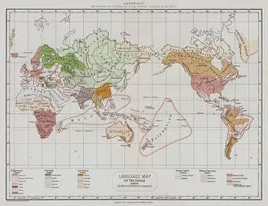
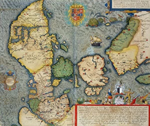
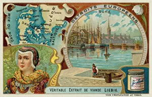
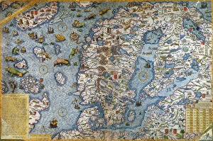
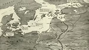
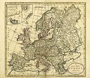
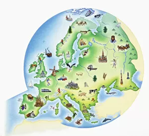
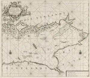
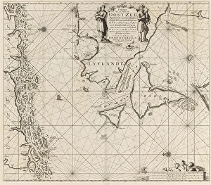
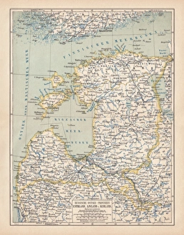
The Finland collection from Media Storehouse is a stunning compilation of wall art and framed prints that showcase the beauty, history, and geography of Finland. Our collection features an array of maps and charts that depict various aspects of the country, including its topography, cities, regions, lakes, rivers, forests, and more. Each print in our collection is carefully crafted with high-quality materials to ensure longevity and durability. The prints are available in different sizes to suit individual preferences and can be customized with frames or mounts for added elegance. Whether you're looking to decorate your home or office space or seeking unique gifts for friends or family members who love Finland's culture and heritage, our collection has something for everyone. With its rich colors, intricate details, and captivating imagery of Finland's landscapes and landmarks - from Helsinki to Lapland - our collection is sure to impress any art enthusiast or nature lover.
+
What are Finland (Maps and Charts) art prints?
Finland art prints are a collection of high-quality, visually stunning prints that showcase the geography and topography of Finland. These prints feature detailed maps and charts that highlight the country's diverse landscapes, from its rugged coastline to its vast forests and lakes. They are perfect for anyone who loves exploring new places or has an interest in geography. The Finland art prints come in a variety of sizes, making them suitable for any space. Whether you're looking to add some color to your living room or want to create a focal point in your office, these prints will make a great addition to any decor. Each print is produced using state-of-the-art printing technology, ensuring that every detail is captured with precision. The result is a beautiful, high-quality print that will last for years to come. So if you're looking for a unique way to showcase your love for Finland or simply want to add some visual interest to your home or office, consider investing in one of these stunning art prints today.
+
What Finland (Maps and Charts) art prints can I buy from Media Storehouse?
We offer a wide range of Finland Maps and Charts art prints that you can purchase. These prints showcase the beauty and diversity of Finland's landscapes, cities, and regions. You can choose from an array of options such as vintage maps, topographic maps, satellite imagery, cityscapes, and more. Some popular choices include Helsinki cityscape at sunset or in winter snowfall; Lapland region with its stunning aurora borealis displays; Turku archipelago with its picturesque islands dotted around the Baltic Sea; Oulanka National Park with its rugged terrain and waterfalls; Finnish Lakeland area with its thousands of lakes interconnected by rivers. These art prints are perfect for adding a touch of Nordic charm to your home decor or office space. They also make great gifts for anyone who loves travel or has a special connection to Finland. With our extensive collection, you're sure to find the perfect print that captures your imagination.
+
How do I buy Finland (Maps and Charts) art prints?
To buy Finland art prints from Media Storehouse, you can browse our extensive collection of artwork online. Simply search for "Finland Maps and Charts" in the search bar on our website to find a variety of options. Once you have found a print that you like, select the size and framing options that suit your preferences. You can choose from a range of materials including canvas, paper or metal prints. You will also be able to select different finishes such as matte or glossy depending on your preference. We offer secure payment methods so you can purchase your chosen print with confidence. We also offer international shipping so no matter where you are located, you can enjoy beautiful artwork inspired by Finland's maps and charts. Whether it's for personal use or as a gift for someone special, buying Finland art prints from Media Storehouse is easy and convenient.
+
How much do Finland (Maps and Charts) art prints cost?
We offer a wide range of Finland Maps and Charts art prints for purchase. Our prices vary depending on the size and type of print you choose. We have options ranging from small posters to large canvas prints, so there is something for every budget. Our Finland Maps and Charts art prints are high-quality reproductions that capture the beauty and detail of these historic maps. They make great additions to any home or office decor, adding a touch of sophistication and elegance. Whether you're looking for a vintage map of Helsinki or an antique chart of the Finnish coastline, we have something to suit your needs. Our selection includes both black-and-white and color prints, so you can choose the style that best fits your taste. Our Finland Maps and Charts art prints are competitively priced while still maintaining their quality standards.
+
How will my Finland (Maps and Charts) art prints be delivered to me?
We take great care in ensuring that your Finland art prints are delivered to you safely and securely. Once you have placed your order with us, our team of experts will carefully package your print using high-quality materials to protect it during transit. We offer a range of delivery options to suit your needs, including standard shipping and express delivery for those who need their prints sooner. Our delivery partners are reliable and efficient, ensuring that your print arrives at its destination on time and in perfect condition. Whether you're ordering a single print or multiple pieces for a larger project, we pride ourselves on providing excellent customer service throughout the entire process. If you have any questions about how your Finland art prints will be delivered to you, please don't hesitate to get in touch with our friendly team who will be happy to help.


