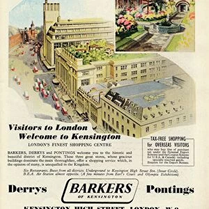
Home > Europe > United Kingdom > England > London > Sights > Kensington Gardens
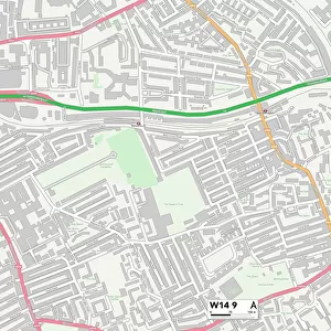
Kensington and Chelsea W10 6 Map

![]()
Wall Art and Photo Gifts from Map Marketing
Kensington and Chelsea W10 6 Map
Postcode Sector Map of Kensington and Chelsea W10 6
Media ID 19982788
Balliol Road Bassett Road Blake Close Bramley Road Bridge Close Bruce Close Cambridge Gardens Chesterton Road Hill Farm Road Kensington And Chelsea Kingsbridge Road Kingsdown Close Ladbroke Grove Latimer Road Malton Road Nursery Lane Oxford Gardens St Andrews Square St Marks Road Westview Close Westway North Kensington
FEATURES IN THESE COLLECTIONS
> Arts
> Artists
> B
> Charles Bruce
> Arts
> Portraits
> Pop art gallery
> Street art portraits
> Europe
> United Kingdom
> England
> London
> Sights
> Kensington Gardens
> Europe
> United Kingdom
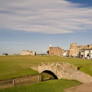
> Scotland
> Fife
> St Andrews
> Map Marketing
> Postcode Sector Maps
> W - London W
> Maps and Charts
> Related Images
MADE IN THE UK
Safe Shipping with 30 Day Money Back Guarantee
FREE PERSONALISATION*
We are proud to offer a range of customisation features including Personalised Captions, Color Filters and Picture Zoom Tools
SECURE PAYMENTS
We happily accept a wide range of payment options so you can pay for the things you need in the way that is most convenient for you
* Options may vary by product and licensing agreement. Zoomed Pictures can be adjusted in the Basket.