Home > Europe > United Kingdom > England > London > Boroughs > Harrow
Chelmsford CM2 7 Map

![]()
Wall Art and Photo Gifts from Map Marketing
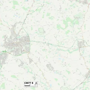
Chelmsford CM2 7 Map
Postcode Sector Map of Chelmsford CM2 7
Media ID 19966972
Barclay Close Barrington Close Bell Street Blind Lane Brick Kiln Road Brook Lane Brook View Canford Close Chelmsford Church Street Crescent Road Foxholes Road Friars Close Hall Close Hall Lane Harrow Way High Street Johnson Road Langdale Gardens Lodge Avenue Longfield Road Maldon Road Manor Drive Mercia Close New Road Newport Close North Drive Seabrook Road Southend Road Stuart Close The Causeway The Chase The Dell The Old Orchard The Spires Whitehouse Crescent Woodhill Road Sandon
FEATURES IN THESE COLLECTIONS
> Arts
> Artists
> J
> Gerard Johnson
> Arts
> Artists
> P
> Linton Park
> Arts
> Portraits
> Pop art gallery
> Street art portraits
> Europe
> United Kingdom
> England
> Herefordshire
> Maps
> Europe
> United Kingdom
> England
> London
> Boroughs
> Harrow
> Europe
> United Kingdom
> Wales
> Flintshire
> Buckley
> Europe
> United Kingdom
> Wales
> Gwent
> Newport
> Europe
> United Kingdom
> Wales
> Pembrokeshire
> Newport
> Map Marketing
> Postcode Sector Maps
> CM - Chelmsford
> Maps and Charts
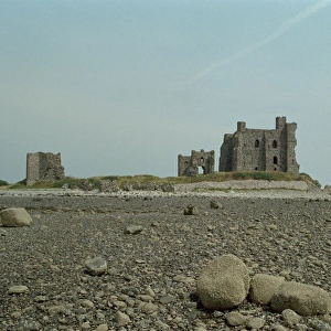
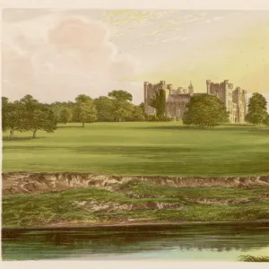
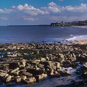
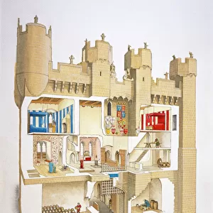
> Related Images
MADE IN THE UK
Safe Shipping with 30 Day Money Back Guarantee
FREE PERSONALISATION*
We are proud to offer a range of customisation features including Personalised Captions, Color Filters and Picture Zoom Tools
SECURE PAYMENTS
We happily accept a wide range of payment options so you can pay for the things you need in the way that is most convenient for you
* Options may vary by product and licensing agreement. Zoomed Pictures can be adjusted in the Basket.