
Blind Lane Collection
"Exploring the Unseen: Journey through Blind Lane" Embark on a captivating adventure as we navigate through the mysterious and enchanting Blind Lane


All Professionally Made to Order for Quick Shipping
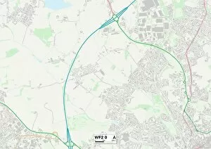
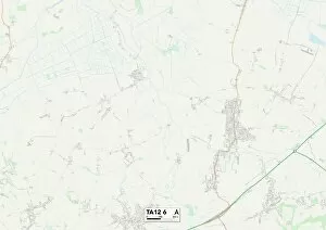
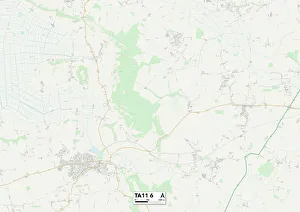
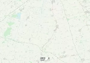
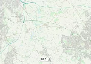
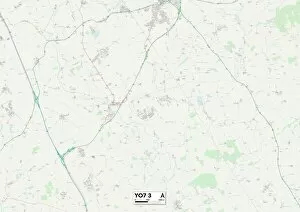
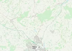
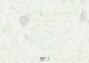
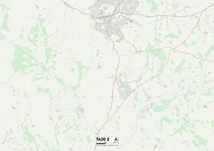
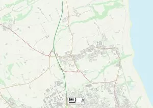
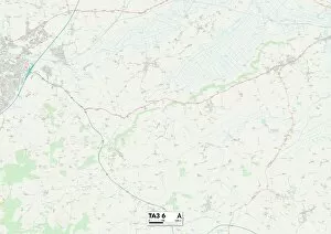
"Exploring the Unseen: Journey through Blind Lane" Embark on a captivating adventure as we navigate through the mysterious and enchanting Blind Lane. This hidden gem takes us on a thrilling ride, unveiling its secrets one map at a time. Starting in Wakefield WF2 0, our first stop immerses us in the charm of Somerset TA12 The picturesque landscapes and winding paths guide us towards Sunderland SR3 1, where history whispers from every corner. As we continue our expedition to Lincoln LN5 0, ancient tales intertwine with modern marvels, creating an intriguing tapestry. Next up is Coventry CV7 7 - a city that seamlessly blends tradition and innovation. Its vibrant energy fuels our curiosity as we venture further into Maldon CM9 6, where nature's beauty reigns supreme. Leeds WF3 2 beckons with its bustling streets and cultural delights, leaving an indelible mark on our journey. The scenic North Yorkshire YO7 3 captivates us with its rolling hills and quaint villages; it's like stepping into a storybook world. Redcar & Cleveland TS14 8 offers coastal wonders that soothe the soul while Ashford TN25 7 invites exploration amidst idyllic surroundings. Intrigue deepens as we delve into Ashford TN25 4 – an enigmatic destination brimming with untold stories waiting to be discovered. Finally, Eastleigh SO32 2 unveils its treasures against a backdrop of natural splendor; here lies tranquility at its finest. Blind Lane unravels before our eyes like pages of an ancient manuscript – each location marked by unique experiences etched forever in memory. So let your senses guide you along this extraordinary path; embrace the unknown and uncover the magic within Blind Lane.