Home > Europe > United Kingdom > Scotland > Strathclyde > Hamilton
Ashfield NG17 5 Map

![]()
Wall Art and Photo Gifts from Map Marketing
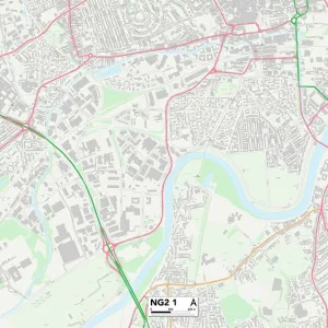
Ashfield NG17 5 Map
Postcode Sector Map of Ashfield NG17 5
Media ID 19974466
Ashfield Ashwood Close Ashwood Grove Bank Avenue Buckland Close Clare Road Coronation Street Dukes Close Farndon Road Glamis Close Hamilton Road Hardwick Lane Hardwick Street Henry Street Junction Road Kirkland Close Lansbury Road Lawn Avenue Leamington Drive Leander Close Leopold Street Midland Road Newark Road Ng17 Norman Avenue Oaktree Close Orchid Drive Pepper Street Primrose Court Reform Street Roundhill Close Sheepwash Lane Shepherds Way Sherwood Road Silk Street Station Road Stuart Street Sutton Road Taylor Crescent The Orchard Thornton Street Tudor Street Union Street Weston Close Willow Gardens Windmill Close
FEATURES IN THESE COLLECTIONS
> Animals
> Mammals
> Soricidae
> Leander
> Arts
> Artists
> H
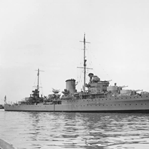
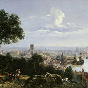
> William Hamilton
> Arts
> Artists
> J
> William James
> Arts
> Artists
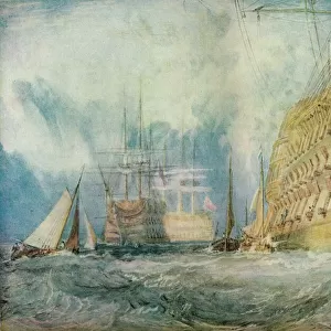
> William Turner
> Arts
> Artists
> Y
> Art Young
> Arts
> Portraits
> Pop art gallery
> Street art portraits
> Europe
> United Kingdom
> Scotland
> Strathclyde
> Hamilton
> Map Marketing
> Postcode Sector Maps
> NG - Nottingham
> Map Marketing
> UK Maps
> Maps and Charts
> Related Images
MADE IN THE UK
Safe Shipping with 30 Day Money Back Guarantee
FREE PERSONALISATION*
We are proud to offer a range of customisation features including Personalised Captions, Color Filters and Picture Zoom Tools
SECURE PAYMENTS
We happily accept a wide range of payment options so you can pay for the things you need in the way that is most convenient for you
* Options may vary by product and licensing agreement. Zoomed Pictures can be adjusted in the Basket.