
Norman Avenue Collection
"Exploring the Diversity of Norman Avenue: From Sunderland to Stockport" Norman Avenue, a name that resonates across various locations in the UK


All Professionally Made to Order for Quick Shipping
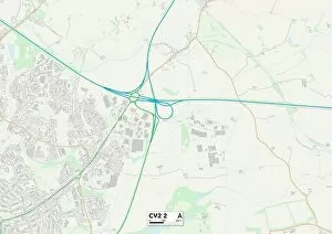
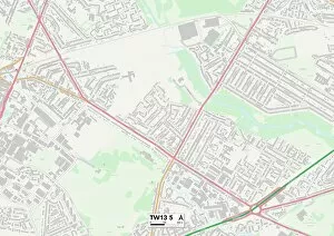
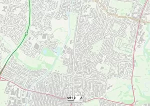
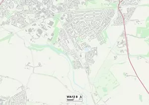
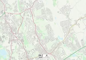
"Exploring the Diversity of Norman Avenue: From Sunderland to Stockport" Norman Avenue, a name that resonates across various locations in the UK, offers a fascinating glimpse into the diverse landscapes and communities it traverses. Starting in Sunderland's SR3 2 Map area, this avenue sets off on an intriguing journey. As we move southward, our next stop is Coventry's CV2 2 Map region. Here, Norman Avenue intertwines with bustling streets and vibrant neighborhoods, showcasing the city's rich history and cultural heritage. Zooming out to world maps reveals another facet of Norman Avenue's reach. In Birmingham (B32 2), this street connects different corners of the city like threads weaving through fabric. It unites communities and fosters connections amidst its urban landscape. Heading towards Hounslow (TW13 5 Map) and Ealing (UB1 2 Map), Norman Avenue takes us through London's dynamic tapestry. These areas showcase a blend of traditional charm and modern vibrancy as they welcome people from all walks of life. Venturing further southwards brings us to South Oxfordshire (RG9 1 Map). Nestled within picturesque surroundings, Norman Avenue here exudes tranquility while serving as a gateway to explore nature's wonders nearby. Continuing westward leads us to Richmond upon Thames (TW1 2 Map), where Norman Avenue gracefully winds along riverside paths dotted with historic landmarks. This area epitomizes elegance and sophistication at every turn. Moving northwards again brings us back to St. Helens' WA12 8 Map region before branching into WA11 0 Map territory. Here, residents experience the unique fusion of industrial heritage with contemporary living – a testament to resilience and adaptation over time. Further north lies Staffordshire (ST6 7 Map), where Norman Avenue showcases rural beauty amid charming countryside vistas. The tranquil ambiance invites visitors to pause for reflection amidst nature's embrace.