Jigsaw Puzzle > Europe > France > Heritage Sites > Lagoons of New Caledonia: Reef
Jigsaw Puzzle : Map of New Caledonia and the Loyalty Islands, published 1897
![]()

Jigsaw Puzzles from Fine Art Storehouse
Map of New Caledonia and the Loyalty Islands, published 1897
Map of New Caledonia and the Loyalty Islands (belonging to France). Wood engraving, published in 1897
Unleash your creativity and transform your space into a visual masterpiece!
ZU_09
Media ID 18106669
Jigsaw Puzzle (500 Pieces)
Discover the rich history of New Caledonia and the Loyalty Islands with our beautifully detailed jigsaw puzzle from the Media Storehouse range. This captivating puzzle features an intricately engraved map published in 1897, showcasing the islands' geography during a significant historical period. Ideal for puzzle enthusiasts and history buffs alike, this challenging puzzle invites you on a journey of exploration and learning. Immerse yourself in the intricacies of this vintage map and bring a piece of the past into your home.
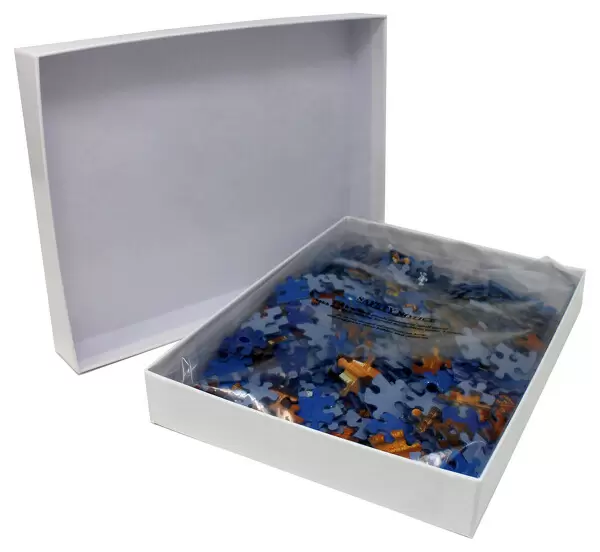
500 piece puzzles are custom made in the UK and hand-finished on 100% recycled 1.5 mm millboard. There is a level of repetition in jigsaw shapes with each matching piece away from its pair. The completed puzzle measures 38x50cm and is delivered packaged in an attractive presentation box specially designed to fit most letter box slots
Jigsaw Puzzles are an ideal gift for any occasion
Estimated Product Size is 50.2cm x 38cm (19.8" x 15")
These are individually made so all sizes are approximate
Artwork printed orientated as per the preview above, with landscape (horizontal) or portrait (vertical) orientation to match the source image.
FEATURES IN THESE COLLECTIONS
> Fine Art Storehouse
> Map
> Historical Maps
> Europe
> France
> Heritage Sites
> Lagoons of New Caledonia: Reef
> Maps and Charts
> Related Images
EDITORS COMMENTS
This print showcases a remarkable piece of history - the "Map of New Caledonia and the Loyalty Islands, published in 1897". Crafted with intricate detail, this wood engraving offers a glimpse into the past, revealing the geographical layout of these French territories. The map takes us on a visual journey through New Caledonia and its surrounding Loyalty Islands, transporting us to an era long gone. With delicate lines etched onto paper, it highlights every contour and feature of this Pacific paradise. From rugged coastlines to lush forests, from winding rivers to majestic mountains, each element is meticulously depicted. As we gaze upon this vintage artwork, we can't help but marvel at its historical significance. It serves as a window into an age when cartography was both artistry and science - when explorers ventured into uncharted waters armed only with their skills and instruments. Beyond its aesthetic appeal lies a deeper appreciation for the cultural heritage that binds France to these distant lands. The map reminds us of the colonial ties between nations and how they shaped our world today. Whether you are an avid collector or simply intrigued by history's allure, this exquisite print offers more than just decorative value; it invites you to explore forgotten realms and sparks curiosity about our collective past.
MADE IN THE UK
Safe Shipping with 30 Day Money Back Guarantee
FREE PERSONALISATION*
We are proud to offer a range of customisation features including Personalised Captions, Color Filters and Picture Zoom Tools
SECURE PAYMENTS
We happily accept a wide range of payment options so you can pay for the things you need in the way that is most convenient for you
* Options may vary by product and licensing agreement. Zoomed Pictures can be adjusted in the Basket.


