Greetings Card > Arts > Artists > R > Johannes de Ram
Greetings Card : Map of the Americas 1685 Date: 1685


![]()
Cards from Mary Evans Picture Library
Map of the Americas 1685 Date: 1685
Mary Evans Picture Library makes available wonderful images created for people to enjoy over the centuries
Media ID 20184138
© The Pictures Now Image Collection / Bubblepunk
1685 Antiquarian Antique Hilltop Johannes Journey Journeys Maps Northwestern Takes Travels Treks Trip Trips Voyage Voyages Fade
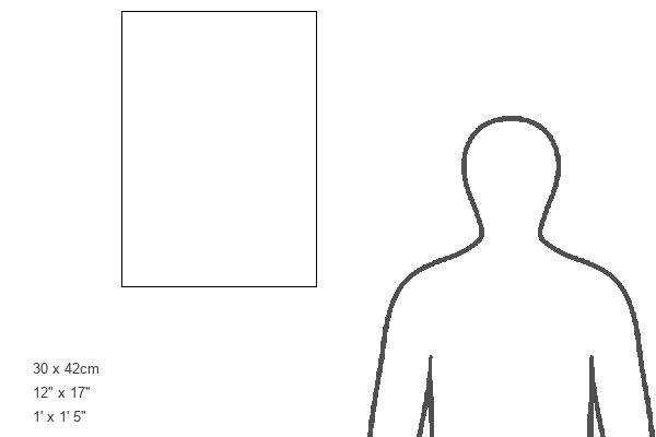
Greetings Card Large (A4)
Discover the wonders of the ancient world with our exquisite selection of vintage greeting cards from Media Storehouse. This card features a captivating map of the Americas from 1685, sourced from the esteemed Mary Evans Prints Online. Travel back in time and explore the unexplored with this beautifully detailed and historically significant design. Perfect for history enthusiasts, cartography lovers, or anyone looking to add a touch of the past to their correspondence. Send a piece of history with every message.
Create your own large greetings card. Size when folded is A4 (21x30cm or 8.3x11.7 inches)
Greetings Cards suitable for Birthdays, Weddings, Anniversaries, Graduations, Thank You and much more
Estimated Image Size (if not cropped) is 29.7cm x 21cm (11.7" x 8.3")
Estimated Product Size is 29.7cm x 42cm (11.7" x 16.5")
These are individually made so all sizes are approximate
Artwork printed orientated as per the preview above, with landscape (horizontal) orientation to match the source image.
FEATURES IN THESE COLLECTIONS
> Arts
> Artists
> O
> Oceanic Oceanic
> Arts
> Artists
> R
> Johannes de Ram
> Maps and Charts
> Related Images
> North America
> Canada
> Maps
> North America
> Canada
> Related Images
> North America
> Related Images
> North America
> United States of America
> Maps
> South America
> Related Images
> Mary Evans Prints Online
> Pictures Now
EDITORS COMMENTS
Step back in time with this exquisite antique map, a captivating glimpse into the cartographic knowledge of the Americas in 1685. This rare and intricately detailed map, titled "America," was created over three centuries ago, offering a fascinating perspective on the geographical understanding of the New World during that era. The map, produced in 1685, displays the North and South American continents in their entirety, with the Atlantic and Pacific Oceans framing the edges. The mapmaker's meticulous attention to detail is evident in the representation of various rivers, mountains, and bodies of water. The map also includes annotations and labels, some in Latin and others in Old French, denoting places of significance such as cities, forts, and indigenous tribes. One particularly noteworthy feature of this map is the depiction of North America, which includes an enlarged section of the northwestern region. This area, which was not well-explored at the time, is shown with a degree of accuracy that is remarkable for the era. The map also includes a hilltop scene, which offers a picturesque and romanticized vision of the New World, with native peoples depicted in their traditional attire, engaged in various activities. This map is a testament to the journeys and voyages of exploration that took place during the 17th century, as Europeans sought to expand their knowledge of the world beyond their shores. It is a reminder of the sense of adventure and discovery that characterized this era, and a reminder of the rich history that lies behind the modern-day United States, Canada, and the other countries of the Americas.
MADE IN THE UK
Safe Shipping with 30 Day Money Back Guarantee
FREE PERSONALISATION*
We are proud to offer a range of customisation features including Personalised Captions, Color Filters and Picture Zoom Tools
SECURE PAYMENTS
We happily accept a wide range of payment options so you can pay for the things you need in the way that is most convenient for you
* Options may vary by product and licensing agreement. Zoomed Pictures can be adjusted in the Basket.