
New World Collection
"Exploring the New World: A Journey through Time and Maps" Embark on a voyage of discovery as we delve into the captivating history of the "New World


All Professionally Made to Order for Quick Shipping
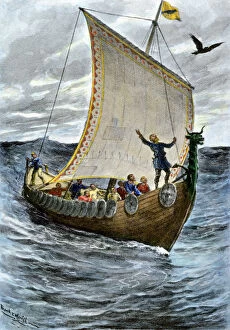
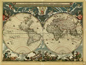
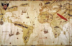
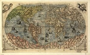
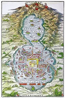
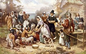
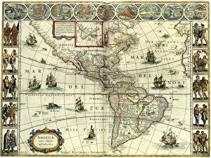
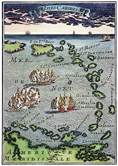
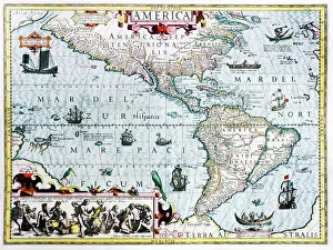
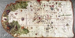
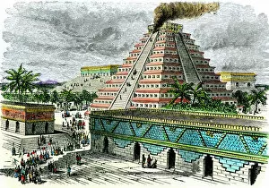
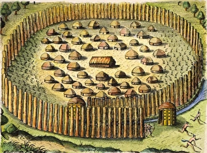
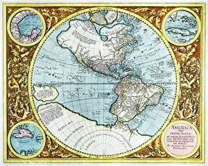
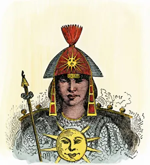
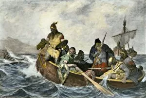
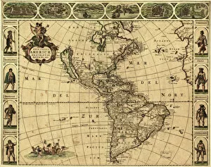
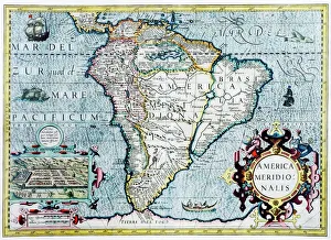
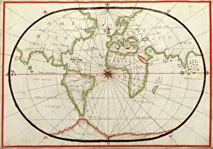
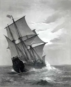
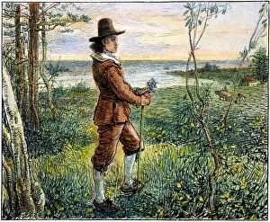
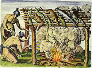
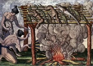
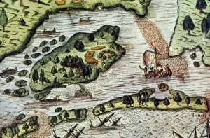
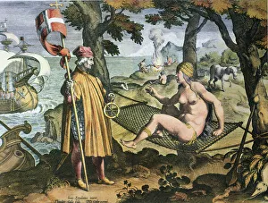
"Exploring the New World: A Journey through Time and Maps" Embark on a voyage of discovery as we delve into the captivating history of the "New World. " From the mighty Viking ship gracefully sailing across vast seas to intricate 17th-century world maps, each hint offers a glimpse into an era brimming with exploration and wonder. Juan Vespucci's meticulously crafted world map from 1526 takes us back to a time when intrepid explorers sought to unravel the mysteries of uncharted territories. Meanwhile, TENOCHTITLAN (MEXICO CITY) at the time of Spanish Conquest reveals a vibrant cityscape teeming with life, captured in exquisite detail by a colored woodcut in 1556. The Cantino World Map of 1502 unveils half our planet's western hemisphere, showcasing early cartographic attempts to comprehend this newfound land. Fast forward to 1720, where an intricately designed map paints a vivid picture of how much knowledge had been gained about our globe over time. Intriguingly, Dutch cartographer's creation presents us with an insightful perspective on North and South America during the mid-17th century. This invaluable document allows us to witness how boundaries were being redrawn and cultures intertwined within this evolving landscape. As we journey further into history, we encounter poignant moments such as Pilgrims' Thanksgiving in 1621 – immortalized by Jean Leon Gerome Ferris' evocative painting. It serves as a reminder that amidst exploration and conquests lay stories of unity and gratitude for new beginnings. Venturing southwards towards Caribbean islands depicted in an enchanting French woodcut from c. 1688 brings forth tales rich in diversity and cultural exchange that shaped these tropical paradises forever.