Glass Place Mat > Popular Themes > Politics
Glass Place Mat : Childrens Political British Isles Map


![]()
Home Decor from Map Marketing
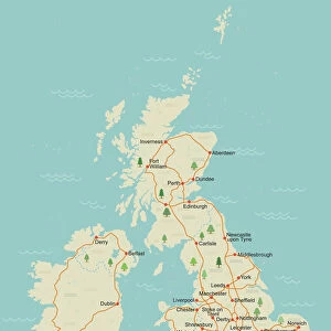
Childrens Political British Isles Map
The British Isles Political map designed for school children was created using Universal Transverse Mercator projection. This political student map clearly marks the counties and unitary authorities in different colours with cities and towns displayed in six population bands. The legend also includes a graphical representation of the five largest conurbations by population compared to the five largest counties by area
Media ID 19950391
© Map Marketing Ltd
Capitals Counties Population Student
Glass Place Mat (Set of 4)
Set of 4 Glass Place Mats. Stylish and elegant polished safety glass, toughened and heat resistant (275x225mm, 7mm thick). Matching Coasters also available.
Set of 4 Glass Place Mats. Elegant polished safety glass and heat resistant. Matching Coasters may also be available
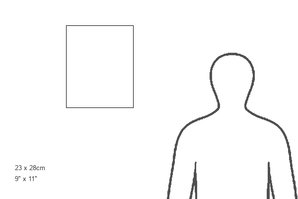
Estimated Image Size (if not cropped) is 18.7cm x 25.4cm (7.4" x 10")
Estimated Product Size is 22.5cm x 27.5cm (8.9" x 10.8")
These are individually made so all sizes are approximate
FEATURES IN THESE COLLECTIONS
> Maps and Charts
> Related Images
MADE IN THE UK
Safe Shipping with 30 Day Money Back Guarantee
FREE PERSONALISATION*
We are proud to offer a range of customisation features including Personalised Captions, Color Filters and Picture Zoom Tools
SECURE PAYMENTS
We happily accept a wide range of payment options so you can pay for the things you need in the way that is most convenient for you
* Options may vary by product and licensing agreement. Zoomed Pictures can be adjusted in the Basket.