Glass Frame > Maps and Charts > Related Images
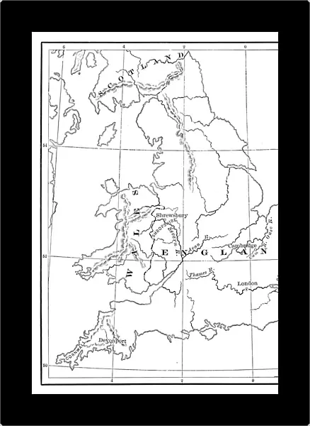
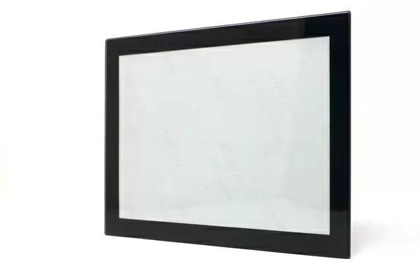
Glass Frame : United Kingdom Map
![]()

Mounted Prints from Fine Art Storehouse
United Kingdom Map
United Kingdom Map - Scanned 1880 Engraving
Unleash your creativity and transform your space into a visual masterpiece!
benoitb
Media ID 18298765
8"x6" Glass Mount
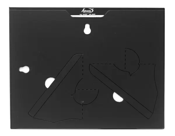
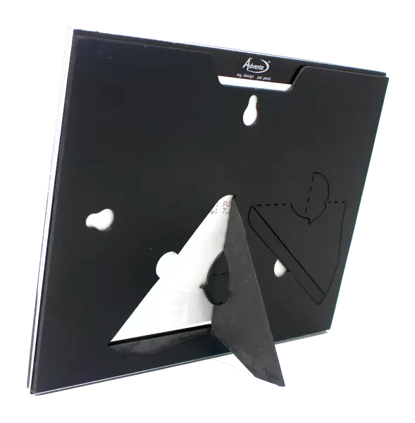
Wall mounted or free-standing, these black edged glass frames feature a smooth chamfered edge and a stylish black border (on back face of the glass). Manufactured from 4mm thick glass, Glass Mounts are a durable, professional way of displaying and protecting your prints. Your 8x6 print is slotted into the back of the frame so can easily be changed if needed.
Tempered Glass Mounts are ideal for wall display, plus the smaller sizes can also be used free-standing via an integral stand
Estimated Image Size (if not cropped) is 15.2cm x 20.3cm (6" x 8")
Estimated Product Size is 17.7cm x 22.8cm (7" x 9")
These are individually made so all sizes are approximate
Artwork printed orientated as per the preview above, with portrait (vertical) orientation to match the source image.
FEATURES IN THESE COLLECTIONS
> Fine Art Storehouse
> Map
> Historical Maps
> Maps and Charts
> Related Images
EDITORS COMMENTS
This print showcases the United Kingdom Map, a remarkable piece of history that takes us back to the year 1880. The intricate details and exquisite craftsmanship of this scanned engraving by benoitb, available at Fine Art Storehouse, transport us to an era long gone. The map itself is a testament to the rich heritage and cultural significance of the United Kingdom. Every line and curve on this vintage masterpiece tells a story of exploration, conquests, and centuries-old traditions. It serves as a visual time capsule capturing the geography and boundaries of England, Scotland, Wales, and Northern Ireland during that period. As we gaze upon this stunning artwork, our imagination runs wild with thoughts about how life was in those times. We envision horse-drawn carriages traversing cobbled streets while steam engines chug along vast railway networks connecting bustling cities with picturesque countryside. Beyond its historical value, this print also holds aesthetic appeal. The meticulous engravings bring forth an air of elegance that can enhance any space it graces - be it a home study or an office wall. Its monochromatic palette adds sophistication while allowing for easy integration into various interior design styles. Whether you are an avid history enthusiast or simply appreciate fine artistry from bygone eras, this United Kingdom Map print is sure to captivate your senses and ignite curiosity about the past. Let it serve as both a conversation starter and reminder of the enduring legacy embedded within these lands we call home today.
MADE IN THE UK
Safe Shipping with 30 Day Money Back Guarantee
FREE PERSONALISATION*
We are proud to offer a range of customisation features including Personalised Captions, Color Filters and Picture Zoom Tools
SECURE PAYMENTS
We happily accept a wide range of payment options so you can pay for the things you need in the way that is most convenient for you
* Options may vary by product and licensing agreement. Zoomed Pictures can be adjusted in the Basket.

