Glass Frame > Fine Art Finder > Maps (celestial & Terrestrial)
Glass Frame : Map of Great Britain, France and Spain, 1473 (engraving)
![]()

Mounted Prints from Fine Art Finder
Map of Great Britain, France and Spain, 1473 (engraving)
XJF134226 Map of Great Britain, France and Spain, 1473 (engraving) by Benincasa, Grazioso (fl.1468); Private Collection; Italian, out of copyright
Media ID 12722447
© www.bridgemanart.com
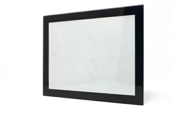
7"x5" Glass Mount
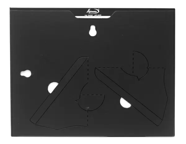
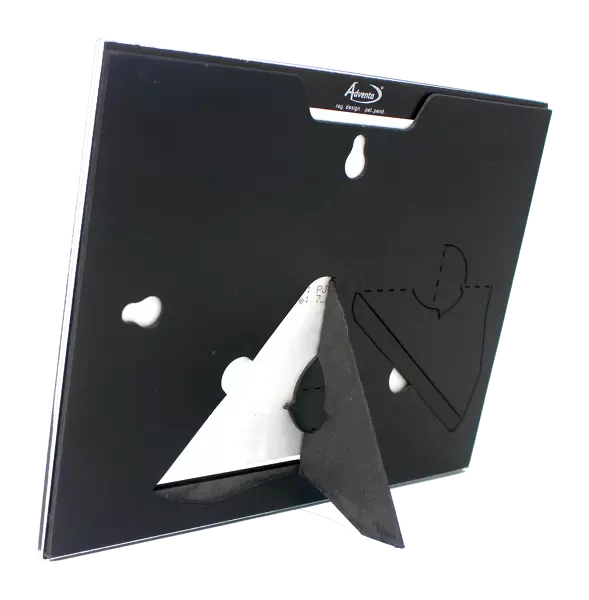
Wall mounted or free-standing, these black edged glass frames feature a smooth chamfered edge and a stylish black border (on back face of the glass). Manufactured from 4mm thick glass, Glass Mounts are a durable, professional way of displaying and protecting your prints. Your 7x5 print is slotted into the back of the frame so can easily be changed if needed.
Tempered Glass Mounts are ideal for wall display, plus the smaller sizes can also be used free-standing via an integral stand
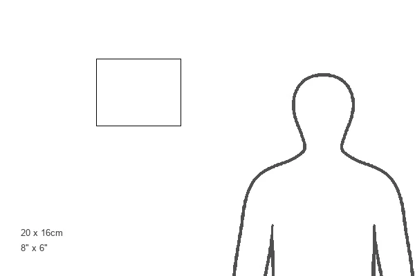
Estimated Image Size (if not cropped) is 17.7cm x 12.7cm (7" x 5")
Estimated Product Size is 20.3cm x 16.2cm (8" x 6.4")
These are individually made so all sizes are approximate
Artwork printed orientated as per the preview above, with landscape (horizontal) orientation to match the source image.
FEATURES IN THESE COLLECTIONS
> Fine Art Finder
> Artists
> Grazioso Benincasa
> Fine Art Finder
> Maps (celestial & Terrestrial)
EDITORS COMMENTS
This print showcases a remarkable engraving titled "Map of Great Britain, France and Spain, 1473" by the talented Italian cartographer Grazioso Benincasa. The intricate details and historical significance of this piece make it an invaluable addition to any art collection. Created specifically for Italian merchants during the late 15th century, this map offers a unique glimpse into the early stages of European exploration and trade routes. It depicts the British Isles, France, and Spain with meticulous precision, highlighting their coastlines and islands amidst vast oceans. While undoubtedly impressive for its time, it is important to note that this engraving may not be entirely accurate by today's standards. As mapping techniques have evolved over centuries, we now understand that some aspects may be slightly inaccurate or outdated. Nevertheless, this only adds to the charm and intrigue of this vintage artwork. The grid references on the map provide further insight into how navigation was approached in those times. They serve as a reminder of how far we have come in terms of technological advancements in cartography. With its rich history and undeniable beauty, this print serves as both an educational tool for historians and a visually stunning piece for art enthusiasts. Its presence will surely spark conversations about our ever-evolving understanding of geography while appreciating the craftsmanship behind such timeless works of art.
MADE IN THE UK
Safe Shipping with 30 Day Money Back Guarantee
FREE PERSONALISATION*
We are proud to offer a range of customisation features including Personalised Captions, Color Filters and Picture Zoom Tools
SECURE PAYMENTS
We happily accept a wide range of payment options so you can pay for the things you need in the way that is most convenient for you
* Options may vary by product and licensing agreement. Zoomed Pictures can be adjusted in the Basket.


