Glass Coaster > Animals > Mammals > Cricetidae > California Mouse
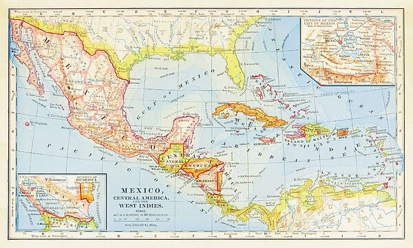
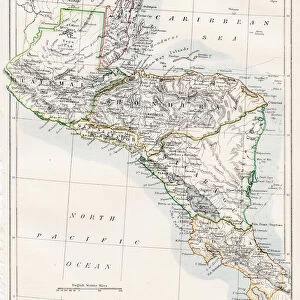
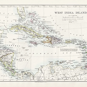
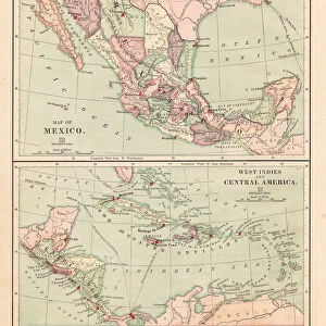
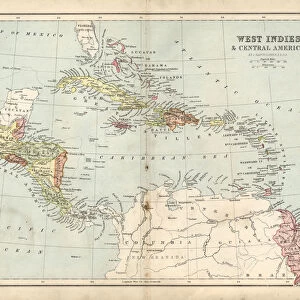
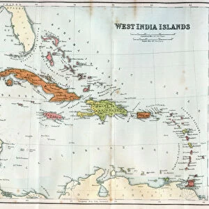
Glass Coaster : 1883 Map Of Central America
![]()

Home Decor from Fine Art Storehouse
1883 Map Of Central America
Unleash your creativity and transform your space into a visual masterpiece!
benoitb
Media ID 15256741
© benoitb
Atlantic Ocean Bahamas California Caribbean Sea Central America Costa Rica Cuba Florida Guatemala Gulf Of Mexico Haiti Honduras Jamaica Mexico Nicaragua Pacific Ocean Puerto Rico Retro Revival Salvador South America West Indies 1883 Lake Nicaragua
Glass Coaster
Individual Glass Coaster. Stylish and elegant polished safety glass, toughened and heat resistant (10x10cm, 7mm thick). Price shown is per individual coaster.
Individual Glass Coaster. Elegant polished safety toughened glass and heat resistant, matching Place Mats are also available
Estimated Image Size (if not cropped) is 7.6cm x 4.6cm (3" x 1.8")
Estimated Product Size is 10cm x 10cm (3.9" x 3.9")
These are individually made so all sizes are approximate
Artwork printed orientated as per the preview above, with landscape (horizontal) orientation to match the source image.
FEATURES IN THESE COLLECTIONS
> Fine Art Storehouse
> Map
> Historical Maps
> Fine Art Storehouse
> Map
> USA Maps
> Animals
> Mammals
> Cricetidae
> California Mouse
> Arts
> Artists
> O
> Oceanic Oceanic
> Maps and Charts
> Related Images
> North America
> The Bahamas
> Maps
> North America
> The Bahamas
> Related Images
> North America
> Costa Rica
> Maps
> North America
> Costa Rica
> Related Images
> North America
> Cuba
> Maps
> North America
> Cuba
> Related Images
EDITORS COMMENTS
This stunning vintage print showcases an intricately detailed 1883 map of Central America, capturing the essence of a bygone era. Created by the talented artist Benoitb, this piece takes us on a journey through time and space, offering a glimpse into the region's rich history and geographical features. From Lake Nicaragua to the Gulf of Mexico, from California to Florida, this map encompasses it all. It beautifully highlights countries like El Salvador, Haiti, Nicaragua, Honduras, Guatemala, Costa Rica and more. The meticulous cartography transports us back to a time when exploration was at its peak and discoveries were being made. The retro revival aesthetic adds an extra layer of charm to this artwork. Its warm tones and aged appearance evoke nostalgia for an era long gone. As we gaze upon this print, we are reminded of the countless stories that unfolded within these borders - tales of conquests and civilizations rising and falling. Whether you have personal ties to Central America or simply appreciate historical artifacts with artistic flair, this print is sure to captivate your imagination. Display it proudly in your home or office as a conversation starter or as a reminder of our world's diverse past
MADE IN THE UK
Safe Shipping with 30 Day Money Back Guarantee
FREE PERSONALISATION*
We are proud to offer a range of customisation features including Personalised Captions, Color Filters and Picture Zoom Tools
SECURE PAYMENTS
We happily accept a wide range of payment options so you can pay for the things you need in the way that is most convenient for you
* Options may vary by product and licensing agreement. Zoomed Pictures can be adjusted in the Basket.


