Fraud Blocker Skip to main content

Urbanisation Collection (page 5)

"Captivating Urbanisation: A Global Perspective" Sheffield, UK - An aerial image captures the dynamic growth of this industrial city

Background imageUrbanisation Collection: Newcastle upon Tyne, UK, aerial image

Newcastle upon Tyne, UK, aerial image
Newcastle upon Tyne, UK, satellite image. Several bridges are seen crossing the river Tyne, linking Newcastle on the north bank (top) with Gateshead on the south bank

Background imageUrbanisation Collection: Trafalgar square, aerial photograph

Trafalgar square, aerial photograph
Trafalgar Square, aerial photograph. Trafalgar Square was designed by Sir Charles Barry to commemorate the Battle of Trafalgar (1805), and building was completed in 1845

Background imageUrbanisation Collection: Southampton, UK, aerial image

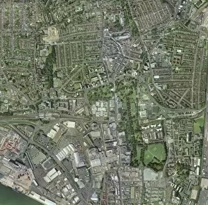
Southampton, UK, aerial image. This is a major port city on the south coast. At bottom left is part of the river Test, which flows into Southampton Water

Background imageUrbanisation Collection: Coventry, UK

Coventry, UK, aerial photograph. Coventry is a city in the West Midlands of England. It has a population of around 300, 000

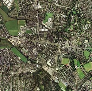
Background imageUrbanisation Collection: Oxford, UK, aerial image

Oxford, UK, aerial image. The city is home to the oldest university in the English-speaking world

Background imageUrbanisation Collection: Istanbul, satellite image

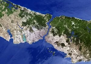
Istanbul, satellite image. North is at top. Vegetation is green, urbanised areas are pink and grey and agricultural areas are shades of brown

Background imageUrbanisation Collection: Geneva, satellite image

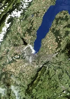
Geneva, satellite image. North is at top. Vegetation is green, brown areas are bare ground and urbanised areas are grey. Water is blue and cloud cover is white

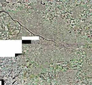
Background imageUrbanisation Collection: Berlin, Germany, satellite image

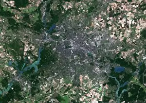
Berlin, Germany, satellite image. North is at top, water is blue, urban areas are grey, vegetation is green and agricultural areas are brown

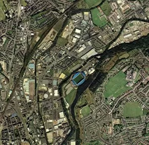
Background imageUrbanisation Collection: Huddersfield, UK, aerial image

Huddersfield, UK, aerial image
Huddersfield, Kirklees, UK, aerial image. Prominent at centre is the Galpharm Stadium, home of Huddersfield Town football club and Huddersfield Giants rugby league club

Background imageUrbanisation Collection: Dublin, Republic of Ireland

Dublin, Republic of Ireland. Satellite image. North is at top, water is blue, shallow coastal areas are light blue, agricultural areas are brown, urban areas are grey and vegetation is green

Background imageUrbanisation Collection: Brighton, UK

Brighton, UK, aerial photograph. Brighton is a city on the south coast of England. Since Victorian times it has been a seaside resort

Background imageUrbanisation Collection: Tokyo, satellite image

Tokyo, satellite image
Tokyo Bay, satellite image. North is at top. Water is blue, vegetation is green, bare ground is yellow and urbanised areas are pink and grey

Background imageUrbanisation Collection: Stoke-on-Trent, UK, aerial image

Stoke-on-Trent, UK, aerial image. The city of Stoke merges with the town of Newcastle under Lyme to its west (left)

Background imageUrbanisation Collection: Basingstoke, UK

Basingstoke, UK, aerial photograph. Basingstoke is a medium-sized modern town in the county of Hampshire. Its main employers are in the financial services industry

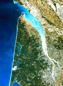
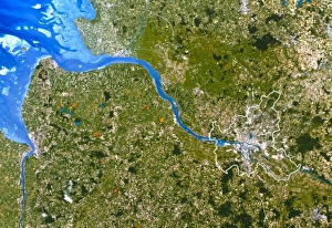
Background imageUrbanisation Collection: True-colour satellite image of Bordeaux, France

True-colour satellite image of Bordeaux, France
Bordeaux. True-colour satellite image of Bordeaux (bottom right) and the Gironde estuary (lower right to upper centre), France. North is at top. Urban areas such as Bordeaux appear grey

Background imageUrbanisation Collection: Los Angeles

Los Angeles
Photograph of Los Angeles by night

Background imageUrbanisation Collection: Satellite image of Paris

Satellite image of Paris
Paris. True-colour satellite image of Paris, capital & largest city of France. North is at top. Urban areas appear in shades of grey

Background imageUrbanisation Collection: San Francisco

San Francisco. Coloured satellite image of the city of San Francisco, USA. Water is blue, vegetation is green, urban areas are grey and bare earth is brown. North is at top

Background imageUrbanisation Collection: Bristol, UK, aerial image

Bristol, UK, aerial image
Bristol, UK, aerial photograph. Bristol is a city in the west of England located on the Bristol Channel (not seen). The river Avon, which flows into the channel, is seen at left

Background imageUrbanisation Collection: City lights of Buenos Aires, Argentina

City lights of Buenos Aires, Argentinas capital city, from space. North is at upper left. Across top are the unlit waters of the River Plate

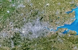
Background imageUrbanisation Collection: Satellite image of Greater London, UK

Satellite image of Greater London, UK

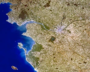
Background imageUrbanisation Collection: Nantes

Nantes. True-colour satellite image of the city of Nantes (centre right), France, and the surrounding area. North is at top

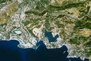
Background imageUrbanisation Collection: True-colour satellite image of Marseille, France

True-colour satellite image of Marseille, France
Marseille. True-colour satellite image of Mars- eille (or Marseilles, lower right), France, & the surrounding area. The Rhone delta, which includes the Camargue region, is at centre left

Background imageUrbanisation Collection: London

London. Coloured satellite image of the city of London, in south-eastern England. North is at top. Urban areas are white, vegetation is green and water is blue

Background imageUrbanisation Collection: Glasgow, UK, aerial image

Glasgow, UK, aerial image
Glasgow, UK, aerial photograph. Glasgow is the largest city in Scotland, with a population of around 610, 000 (2003). It is in western Scotland on the banks of the river Clyde

Background imageUrbanisation Collection: Manhattan, New York City, aerial image

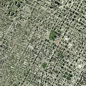
Manhattan, New York City, aerial image
Manhattan, New York City, aerial photograph. North is at top. This is one of the most densely populated urban areas in the world

Background imageUrbanisation Collection: Tokyo

Tokyo. Coloured satellite image of the harbour area in the city of Tokyo, Japan. Water is blue, urban areas are grey and vegetation is green. North is at top

Background imageUrbanisation Collection: Landstat photo of Cairo & Nile delta

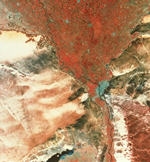
Landstat photo of Cairo & Nile delta
Landsat photograph of the city of Cairo and the Nile delta. The black thread of the river Nile can be seen surrounded by a thin strip of red vegetation which opens into the wide mouth of the delta

Background imageUrbanisation Collection: New York City

New York City. Coloured satellite image of New York City, on the eastern coast of the USA. North is at top. Urban areas are white, vegetation is green and water is blue

Background imageUrbanisation Collection: True-colour satellite image of Nantes, France

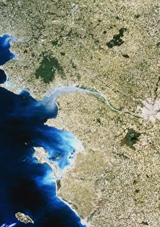
True-colour satellite image of Nantes, France
Nantes. True-colour satellite image of Nantes (at right), France, and the surrounding area. North is at top. Urban areas such as Nantes and Saint Nazarre (upper left) appear in shades of grey

Background imageUrbanisation Collection: City of London, aerial image

City of London, aerial image
City of London, UK, aerial photograph. The River Thames runs through the City. The bridges crossing the river are, from left to right, Southwark Bridge, Cannon Street Railway Bridge

Background imageUrbanisation Collection: New Orleans

New Orleans. True-colour satellite image of the city of New Orleans (lower centre), Louisiana, USA. North is at top. Vegetation is green, water is blue and urban areas are white/grey

Background imageUrbanisation Collection: Time-exposure of Moscow, Russia, at night

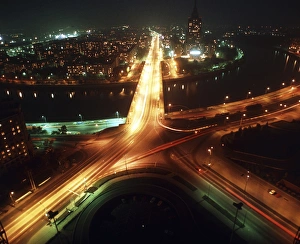
Time-exposure of Moscow, Russia, at night
Moscow. Time-exposure image of Moscow, capital city of Russia, by night. The Russian parliamen- tary building is at upper right, beside the wide Arbat Street

Background imageUrbanisation Collection: True-colour satellite image of Hamburg, Germany

True-colour satellite image of Hamburg, Germany
Hamburg. True-colour satellite image of Hamburg (centre right), Germany. North is at top. Hamburg is one of Germanys 16 states (Lander); the citys limits are outlined in white

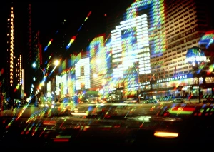
Background imageUrbanisation Collection: Multiple-exposure photograph of Moscow city lights

Multiple-exposure photograph of Moscow city lights
Moscow city lights. Multiple-exposure photograph of lights in a street of Moscow, the capital city of Russia. The lights of a building have been left on to form patterns which represent letters

Background imageUrbanisation Collection: Birmingham, UK, aerial image

Birmingham, UK, aerial image
Birmingham, UK, aerial photograph. Birmingham is in the West Midlands, and is the second city of the UK. It has a population of nearly one million (2003)

Background imageUrbanisation Collection: Jakarta, 1976 - 2004

Jakarta, 1976 - 2004
Jakarta, Indonesia. Satellite image showing the growth of Jakarta, on the island of Java in Indonesia. Each square is 40 kilometres wide

Background imageUrbanisation Collection: Las Vegas, satellite image, 2009

Las Vegas, satellite image, 2009
Las Vegas. True colour satellite image of Las Vegas, Nevada, USA. North is at top. The lake at right is Lake Mead, the largest man-made lake in the world

Background imageUrbanisation Collection: Millennium Stadium car park, aerial view

Millennium Stadium car park, aerial view

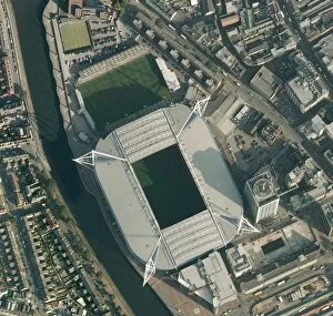
Background imageUrbanisation Collection: Millennium Stadium, Cardiff, aerial view

Millennium Stadium, Cardiff, aerial view

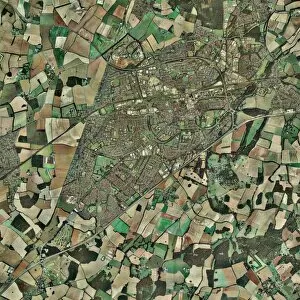
Background imageUrbanisation Collection: Peterborough, aerial image

Peterborough, aerial image
Peterborough. Aerial image of Peterborough, Cambridgeshire, UK

Background imageUrbanisation Collection: Office block

Office block. Windows in a corner of an office block, seen against a cloud in a blue sky. The design of a buildings windows

Background imageUrbanisation Collection: Office block windows

Office block windows. The design of a buildings windows and the use of blinds can affect the amount of heat lost to or gained from the surroundings

Background imageUrbanisation Collection: Milan, Italy, aerial photograph

Milan, Italy, aerial photograph
Milan. Aerial photograph of Milan, the second largest city in Italy

Background imageUrbanisation Collection: Europe at night, satellite image

Europe at night, satellite image
Europe at night. Satellite image of the Earth seen at 00:00 (midnight) GMT (UTC), centred on Europe. City lights (yellow) in dark areas show areas of dense population

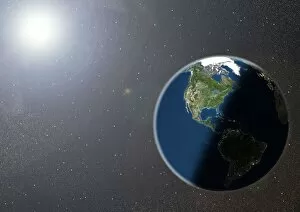
Background imageUrbanisation Collection: The Americas, satellite image

The Americas, satellite image. Oceans are blue and land is green and brown. City lights (yellow) in dark areas show areas of dense population

Background imageUrbanisation Collection: San Francisco Bay, USA, satellite image

San Francisco Bay, USA, satellite image
San Francisco Bay, USA. Satellite image of the San Francisco Bay area in California, USA. North is at top. The city of San Francisco is located on the tip of the San Francisco Peninsula

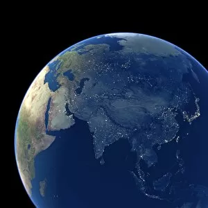
Background imageUrbanisation Collection: Asia at night, satellite image

Asia at night, satellite image. City lights (yellow) show areas of dense population. Large, densely populated areas include India (lower centre), China (lower right) and Japan (right)


All Professionally Made to Order for Quick Shipping

"Captivating Urbanisation: A Global Perspective" Sheffield, UK - An aerial image captures the dynamic growth of this industrial city, where urbanisation has transformed its landscape into a bustling metropolis. Vancouver, Canada - Behold the stunning view of this coastal gem; urbanisation harmoniously blends with nature as skyscrapers rise against a backdrop of majestic mountains and sparkling waters. Europe at night - Witness the mesmerizing satellite image showcasing Europe's vibrant cities illuminated by countless lights, symbolizing the continent's rapid urbanisation and thriving economies. Hong Kong at dawn - As day breaks over this iconic skyline, witness how urbanisation has shaped Hong Kong into an architectural marvel that seamlessly merges tradition with modernity. Swanley, Kent, England - From above, observe the main road that runs through this charming town in Kent; a testament to how even smaller communities contribute to the global phenomenon of urbanisation. India at night - This satellite image reveals India's transformation under the cloak of darkness; sprawling cities light up like constellations as urbanisation propels economic progress across diverse landscapes. Modica Italy's old town view – Step back in time amidst narrow cobblestone streets and ancient architecture; while surrounded by history, Modica showcases pockets untouched by modern-day urbanisation. South America at night – Gaze upon a breathtaking satellite image capturing South America’s nocturnal beauty; twinkling lights signify not only major cities but also emerging hubs embracing rapid urban development. London, UK – A bird’s-eye-view unveils London’s grandeur from above; centuries-old landmarks blend harmoniously with contemporary skyscrapers epitomising successful integration within an ever-changing world driven by relentless urbanisation Reading & Southampton (UK)– These two contrasting towns showcase different facets of British suburban life amid ongoing waves of urban expansion—a tale told through their unique architectural landscapes.