
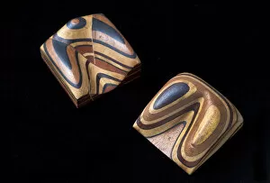
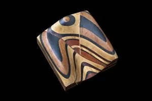
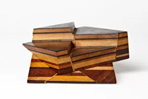
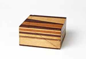
Stratification Collection (page 2)
"Unveiling Earth's Layers: Exploring the Fascinating World of Stratification" Discovering Earth's Secrets


All Professionally Made to Order for Quick Shipping
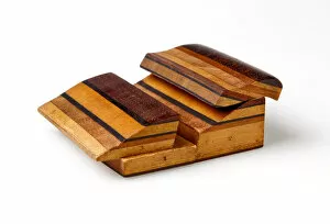
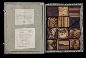
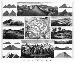
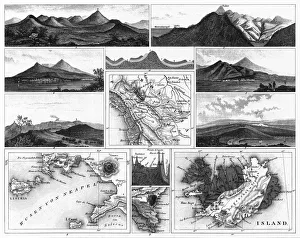
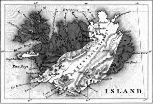
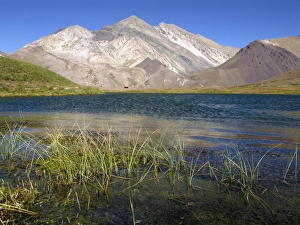
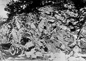
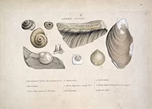
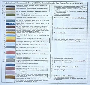
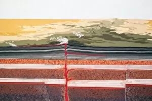
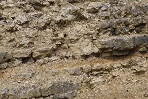
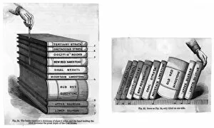
"Unveiling Earth's Layers: Exploring the Fascinating World of Stratification" Discovering Earth's Secrets: William Smith Geological Map reveals hidden layers beneath our feet. Timeless Beauty: Geological unconformity on the river Jed showcases millions of years in a single frame. Unraveling Oxfordshire's Past: A mesmerizing journey through time with the Geological Map of Oxfordshire. The Enigmatic Kelloways Stone: A geological marvel that holds clues to ancient landscapes and ecosystems. Mapping Our Planet's History: Delving into the intricate details of William Smith's Geological Map. Nature's Grand Masterpiece: Beholding the awe-inspiring stratification at Grand Canyon National Park. Forces Unleashed: Witnessing the raw power and beauty of a volcanic eruption shaping our planet. Cultural Tapestry: Two Brahmin Girls standing against a backdrop of stratified society and traditions. Etretat, France - L'Aiguille (The Needle): Marveling at nature's artistry etched in stunning rock formations. Werner's Legacy Lives On: Abraham Gottlob Werner engraving immortalizes his contributions to understanding stratification. Prince William Sound, Alaska - Autumn Magic unfolds as Valdez Island emerges from misty stratified evergreens. Delve into Earth’s captivating story as we explore various aspects of "stratification, " from geological wonders like William Smith’s maps and geological unconformities on rivers to breathtaking natural landmarks such as Grand Canyon National Park and Prince William Sound in Alaska. Witness how these layers tell tales spanning millions of years, unraveling mysteries about our planet’s past climates, ecosystems, and tectonic forces through captivating visuals like Kelloways Stone or volcanic eruptions frozen in time. Beyond geology lies cultural stratifications represented by two Brahmin girls embodying societal divisions shaped by tradition and heritage.