
Oceanographic Collection
"Exploring the Depths: Unveiling Earth's Oceanographic Wonders" Embarking on a journey through the vast expanse of our planet


All Professionally Made to Order for Quick Shipping
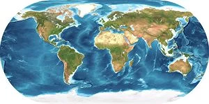
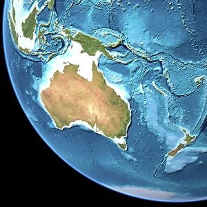
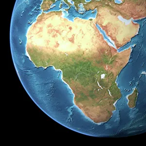
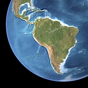
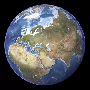
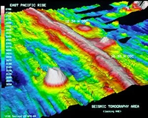
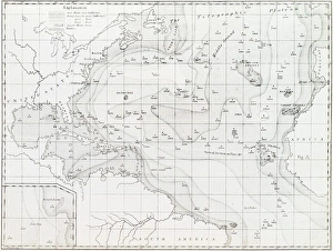
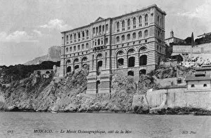
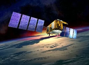
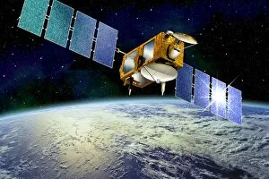
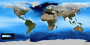
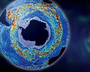
"Exploring the Depths: Unveiling Earth's Oceanographic Wonders" Embarking on a journey through the vast expanse of our planet, we delve into the captivating realm of oceanography. With its intricate connection to Earth's topographic and bathymetric maps, this scientific discipline unravels the mysteries hidden beneath the waves. From Australia's mesmerizing topographic map to Africa's awe-inspiring landscapes, we witness how these terrestrial features shape and influence our oceans' dynamics. As we navigate through Earth's diverse regions, both above and below sea level, a profound understanding of our planet emerges. Amidst this exploration lies an intriguing link between Union Workhouse in Hambledon, Surrey and oceanography. Perhaps it is here that early pioneers laid the foundation for studying marine environments or sought inspiration from their surroundings. Venturing further into technological advancements, Lockheed RP-3D Orion 158227 Paisano Tres (Project Magnet) and Lockheed RP-3A Orion 149667 El Coyote (Project Seascan) take center stage. These remarkable aircrafts have played pivotal roles in gathering crucial data about our oceans' depths – unveiling secrets once confined to imagination. As we soar above Monaco Oceanographic Museum and Montecarlo on a helicopter ride along Cote d Azur, a breathtaking panorama unfolds before us. The juxtaposition of land meeting sea showcases nature's harmonious dance – reminding us of humanity's responsibility towards preserving these delicate ecosystems. Intriguingly intertwined with history are DDE-90032918 and DDE-90032914; they serve as reminders that oceanography transcends mere scientific study but also holds cultural significance worth exploring further. Ultimately, whether tracing back to Hambledon workhouse or marveling at cutting-edge technology like Project Magnet or Project Seascan, oceanography beckons us to unravel its enigmatic allure.