
Landsat 5 Collection
"Landsat 5: Unveiling the Beauty and Diversity of Our World from Above" Discover the enchanting landscapes of the British Isles through Landsat 5's satellite image


All Professionally Made to Order for Quick Shipping
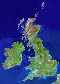
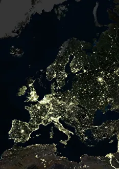
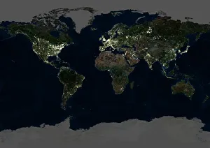
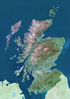
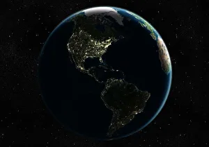
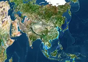
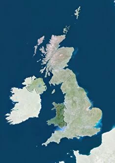
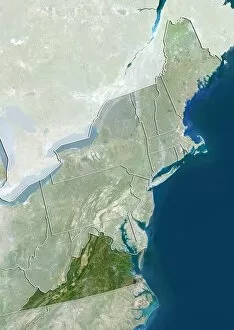
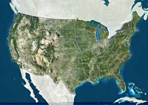
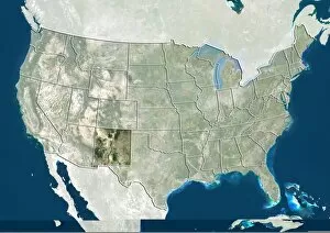
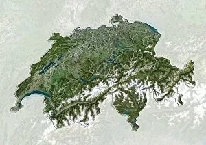
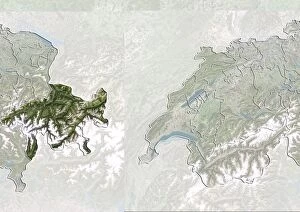
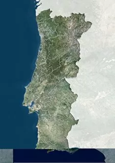
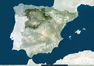
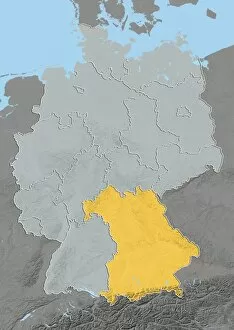
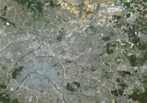
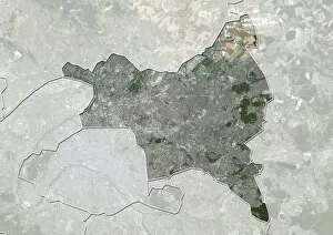
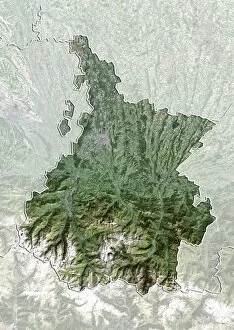
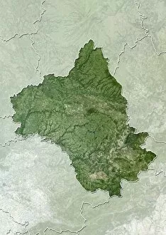
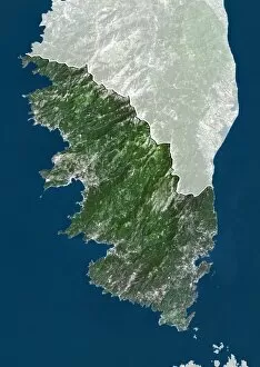
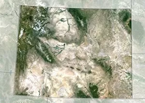
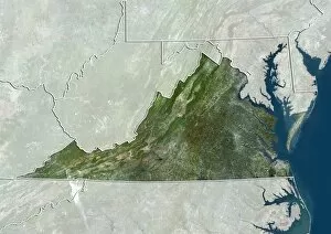
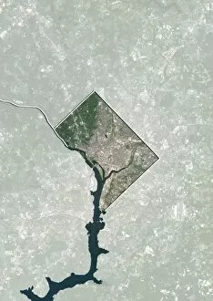
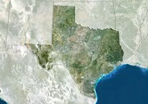
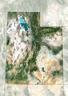
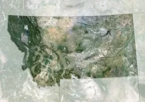
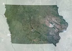
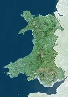
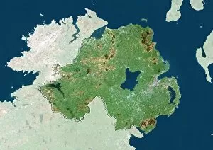
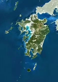
"Landsat 5: Unveiling the Beauty and Diversity of Our World from Above" Discover the enchanting landscapes of the British Isles through Landsat 5's satellite image, showcasing its stunning natural beauty. Witness Europe at night like never before with Landsat 5's captivating satellite image, revealing a mesmerizing tapestry of illuminated cities and towns. Behold the breathtaking spectacle of our entire planet bathed in darkness as Landsat 5 captures an awe-inspiring satellite image of Whole Earth at night. Explore Scotland's rugged terrain and picturesque vistas through the lens of Landsat 5's remarkable satellite image, offering a glimpse into this captivating part of the UK. Embark on a visual journey across Southeast Asia at night with Landsat 5's striking satellite image, unveiling a vibrant region brimming with life and energy. Immerse yourself in Asia's vastness as seen from space through Landsat 5's incredible satellite image, capturing its diverse landscapes and rich cultural heritage. Marvel at India’s majestic beauty showcased in a spellbinding satellite image captured by Landsat 5, highlighting its iconic landmarks and diverse topography. Delve into Wales' enchanting landscapes with precision detail as provided by Landsat 5’s high-resolution satellite imagery C014 /0084 – truly an aerial masterpiece. Step back in time to Beijing circa 2010 with Landstat-5’s archival treasure trove - an exquisite snapshot that reveals China’s capital city from above like never before. Traverse Northeastern USA from a bird’s eye view using Landstat-5’s detailed satellite imagery C014/0091 – uncover hidden gems amidst this bustling region. Explore Virginia like never before. With Landstat-05 Satellite Image C014/0090 you can witness every nook & cranny; mountains to beaches, cities to countryside.