
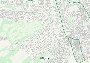
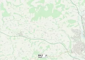
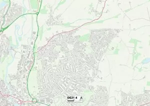
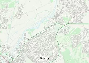
Hereford Road Collection
Hereford Road is a well-connected street that spans across various locations in the UK, from Sunderland to Wigan


All Professionally Made to Order for Quick Shipping
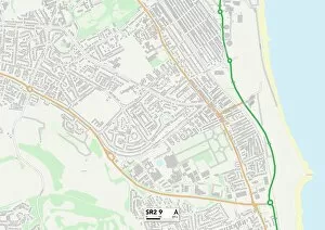
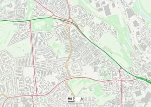
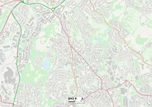
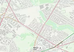
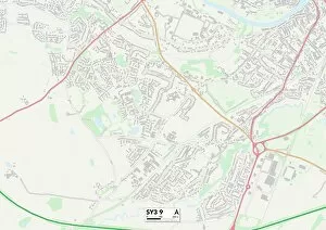
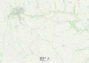
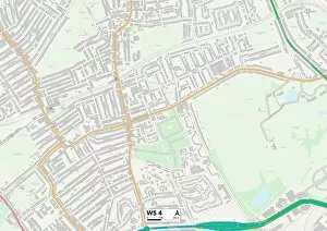
Hereford Road is a well-connected street that spans across various locations in the UK, from Sunderland to Wigan. With its diverse range of addresses, it offers something for everyone. Starting off in Sunderland (SR2 9 Map), Hereford Road provides easy access to the vibrant city center and all its amenities. Whether you're looking for shopping, dining, or entertainment options, this location has it all. Moving on to Leicester (LE2 8 Map), it offers a peaceful retreat away from the hustle and bustle of the city. Surrounded by green spaces and parks, residents can enjoy a tranquil lifestyle while still being within reach of urban conveniences. In Dudley (DY2 9 Map), Hereford Road presents an ideal setting for families. With excellent schools nearby and plenty of recreational facilities such as parks and playgrounds, children will have endless opportunities to play and grow. Heading towards Redcar & Cleveland (TS14 7 Map), Hereford Road showcases stunning coastal views. Imagine waking up to breathtaking sunrises over the sea or taking leisurely walks along sandy beaches – pure bliss. Hounslow (TW13 5 Map) welcomes you with open arms on Hereford Road. This vibrant area boasts multicultural diversity alongside fantastic transport links into central London, making it perfect for commuters. Venturing into Shropshire (SY3 0 & SY3 9 Maps), Hereford Road immerses you in picturesque countryside landscapes dotted with charming villages. Enjoy long country walks or explore historic landmarks nearby – there's always something new to discover. Derbyshire Dales' section (SK17 9 Map) is nestled amidst rolling hills and scenic beauty. Nature enthusiasts will be delighted by the abundance of hiking trails and outdoor activities available right at their doorstep. Ealing's portion encompasses both W5 4 Map and W3 9 Map, offering a blend of suburban tranquility and urban convenience.