Geology Gallery
Available as Prints and Gift Items
Choose from 943 pictures in our Geology collection for your Wall Art or Photo Gift. All professionally made for Quick Shipping.

Derwent Water, with Blencathra behind, Lake District, Cumbria, England
WorldInPrint
Full Range of Prints and Gifts in Stock

View to the Seven Sisters from Seaford Head, East Sussex, England, UK
WorldInPrint
Full Range of Prints and Gifts in Stock

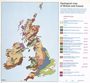
Geological map of Britain and Ireland
Mary Evans Prints Online
Full Range of Prints and Gifts in Stock

Continental drift after 250 million years
Science Photo Library
Full Range of Prints and Gifts in Stock

Giants Causeway at sunset, UNESCO World Heritage Site, County Antrim, Ulster, Northern Ireland
WorldInPrint
Full Range of Prints and Gifts in Stock

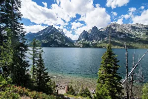
Jenny Lake in front of the Teton range in the Grand Teton National Park, Wyoming, United States of America
WorldInPrint
Full Range of Prints and Gifts in Stock

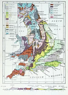
Antique colored illustrations: Geological map of England and Wales
Fine Art Storehouse
Full Range of Prints and Gifts in Stock

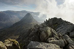
Tryfan, viewed from the top of Bristly Ridge on Glyder Fach, Snowdonia, Wales, United Kingdom
WorldInPrint
Full Range of Prints and Gifts in Stock

Continental drift after 250 million years
Continental drift after 250 million years, showing the supercontinent of Pangea Ultima, which was named for the ancient supercontinent of Pangea. Pangea began to break up some 200 million years before the modern era, and around 450 million years before the formation of Pangea Ultima. Some of the shapes of todays continents are still visible. Several such supercontinents have formed in the 4.5-billion-year history of the Earth
© MIKKEL JUUL JENSEN / SCIENCE PHOTO LIBRARY

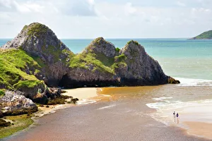
Three Cliffs Bay, Gower, Wales, United Kingdom, Europe
WorldInPrint
Full Range of Prints and Gifts in Stock

Sunset over millstones, Froggatt and Curbar Edge, Peak District National Park, Derbyshire, England, United Kingdom
WorldInPrint
Full Range of Prints and Gifts in Stock

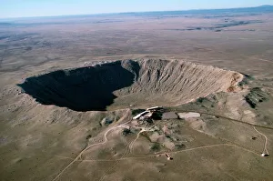
Barringer Meteor crater - 3/4 mile wide
Ardea Wildlife Pets Environment
Full Range of Prints and Gifts in Stock

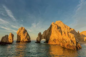
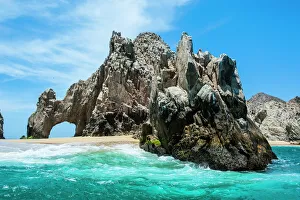
Sunrise at Lands End, Cabo San Lucas, Baja California Sur, Gulf of California, Mexico, North America
WorldInPrint
Full Range of Prints and Gifts in Stock

Lands End rock formation, Los Cabos, Baja California, Mexico, North America
WorldInPrint
Full Range of Prints and Gifts in Stock

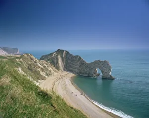
Durdle Door, Dorset, England, United Kingdom, Europe
WorldInPrint
Full Range of Prints and Gifts in Stock

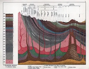
Geological crosssection through the Earths crust
Mary Evans Prints Online
Full Range of Prints and Gifts in Stock

Sunset over Baslow, Curbar Edge, Peak District National Park, Derbyshire, England, United Kingdom, Europe
WorldInPrint
Full Range of Prints and Gifts in Stock

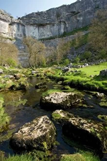
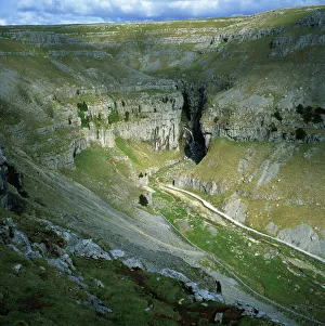
Gordale Scar, Yorkshire Dales National Park, North Yorkshire, England, United Kingdom
WorldInPrint
Full Range of Prints and Gifts in Stock

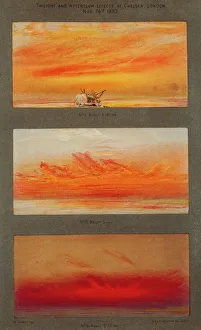
Krakatoa sunsets, 1883 artworks
Krakatoa sunsets. Artwork of the spectacular red and orange sunsets caused in London, England, by the August 1883 eruption of Krakatoa, a volcano thousands of kilometres away in Indonesia. The ash thrown up by the eruption caused sunsets like these for years afterwards. These three artworks are a sequence, showing twilight and afterglow effects at Chelsea, London, on 26 November 1883, at around: 4.40pm (top); 5pm (middle); and 6.15pm (bottom). These are among the thousands of sunset sketches made by the British artist William Ashcroft. Krakatoa's eruption prompted many reports and investigations. These artworks formed the frontispiece for The Report of the Krakatoa Committee of the Royal Society (1888)
© ROYAL ASTRONOMICAL SOCIETY/SCIENCE PHOTO LIBRARY

Start or end of The Wash, Hunstanton Cliffs, Norfolk, England, United Kingdom, Europe
WorldInPrint
Full Range of Prints and Gifts in Stock

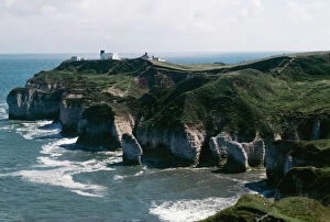
Flamborough Head, East Yorkshire, Yorkshire, England, United Kingdom, Europe
WorldInPrint
Full Range of Prints and Gifts in Stock

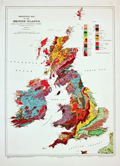
Geological map of the British Islands
Mary Evans Prints Online
Full Range of Prints and Gifts in Stock

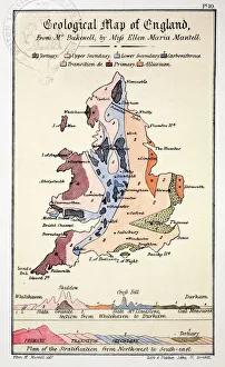
1838 Geological Map of England by Mantell
Science Photo Library
Full Range of Prints and Gifts in Stock

The Narrows, Zion Canyon National Park, USA
Fine Art Storehouse
Full Range of Prints and Gifts in Stock

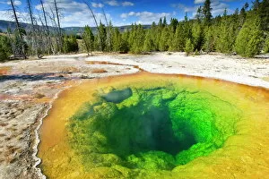
Morning Glory Pool and surrounds, Yellowstone National Park, UNESCO World Heritage Site, Wyoming
WorldInPrint
Full Range of Prints and Gifts in Stock

First geological map of Britain, 1815 C016/5683
Science Photo Library
Full Range of Prints and Gifts in Stock

Stone Mountain Park, Confederate Carving, #1 Tour Site of Atlanta, GA, Georgia
Animals Animals
Full Range of Prints and Gifts in Stock

First geological map of Britain, 1815 C016/5683
First geological map of Britain, detail of the north east coast (figure 8). This map was published in 1815 by British geologist William Smith (1769-1839). It shows rock layers (strata) in England and Wales and part of Scotland (key at lower left). Smith's work as a canal surveyor allowed him to study geology. He discovered that geological strata could be reliably identified at different places on the basis of the fossils they contained. Smith also proposed the principle of superposition, that if a strata overlays another then it was laid down at a later time. He is considered the father of English geology
© NATURAL HISTORY MUSEUM, LONDON/SCIENCE PHOTO LIBRARY

Worms Head, Rhossili, Gower Peninsula. Limestone island, linked to mainland by causeway at low tide
Ardea Wildlife Pets Environment
Full Range of Prints and Gifts in Stock

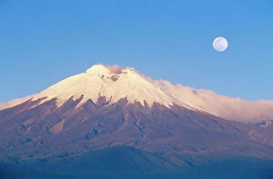
ECUADOR - Cotopaxi, seen from the west, with full moon
Ardea Wildlife Pets Environment
Full Range of Prints and Gifts in Stock

Silfra Canyon - deep fault filled with fresh water in the rift valley between the Eurasian
Nature Picture Library
Full Range of Prints and Gifts in Stock

Marcellus Shale natural gas bearing rock
Ardea Wildlife Pets Environment
Full Range of Prints and Gifts in Stock