Fraud Blocker Skip to main content

Geographical Border Collection (page 32)

"Exploring the Geographical Borders

Background imageGeographical Border Collection: Nicaragua, Relief Map

Nicaragua, Relief Map
Relief map of Nicaragua. This map was processed from elevation data

Background imageGeographical Border Collection: Haiti, Satellite Image

Haiti, Satellite Image
Satellite view of Haiti. This image was compiled from data acquired by LANDSAT satellite

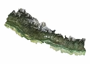
Background imageGeographical Border Collection: Nepal, Satellite Image

Nepal, Satellite Image
Satellite view of Nepal. This image was compiled from data acquired by LANDSAT satellite

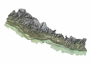
Background imageGeographical Border Collection: Nepal, Relief Map

Nepal, Relief Map
Relief map of Nepal. This map was processed from elevation data

Background imageGeographical Border Collection: Pakistan, Relief Map

Pakistan, Relief Map
Relief map of Pakistan. This map was processed from elevation data

Background imageGeographical Border Collection: Mongolia, Satellite Image

Mongolia, Satellite Image
Satellite view of Mongolia. This image was compiled from data acquired by LANDSAT satellite

Background imageGeographical Border Collection: Mongolia, Relief Map

Mongolia, Relief Map
Relief map of Mongolia. This map was processed from elevation data

Background imageGeographical Border Collection: Myanmar, Satellite Image

Myanmar, Satellite Image
Satellite view of Myanmar. This image was compiled from data acquired by LANDSAT satellite

Background imageGeographical Border Collection: Myanmar, Relief Map

Myanmar, Relief Map
Relief map of Myanmar. This map was processed from elevation data

Background imageGeographical Border Collection: Laos, Satellite Image

Laos, Satellite Image
Satellite view of Laos. This image was compiled from data acquired by LANDSAT satellite

Background imageGeographical Border Collection: Malaysia, Relief Map

Malaysia, Relief Map
Relief map of Malaysia. This map was processed from elevation data

Background imageGeographical Border Collection: Kyrgyzstan, Satellite Image

Kyrgyzstan, Satellite Image
Satellite view of Kyrgyzstan. This image was compiled from data acquired by LANDSAT satellite

Background imageGeographical Border Collection: Kyrgyzstan, Relief Map

Kyrgyzstan, Relief Map
Relief map of Kyrgyzstan. This map was processed from elevation data

Background imageGeographical Border Collection: Kazakhstan, Relief Map

Kazakhstan, Relief Map
Relief map of Kazakhstan. This map was processed from elevation data

Background imageGeographical Border Collection: Georgia, Satellite Image

Georgia, Satellite Image
Satellite view of Georgia. This image was compiled from data acquired by LANDSAT satellite

Background imageGeographical Border Collection: India, Relief Map With State Boundaries

India, Relief Map With State Boundaries
Relief map of India with state boundaries. This map was processed from elevation data

Background imageGeographical Border Collection: Japan, Relief Map With Region Boundaries

Japan, Relief Map With Region Boundaries
Satellite view of Japan. This image was compiled from data acquired by LANDSAT satellite

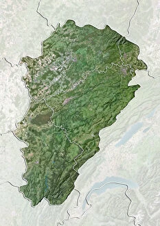
Background imageGeographical Border Collection: Region of Franche-Comte, France, True Colour Satellite Image

Region of Franche-Comte, France, True Colour Satellite Image
Satellite view of the departement of Jura in Franche-Comte, France. Home of the Jura mountains, it is bordered by Switzerland on the east

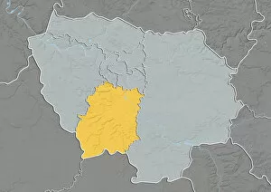
Background imageGeographical Border Collection: Departement of Seine-Saint-Denis, France, Relief Map

Departement of Seine-Saint-Denis, France, Relief Map
Relief map of the departement of Seine-Saint-Denis in Ile-de-France, France. This image was processed from elevation data

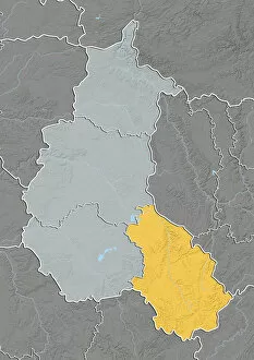
Background imageGeographical Border Collection: Region of Champagne-Ardenne, France, True Colour Satellite Image

Region of Champagne-Ardenne, France, True Colour Satellite Image
Satellite view of the departement of Aube in Champagne-Ardenne, France. The area is well adapted to wine-growing and particularly Champagne

Background imageGeographical Border Collection: Departement of Territoire de Belfort, France, Relief Map

Departement of Territoire de Belfort, France, Relief Map
Relief map of the departement of Jura in Franche-Comte, France. Home of the Jura mountains, it is bordered by Switzerland on the east. This image was processed from elevation data

Background imageGeographical Border Collection: Departement of Haute-Marne, France, Relief Map

Departement of Haute-Marne, France, Relief Map
Relief map of the departement of Aube in Champagne-Ardenne, France. The area is well adapted to wine-growing and particularly Champagne. This image was processed from elevation data

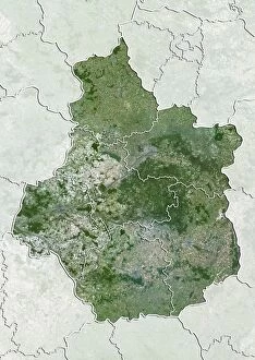
Background imageGeographical Border Collection: Region of Centre, France, True Colour Satellite Image

Region of Centre, France, True Colour Satellite Image
Satellite view of Centre, France, with regional boundaries. This image was compiled from data acquired by LANDSAT 5 & 7 satellites

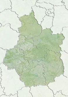
Background imageGeographical Border Collection: Departement of Indre, France, Relief Map

Departement of Indre, France, Relief Map
Relief map of Centre, France, with regional boundaries. This image was compiled from data acquired by LANDSAT 5 & 7 satellites combined with elevation data

Background imageGeographical Border Collection: Departement of Indre-et-Loire, France, True Colour Satellite Image

Departement of Indre-et-Loire, France, True Colour Satellite Image
Satellite view of the departement of Indre-et-Loire in Centre, France. It is home of numerous castles located in the Loire valley

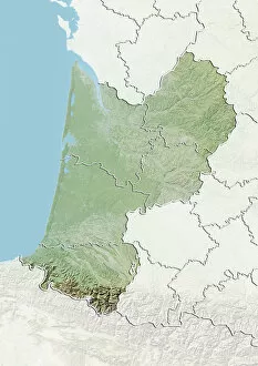
Background imageGeographical Border Collection: Departement of Pyrenees-Atlantiques, France, Relief Map

Departement of Pyrenees-Atlantiques, France, Relief Map
Relief map of the departement of Pyrenees-Atlantiques in Aquitaine, France. The southern part, along the border with Spain, is located in the Pyrenees mountain range

Background imageGeographical Border Collection: Departement of Haut-Rhin, France, True Colour Satellite Image

Departement of Haut-Rhin, France, True Colour Satellite Image
Satellite view of the departement of Haut-Rhin in Alsace, France. It is bordered by Switzerland to the south and its eastern border with Germany is the River Rhine

Background imageGeographical Border Collection: Departement of Haut-Rhin, France, Relief Map

Departement of Haut-Rhin, France, Relief Map
Relief map of the departement of Haut-Rhin in Alsace, France. It is bordered by Switzerland to the south and its eastern border with Germany is the River Rhine

Background imageGeographical Border Collection: State of North Carolina, United States, Relief Map

State of North Carolina, United States, Relief Map
Relief map of the State of North Carolina, United States. This image was compiled from data acquired by LANDSAT 5 & 7 satellites combined with elevation data

Background imageGeographical Border Collection: State of Massachusetts, United States, Relief Map

State of Massachusetts, United States, Relief Map
Relief map of the State of Massachusetts, United States. This image was compiled from data acquired by LANDSAT 5 & 7 satellites combined with elevation data

Background imageGeographical Border Collection: State of North Rhine-Westphalia, Germany, Relief Map

State of North Rhine-Westphalia, Germany, Relief Map
Relief map of the State of North Rhine-Westphalia, Germany. This image was compiled from data acquired by LANDSAT 5 & 7 satellites combined with elevation data
Background imageGeographical Border Collection: State of Mecklenburg-Vorpommern, Germany, Relief Map

State of Mecklenburg-Vorpommern, Germany, Relief Map
Relief map of the State of Mecklenburg-Vorpommern, Germany. This image was compiled from data acquired by LANDSAT 5 & 7 satellites combined with elevation data

Background imageGeographical Border Collection: Region of Provence-Alpes-Cote d Azur, France, Relief Map

Region of Provence-Alpes-Cote d Azur, France, Relief Map
Relief map of Provence-Alpes-Cote d Azur, France. This image was compiled from data acquired by LANDSAT 5 & 7 satellites combined with elevation data

Background imageGeographical Border Collection: Province of Heilongjiang, China, Relief Map

Province of Heilongjiang, China, Relief Map
Relief map of the province of Heilongjiang, China. This image was compiled from data acquired by LANDSAT 5 & 7 satellites combined with elevation data

Background imageGeographical Border Collection: Province of Newfoundland and Labrador, Canada, Relief Map

Province of Newfoundland and Labrador, Canada, Relief Map
Relief map of Newfoundland and Labrador, Canada. This image was compiled from data acquired by LANDSAT 5 & 7 satellites combined with elevation data

Background imageGeographical Border Collection: Guatemala, Relief Map

Guatemala, Relief Map
Relief map of Guatemala. This map was processed from elevation data

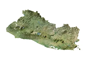
Background imageGeographical Border Collection: El Salvador, Satellite Image

El Salvador, Satellite Image
Satellite view of El Salvador. This image was compiled from data acquired by LANDSAT satellite

Background imageGeographical Border Collection: El Salvador, Relief Map

El Salvador, Relief Map
Relief map of El Salvador. This map was processed from elevation data

Background imageGeographical Border Collection: Dominican Republic, Relief Map

Dominican Republic, Relief Map
Relief map of Dominican Republic. This map was processed from elevation data

Background imageGeographical Border Collection: Costa Rica, Relief Map

Costa Rica, Relief Map
Relief map of Costa Rica. This map was processed from elevation data

Background imageGeographical Border Collection: Belize, Relief Map

Belize, Relief Map
Relief map of Belize. This map was processed from elevation data

Background imageGeographical Border Collection: Vietnam, Satellite Image

Vietnam, Satellite Image
Satellite view of Vietnam. This image was compiled from data acquired by LANDSAT satellite

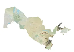
Background imageGeographical Border Collection: Uzbekistan, Relief Map

Uzbekistan, Relief Map
Relief map of Uzbekistan. This map was processed from elevation data

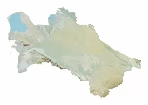
Background imageGeographical Border Collection: Turkmenistan, Relief Map

Turkmenistan, Relief Map
Relief map of Turkmenistan. This map was processed from elevation data

Background imageGeographical Border Collection: Thailand, Relief Map

Thailand, Relief Map
Relief map of Thailand. This map was processed from elevation data

Background imageGeographical Border Collection: Tajikistan, Satellite Image

Tajikistan, Satellite Image
Satellite view of Tajikistan. This image was compiled from data acquired by LANDSAT satellite

Background imageGeographical Border Collection: Thailand, Satellite Image

Thailand, Satellite Image
Satellite view of Thailand. This image was compiled from data acquired by LANDSAT satellite

Background imageGeographical Border Collection: Tajikistan, Relief Map

Tajikistan, Relief Map
Relief map of Tajikistan. This map was processed from elevation data


All Professionally Made to Order for Quick Shipping

"Exploring the Geographical Borders: From Ancient Jerusalem to Modern Singapore" Embark on a captivating journey through geographical borders as we delve into diverse landscapes and historical realms. 🌍✈️ Starting with China's intricate map, witness the vastness of this ancient civilization that has stood the test of time. πŸ‡¨πŸ‡³ Next, trace the travels of The Apostle Paul through an enchanting map engraving, unraveling his remarkable journey across lands and seas. β›ͺοΈβš“οΈ Marvel at Ancient and Modern Jerusalem's transformation over centuries, depicted in a mesmerizing map engraving that showcases its rich cultural heritage. πŸ•ŒπŸ• Navigate through Massachusetts' Middlesex Westford Vector Road Map and Barnstable Town Vector Road Map to discover charming towns nestled within picturesque landscapes. πŸ—ΊοΈπŸžοΈ Experience the vibrant city-state of Singapore, where tradition meets modernity amidst stunning skyscrapers and lush greenery. πŸ™οΈπŸŒΏ Witness nature's breathtaking artistry as first light illuminates Bonneville Salt Flats near Utah-Nevada border, revealing delicate salt crystal patterns on its surface. β˜€οΈβ„οΈ Travel eastward to Romania, a land steeped in history and natural beauty; explore its hidden gems tucked away within majestic mountainscapes. πŸ°β›°οΈ Continue your expedition with MA Essex Swampscott Vector Road Map - uncover hidden coastal treasures along Massachusetts' scenic shoreline. β›΅πŸŒŠ Uncover Antique India Map's secrets as you traverse this culturally diverse nation brimming with architectural wonders and spiritual enlightenment. πŸ•Œβœ¨ Step back in time with London and Environs Historical Map Engraving from 1892 - immerse yourself in Victorian charm while exploring England's capital city.