Fraud Blocker Skip to main content

Earth Science Collection (page 53)

Exploring the wonders of Earth through the lens of science and art

Background imageEarth Science Collection: Grand Canyon-Parashant National Monument, Arizona. USA. Burnt Canyon Point & Fort

Grand Canyon-Parashant National Monument, Arizona. USA. Burnt Canyon Point & Fort Garrett Point above Burnt Canyon. View into Grand Canyon National Park from Twin Point

Background imageEarth Science Collection: Mono Lake Tufa State Natural Reserve, California. Usa. Tufa Formations & Mono Lake

Mono Lake Tufa State Natural Reserve, California. Usa. Tufa Formations & Mono Lake
MONO LAKE TUFA STATE NATURAL RESERVE, CALIFORNIA. USA. Tufa formations & Mono Lake below Sierra Nevada. Mono Basin

Background imageEarth Science Collection: Mount St Helens, 3D satellite image

Mount St Helens, 3D satellite image. Satellite image showing the snow-capped Mount St Helens (centre), viewed from the south

Background imageEarth Science Collection: The Arctic, night-day satellite image

The Arctic, night-day satellite image
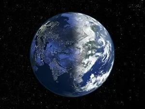
Asia, night-day satellite image. This composite image of the Earth is set against a background of stars, and is centred on the continent of Asia. North is at top

Background imageEarth Science Collection: Norwegian fjords, satellite image

Norwegian fjords, satellite image. North is at top. Water is black, snow is white and ice is blue. Glaciers (blue) are seen in several of the valleys, carrying ice down from the mountains to the sea

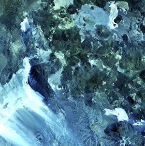
Background imageEarth Science Collection: Volcanic landscape, satellite image

Volcanic landscape, satellite image. North is at top. Desert sands and salt deposits are white, with the colour varying to light blue depending on the amount of rock content

Background imageEarth Science Collection: South America at night

South America at night
South America, satellite image

Background imageEarth Science Collection: Australia at night

Australia at night, satellite image from space

Background imageEarth Science Collection: Afghanistan

Afghanistan and surroundings, coloured satellite image. North is at top. Vegetation is green, deserts are pink, mountains are grey, water is dark blue, snow/ice is light blue, and borders are black

Background imageEarth Science Collection: North America, satellite image

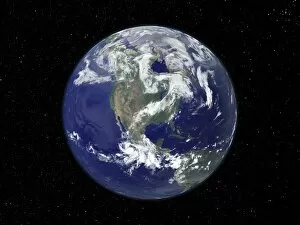
North America, satellite image
North America. Satellite image of the Earth, set against a background of stars, centred on the continent of North America. North is at top. Clouds (white) are seen in the atmosphere

Background imageEarth Science Collection: Asia at night, satellite image

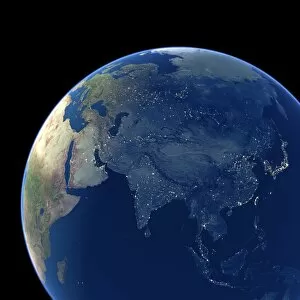
Asia at night, satellite image. City lights (yellow) show areas of dense population. Large, densely populated areas include India (lower centre), China (lower right) and Japan (right)

Background imageEarth Science Collection: Arabian Sea, satellite image

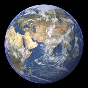
Arabian Sea, satellite image
Arabian Sea. Satellite image of the Earth centred on the Arabian Sea and western India. Clouds and Arctic ice (top) are white, oceans are blue and land is green and brown

Background imageEarth Science Collection: The Americas, satellite image

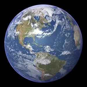
The Americas, satellite image
The Americas. Satellite image of the Earth centred on the Caribbean Islands, with North America at upper left and South America at bottom

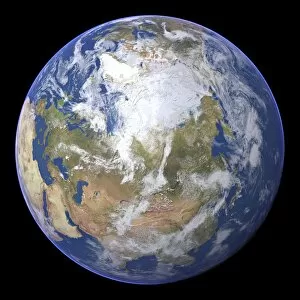
Background imageEarth Science Collection: Northern Asia and the Arctic

Northern Asia and the Arctic. Satellite image of the Earth centred on Siberia, with the North Pole at upper centre. Clouds and Arctic sea ice are white, oceans are blue and land is green and brown


All Professionally Made to Order for Quick Shipping

Exploring the wonders of Earth through the lens of science and art. 🌍✨ From the iconic 'Blue Marble 2000' image capturing our Whole Earth's beauty, to Apollo 17's breathtaking photograph showcasing our planet from above, Earth Science invites us to marvel at its grandeur. Satellite images like the British Isles or Europe at night reveal how human activity illuminates our world after sunset, while the captivating view of Whole Earth at night reminds us of our interconnectedness under a starry sky. Inspired by nature's phenomena, artists captured Krakatoa sunsets in 1883 artworks, reminding us of both its destructive power and mesmerizing beauty. Dürer's intricate world map from 1515 offers a glimpse into early cartography and humanity's quest for knowledge. The awe-inspiring 'Earthrise' photo taken from above the moon surface serves as a reminder that we are all inhabitants on this pale blue dot floating in space. Meanwhile, historical maps like the 16th Century Plan of Florence or 17th century map of Europe allow us to trace back centuries-old perspectives on geography. Delving deeper into understanding our environment, soil triangle diagrams provide insights into soil composition and its impact on agriculture and ecosystems. Earth Science takes us on an incredible journey across time and space – revealing not only the physical aspects but also fostering appreciation for our planet’s diversity and fragility.