Fraud Blocker Skip to main content

Earth Observation Collection (page 15)

"Earth Observation: Glimpses of Our Pale Blue Dot and Beyond" In the vast expanse of space

Background imageEarth Observation Collection: Mount Everest, satellite image

Mount Everest, satellite image. North is at top. Mount Everest is the worlds highest peak (8848 metres). The summit peak forms a pyramidal shape just above and right of centre

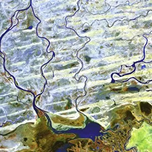
Background imageEarth Observation Collection: Saharan desert rivers, satellite image

Saharan desert rivers, satellite image. North is at top. Water is blue, desert areas are white, and fresh sediments and vegetation is orange/green

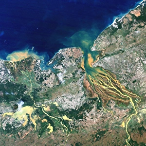
Background imageEarth Observation Collection: Betsiboka estuary, Madagascar

Betsiboka estuary, Madagascar, satellite image. 20th century deforestation has resulted in massive soil erosion, causing the waters of the estuary (centre)

Background imageEarth Observation Collection: Liverpool, UK, aerial image

Liverpool, UK, aerial image
Liverpool, UK, aerial photograph. The city of Liverpool occupies the north bank of the Mersey Estuary. Black and white regions are areas of water where no photographs were taken

Background imageEarth Observation Collection: Coventry, UK, aerial image

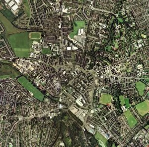
Coventry, UK, aerial image

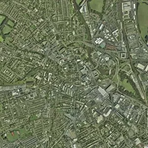
Background imageEarth Observation Collection: Bradford, UK, aerial image

Bradford, UK, aerial image

Background imageEarth Observation Collection: Cardiff, aerial photograph

Cardiff, aerial photograph
Cardiff, Wales, UK, aerial photograph. Cardiff, a port on the Bristol channel, is the largest city in Wales and its capital. It has a population of 305, 000 (2001)

Background imageEarth Observation Collection: London, aerial image

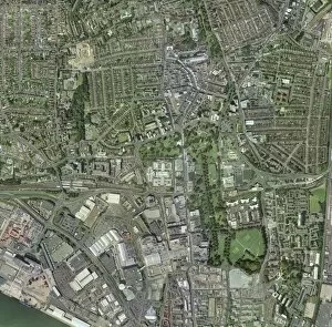
London, aerial image
London, UK. Aerial photograph of London, the capital city of the UK. The River Thames is flowing across centre

Background imageEarth Observation Collection: Edinburgh, Scotland, UK, satellite image

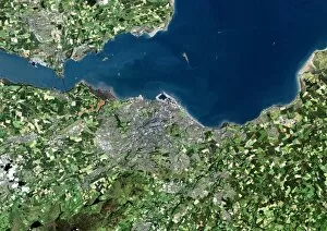
Edinburgh, Scotland, UK, satellite image. North is at top, water is blue, urban areas are grey, vegetation is green and agricultural areas are brown

Background imageEarth Observation Collection: Tropical storm Zeta, 2nd January 2006

Tropical storm Zeta, 2nd January 2006
Tropical storm Zeta over the Atlantic Ocean on 2nd January 2006. Zeta was the 27th named storm of the 2005 Atlantic hurricane season, extending the already record-breaking season yet further

Background imageEarth Observation Collection: London, aerial photograph

London, aerial photograph
London, UK. Aerial photograph of London, the capital city of England and the UK. The River Thames is flowing across centre

Background imageEarth Observation Collection: Central Park, New York, USA

Central Park, New York, USA
Central Park. Aerial photograph of Central Park in Manhatten, New York, USA

Background imageEarth Observation Collection: Greater London, satellite image

Greater London, satellite image. North is at top. Vegetation is green, water is blue and urbanised areas are grey and pink. London is the most populous city in the European Union

Background imageEarth Observation Collection: Colchester, Essex, UK, aerial photograph

Colchester, Essex, UK, aerial photograph. North is at top. Colchester is said to be the oldest recorded town in Britain, as it was mentioned as Camulodunum by the Roman writer Pliny the Elder in

Background imageEarth Observation Collection: Redditch, UK, aerial image

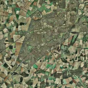
Redditch, UK, aerial image. The prominent road running from top to bottom down right is the A441, linking Birmingham to the north (top) with Studley to the south

Background imageEarth Observation Collection: Libyan Desert outcrop, satellite image

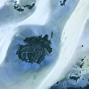
Libyan Desert outcrop, satellite image. North is at top. Sand dunes are white, less sandy areas are blue, and rock is dark grey

Background imageEarth Observation Collection: Malmo, satellite image

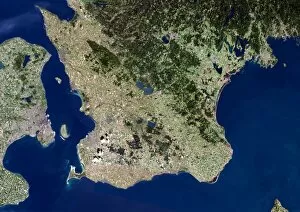
Malmo, satellite image. Water is blue, forest is dark green, agricultural areas are green and brown and urbanised areas are pink

Background imageEarth Observation Collection: Auckland, New Zealand, satellite image

Auckland, New Zealand, satellite image. North is at top, water is blue, shallow coastal areas are light blue, urban areas are grey and vegetation areas are green

Background imageEarth Observation Collection: Derby, UK, aerial image

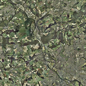
Derby, UK, aerial image. The river Derwent flows through the city down right

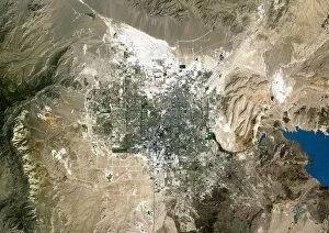
Background imageEarth Observation Collection: Las Vegas, satellite image

Las Vegas, satellite image. North is at top. Vegetation is green, desert is brown, bare soil is white and water is blue. The lake at far right is Lake Mead, the largest man-made lake in the world

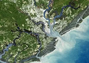
Background imageEarth Observation Collection: Charleston, South Carolina, USA

Charleston, South Carolina, USA, satellite image. North is at top, water is blue, shallow coastal areas are light blue, urban areas are grey and vegetation is green

Background imageEarth Observation Collection: Nottingham, UK, aerial image

Nottingham, UK, aerial image
Nottingham, UK, aerial photograph. Nottingham is a city in the East Midlands of England, on the River Trent. The population recorded in the 2001 Census was 270, 300
Background imageEarth Observation Collection: Gateshead, UK, aerial image

Gateshead, UK, aerial image. This town is on the south bank of the river Tyne (top left). On the north bank is the city of Newcastle
Background imageEarth Observation Collection: Plymouth, UK, aerial image

Plymouth, UK, aerial image. The city lies on Plymouth Sound (lower frame), one of the largest natural harbours in the world

Background imageEarth Observation Collection: Kingston upon Hull, UK

Kingston upon Hull, UK, aerial image. This city, on the north bank of the Humber estuary (lower right) is commonly known as Hull

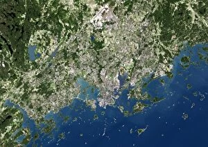
Background imageEarth Observation Collection: Helsinki, satellite image

Helsinki, satellite image. North is at top. Vegetation is green, water is blue and urbanised areas are pink and grey. Helsinki is the capital of Finland

Background imageEarth Observation Collection: Venice, satellite image

Venice, satellite image
Venice and surroundings, satellite image. North is at top. Water is blue, vegetation is green and urbanised areas are orange. The black areas are submerged land

Background imageEarth Observation Collection: Crawley, UK, aerial image

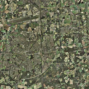
Crawley, UK, aerial image
Crawley, UK, aerial photograph. Crawley is a new town in West Sussex. To its north (top) is London Gatwick Airport, the busiest single-runway airport in the world

Background imageEarth Observation Collection: Tunbridge Wells, UK, aerial image

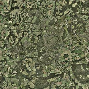
Tunbridge Wells, UK, aerial image
Tunbridge Wells, UK, aerial photograph. Properly called Royal Tunbridge Wells, this town is located in Kent, England. It was developed as a spa town from the 17th century onwards

Background imageEarth Observation Collection: Manchester, UK, aerial image

Manchester, UK, aerial image

Background imageEarth Observation Collection: Cairo, satellite image

Cairo, satellite image. North is at top. Vegetation is green, bare and barren ground is cream to white and urbanised areas are grey. Cairo (upper right) is the capital city of Egypt

Background imageEarth Observation Collection: Newcastle upon Tyne, UK, aerial image

Newcastle upon Tyne, UK, aerial image
Newcastle upon Tyne, UK, satellite image. Several bridges are seen crossing the river Tyne, linking Newcastle on the north bank (top) with Gateshead on the south bank

Background imageEarth Observation Collection: Southampton, UK, aerial image

Southampton, UK, aerial image. This is a major port city on the south coast. At bottom left is part of the river Test, which flows into Southampton Water

Background imageEarth Observation Collection: Coventry, UK

Coventry, UK, aerial photograph. Coventry is a city in the West Midlands of England. It has a population of around 300, 000

Background imageEarth Observation Collection: Oxford, UK, aerial image

Oxford, UK, aerial image. The city is home to the oldest university in the English-speaking world

Background imageEarth Observation Collection: Istanbul, satellite image

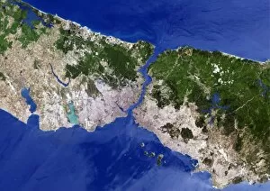
Istanbul, satellite image. North is at top. Vegetation is green, urbanised areas are pink and grey and agricultural areas are shades of brown

Background imageEarth Observation Collection: Geneva, satellite image

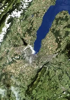
Geneva, satellite image. North is at top. Vegetation is green, brown areas are bare ground and urbanised areas are grey. Water is blue and cloud cover is white

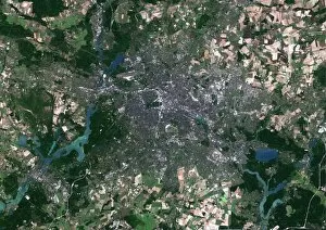
Background imageEarth Observation Collection: Berlin, Germany, satellite image

Berlin, Germany, satellite image. North is at top, water is blue, urban areas are grey, vegetation is green and agricultural areas are brown

Background imageEarth Observation Collection: Huddersfield, UK, aerial image

Huddersfield, UK, aerial image
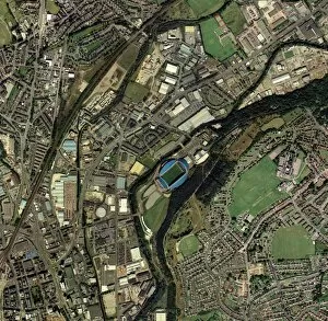
Huddersfield, Kirklees, UK, aerial image. Prominent at centre is the Galpharm Stadium, home of Huddersfield Town football club and Huddersfield Giants rugby league club

Background imageEarth Observation Collection: Dublin, Republic of Ireland

Dublin, Republic of Ireland. Satellite image. North is at top, water is blue, shallow coastal areas are light blue, agricultural areas are brown, urban areas are grey and vegetation is green

Background imageEarth Observation Collection: Abu Dhabi, United Arab Emirates

Abu Dhabi, United Arab Emirates, satellite image. North is at top, urban areas are grey, water is blue, shallow coastal waters are light blue and arid areas are pale brown

Background imageEarth Observation Collection: Brighton, UK

Brighton, UK, aerial photograph. Brighton is a city on the south coast of England. Since Victorian times it has been a seaside resort

Background imageEarth Observation Collection: Newbury, UK, aerial image

Newbury, UK, aerial image
Newbury, UK, aerial photograph. Newbury is a town in Berkshire, England. The settlement dates to the 11th century. The town has a population of some 32, 000 (2004)

Background imageEarth Observation Collection: Tokyo, satellite image

Tokyo, satellite image
Tokyo Bay, satellite image. North is at top. Water is blue, vegetation is green, bare ground is yellow and urbanised areas are pink and grey

Background imageEarth Observation Collection: Stoke-on-Trent, UK, aerial image

Stoke-on-Trent, UK, aerial image. The city of Stoke merges with the town of Newcastle under Lyme to its west (left)

Background imageEarth Observation Collection: Basingstoke, UK

Basingstoke, UK, aerial photograph. Basingstoke is a medium-sized modern town in the county of Hampshire. Its main employers are in the financial services industry

Background imageEarth Observation Collection: Repairing Earth

Repairing Earth. Conceptual computer artwork of scaffolding on the Earth. This could represent repairing the worldwide environment

Background imageEarth Observation Collection: Al Wadj Bank, Red Sea, from space

Al Wadj Bank, Red Sea, from space
Al Wadj Bank, Red Sea, Saudi Arabia, from space. This is a coral reef system that includes islands (brown), seagrass meadows (dark green) and sand plains (beige)


All Professionally Made to Order for Quick Shipping

"Earth Observation: Glimpses of Our Pale Blue Dot and Beyond" In the vast expanse of space, Voyager 1 captured an awe-inspiring image that forever changed our perspective. The iconic "Pale Blue Dot" photograph revealed Earth as a tiny speck in the cosmic ocean, reminding us of our interconnectedness on this magnificent planet. Zooming in closer, we witness the intricate details of human achievements. The Wimbledon tennis complex stands out amidst the bustling cityscape of London, UK. From high above, a satellite image showcases the British Isles with its lush green landscapes and rugged coastlines – a testament to nature's beauty. As night falls, lights illuminate cities across Europe like constellations on Earth's canvas. A mesmerizing satellite image captures the brilliance of UK at night from space – a tapestry woven by millions living their lives under starry skies. Expanding further into darkness reveals Europe at night; clusters of light representing vibrant metropolises and quiet towns alike. And then there it is - an astonishing view showcasing our entire planet bathed in nocturnal glow - Whole Earth at night seen from space. Venturing beyond terrestrial boundaries, Tenerife emerges through a satellite lens – its volcanic terrain contrasting against azure waters surrounding this Spanish island paradise. The International Space Station floats gracefully in orbit around Earth during 2008 – humanity's outpost where astronauts conduct research while gazing back upon their home planet with wonderment. From afar, another satellite image depicts Earth from space - swirling clouds dance over continents and oceans; an ever-changing masterpiece painted by atmospheric currents and weather patterns. Closer to home once more, Scotland's stunning landscape unfolds beneath us through yet another captivating satellite image. Majestic mountains blend seamlessly with lochs and glens creating breathtaking scenery that captivates all who behold it.