Fraud Blocker Skip to main content

Cartography Collection (page 6)

Cartography, the art of mapmaking, has a rich history that spans centuries and continents

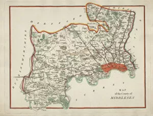
Background imageCartography Collection: Antique Map of Middlesex

Antique Map of Middlesex
An antique map of Middlesex engraved by R. Scott and published by Archibald Fullarton and Co. Glasgow. c. 1833. folding copy, later hand colouring

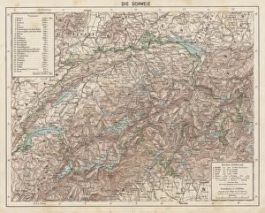
Background imageCartography Collection: Switzerland, Topographic map, published in 1881

Switzerland, Topographic map, published in 1881
Topographic map of Switzerland. Facsimile, published in 1881

Background imageCartography Collection: map of new zealand 1883

map of new zealand 1883
map of new zealand and tasmania inset- 1883

Background imageCartography Collection: Map of the Ancient World according to Homer

Map of the Ancient World according to Homer
Vintage engraving of a Map of the Ancient World according to Homer. Homer is best known as the author of the Iliad and the Odyssey

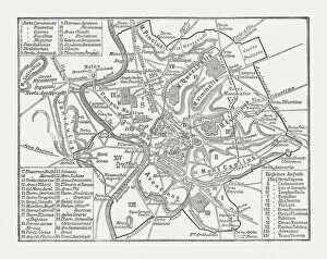
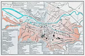
Background imageCartography Collection: City map of ancient Rome, wood engraving, published in 1878

City map of ancient Rome, wood engraving, published in 1878
City map of ancient Rome at the time of Emperor Augustus (63 BC - 14 AD). Woodcut engraving, published in 1878

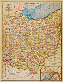
Background imageCartography Collection: 1883 Ohio State Map

1883 Ohio State Map

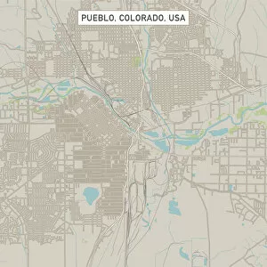
Background imageCartography Collection: Pueblo Colorado US City Street Map

Pueblo Colorado US City Street Map
Vector Illustration of a City Street Map of Pueblo, Colorado, USA. Scale 1:60, 000. All source data is in the public domain. U.S

Background imageCartography Collection: Boulder Colorado US City Street Map

Boulder Colorado US City Street Map
Vector Illustration of a City Street Map of Boulder, Colorado, USA. Scale 1:60, 000. All source data is in the public domain. U.S

Background imageCartography Collection: Minneapolis Minnesota US City Street Map

Minneapolis Minnesota US City Street Map
Vector Illustration of a City Street Map of Minneapolis, Minnesota, USA. Scale 1:60, 000. All source data is in the public domain. U.S

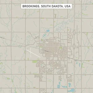
Background imageCartography Collection: Brookings South Dakota US City Street Map

Brookings South Dakota US City Street Map
Vector Illustration of a City Street Map of Brookings, South Dakota, USA. Scale 1:60, 000. All source data is in the public domain. U.S

Background imageCartography Collection: Waterloo Iowa US City Street Map

Waterloo Iowa US City Street Map
Vector Illustration of a City Street Map of Waterloo, Iowa, USA. Scale 1:60, 000. All source data is in the public domain. U.S

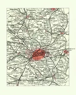
Background imageCartography Collection: Antique map, Manchester, England, 19th Century

Antique map, Manchester, England, 19th Century
Vintage engraving of a Antique map, Manchester, England, 19th Century

Background imageCartography Collection: Margate Kent UK City Street Map

Margate Kent UK City Street Map
Vector Illustration of a City Street Map of Margate, Kent, UK. Included files are EPS (v10) and Hi-Res JPG. Data courtesy from Ordnance Survey: VectorMap District https

Background imageCartography Collection: Crawley West Sussex UK City Street Map

Crawley West Sussex UK City Street Map
Vector Illustration of a City Street Map of Crawley, West Sussex, UK. Included files are EPS (v10) and Hi-Res JPG. Data courtesy from Ordnance Survey: VectorMap District https

Background imageCartography Collection: Medford Oregon US City Street Map

Medford Oregon US City Street Map
Vector Illustration of a City Street Map of Medford, Oregon, USA. Scale 1:60, 000. All source data is in the public domain. U.S

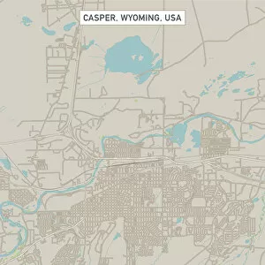
Background imageCartography Collection: Casper Wyoming US City Street Map

Casper Wyoming US City Street Map
Vector Illustration of a City Street Map of Casper, Wyoming, USA. Scale 1:60, 000. All source data is in the public domain. U.S

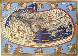
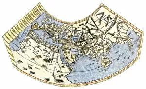
Background imageCartography Collection: Ptolemy World map, 1467

Ptolemy World map, 1467. Found in the collection of Biblioteka Narodowa, Warszawa

Background imageCartography Collection: Christopher Columbus at La Rabida, 1872. By F. Adam

Christopher Columbus at La Rabida, 1872. By F. Adam
Christopher Columbus (1451-1506). Genoese navigator. Columbus at the Convent of La Rabida, 1872. Copy by F. Adam of the homonimous painting by Eduardo Cano de la Pena. Maritime Museum. Barcelona

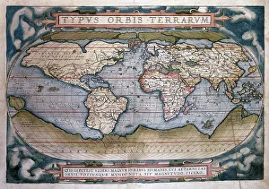
Background imageCartography Collection: Theatrum Orbis Terrarum (Theatre of the World) by Abraham Or

Theatrum Orbis Terrarum (Theatre of the World) by Abraham Or
Theatrum Orbis Terrarum (Theatre of the World). Is considered to be the first true modern atlas. Written by Abraham Ortelius and originally printed on May 20, 1570, in Antwerp. World Map

Background imageCartography Collection: Cluj Napoca, romania map

Cluj Napoca, romania map
Illustration of a Cluj Napoca, romania map

Background imageCartography Collection: Map of Texas 1855

Map of Texas 1855
System of Geography for the use of schools by Sidney E. Morse - Published by Harper & Brothers - New York 1855

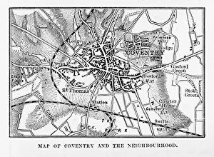
Background imageCartography Collection: Map of Coventry in Warwickshire, England Victorian Engraving, 1840

Map of Coventry in Warwickshire, England Victorian Engraving, 1840
Very Rare, Beautifully Illustrated Antique Engraving of Map of Coventry in Warwickshire, England Victorian Engraving, 1840. Source: Original edition from my own archives

Background imageCartography Collection: New Hampshire 1852 Map

New Hampshire 1852 Map

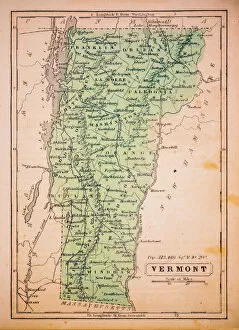
Background imageCartography Collection: Vermont 1852 Map

Vermont 1852 Map

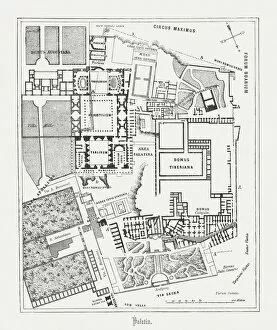
Background imageCartography Collection: Floor plan of Palatine Hill in Rome, published in 1878

Floor plan of Palatine Hill in Rome, published in 1878
Floor plan of the archaeological remains of the Palatine Hill in Rome. The Palatine Hill (Latin: Mons Palatinus, Italian: Monte Palatino)

Background imageCartography Collection: Vintage Map of the World

Vintage Map of the World
Vintage map of the world from 1837

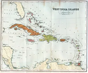
Background imageCartography Collection: Vintage map of the West India Islands 1860s

Vintage map of the West India Islands 1860s

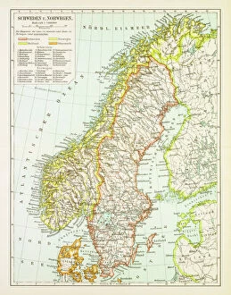
Background imageCartography Collection: Map of Sweden and Norway 1897

Map of Sweden and Norway 1897
Map of Sweden and Norway

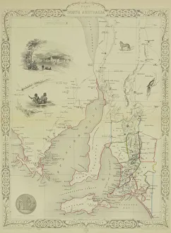
Background imageCartography Collection: Antique map of South Australia with vignettes

Antique map of South Australia with vignettes

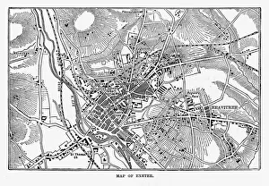
Background imageCartography Collection: Map of Exeter in Devon, England Victorian Engraving, 1840

Map of Exeter in Devon, England Victorian Engraving, 1840
Very Rare, Beautifully Illustrated Antique Engraving of Map of Exeter in Devon, England Victorian Engraving, 1840. Source: Original edition from my own archives

Background imageCartography Collection: Trieste Italy map 1895

Trieste Italy map 1895
Meyers Konversations-Lexikon. Ein Nachschlagewerk des allgemeinen Wissens, 5th edition 17 volumes Bibliographisches Institut - Leipzig 1895-1897

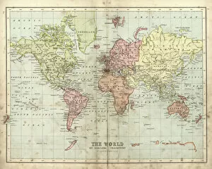
Background imageCartography Collection: Antique map of the world, 1873

Antique map of the world, 1873
Vintage engraving of a Victorian Antique map of the world, 1873

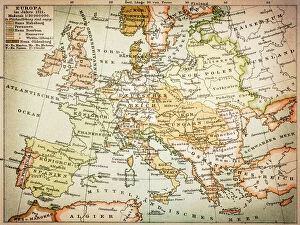
Background imageCartography Collection: Map of Europe 1721

Map of Europe 1721

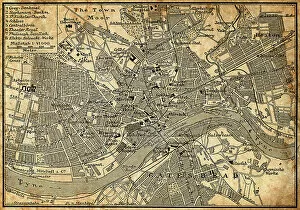
Background imageCartography Collection: Map of Newcastle Upon Tyne

Map of Newcastle Upon Tyne
Antique illustration of old Newcastle Upon Tyne map

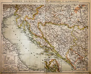
Background imageCartography Collection: Bosnia, dalmatia, istria, croatia, slavonia

Bosnia, dalmatia, istria, croatia, slavonia
Antique illustration of a Bosnia, dalmatia, istria, croatia, slavonia map

Background imageCartography Collection: A plan of Cowden Furnace with pond and land in the parish of Cowden in Kent belonging

A plan of Cowden Furnace with pond and land in the parish of Cowden in Kent belonging to Mr William Bowen surveyed by John Bowra in 1748

Background imageCartography Collection: EXPL2A-00014

EXPL2A-00014
Ptolemys map of the world, illustrating a concept of the flat earth. Hand-colored 19th-century woodcut reproduction

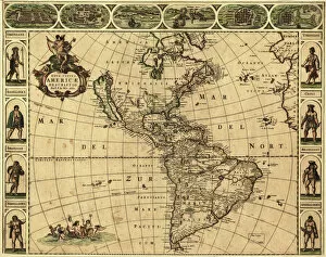
Background imageCartography Collection: Map of the Americas, 1660

Map of the Americas, 1660
17th century map of the Americas. Published in Amsterdam in 1660, this map by the Dutch cartographer Frederick de Witt (1630-1706) shows the geography of the Americas

Background imageCartography Collection: Antique map - Queensland Australia

Antique map - Queensland Australia
" Antique map from 1864 of showing Queensland, Australia"

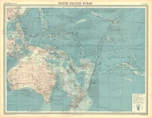
Background imageCartography Collection: Map of the South Pacific Ocean

Map of the South Pacific Ocean. Map showing the Philippines, Indonesia, Papua New Guinea, Australia and New Zealand, and Pacific islands. Plate 102 from The Times Atlas

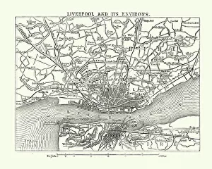
Background imageCartography Collection: Map of Liverpool and its environs, England, 1870s

Map of Liverpool and its environs, England, 1870s
Vintage engraving of Map of Liverpool and its environs, England, 1870s, 19th Century

Background imageCartography Collection: Tyler Texas US City Street Map

Tyler Texas US City Street Map
Vector Illustration of a City Street Map of Tyler, Texas, USA. Scale 1:60, 000. All source data is in the public domain. U.S

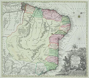
Background imageCartography Collection: antique, archival, brasil, brasilia, brazil, cartography, cartouche, colored, decorative

antique, archival, brasil, brasilia, brazil, cartography, cartouche, colored, decorative, distribution, districts, elegant, geography, historic, indigenous peoples, key, legend, location, map

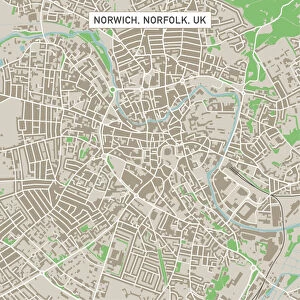
Background imageCartography Collection: Norwich Norfolk UK City Street Map

Norwich Norfolk UK City Street Map
Vector Illustration of a City Street Map of Norwich, Norfolk, UK. Included files are EPS (v10) and Hi-Res JPG. Data courtesy from Ordnance Survey: VectorMap District https

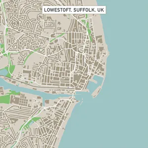
Background imageCartography Collection: Lowestoft Suffolk UK City Street Map

Lowestoft Suffolk UK City Street Map
Vector Illustration of a City Street Map of Lowestoft, Suffolk, UK. Included files are EPS (v10) and Hi-Res JPG. Data courtesy from Ordnance Survey: VectorMap District https

Background imageCartography Collection: Bury St Edmunds Suffolk UK City Street Map

Bury St Edmunds Suffolk UK City Street Map
Vector Illustration of a City Street Map of Bury St Edmunds, Suffolk, UK. Included files are EPS (v10) and Hi-Res JPG. Data courtesy from Ordnance Survey: VectorMap District https

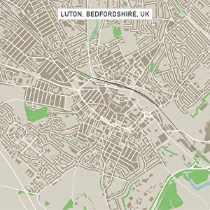
Background imageCartography Collection: Luton Bedfordshire UK City Street Map

Luton Bedfordshire UK City Street Map
Vector Illustration of a City Street Map of Luton, Bedfordshire, UK. Included files are EPS (v10) and Hi-Res JPG. Data courtesy from Ordnance Survey: VectorMap District https

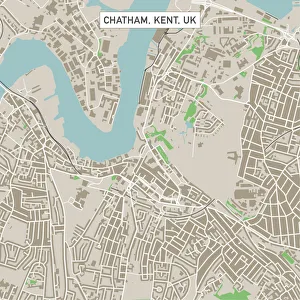
Background imageCartography Collection: Chatham Kent UK City Street Map

Chatham Kent UK City Street Map
Vector Illustration of a City Street Map of Chatham, Kent, UK. Included files are EPS (v10) and Hi-Res JPG. Data courtesy from Ordnance Survey: VectorMap District https


All Professionally Made to Order for Quick Shipping

Cartography, the art of mapmaking, has a rich history that spans centuries and continents. From ancient civilizations to modern times, maps have been used as powerful tools for navigation, exploration, and understanding the world around us. One notable example of early the Hereford Mappa Mundi, created in 1285 by Richard de Bello. This intricate map depicts a combination of geographical features and religious symbolism, offering a unique perspective on medieval Europe. Another remarkable piece is Al-Idrisi's world map from 1154. Crafted during the Islamic Golden Age, this map showcases an impressive level of detail and accuracy for its time. It highlights trade routes and important cities across Africa, Asia, and Europe. For those interested in British history, antique maps provide fascinating insights into different eras. An antique map depicting Britain under the Anglo Saxons offers a glimpse into the island's past before Norman conquests reshaped its landscape. Similarly captivating is an antique map showcasing the vast Roman Empire at its height. This visual representation allows us to trace their expansive territories across Europe, North Africa, and parts of Asia. Moving forward in time brings us to more recent cartographic works like the Map of Cyprus published in 1880. This detailed depiction captures not only geographical features but also cultural landmarks that define this Mediterranean island nation. Maps are not limited to landmasses alone; they can also illustrate political boundaries on larger scales. A Political Map of Africa provides valuable information about countries' borders and capital cities within this diverse continent. On a smaller scale but equally significant is California Highway Map—a practical tool for travelers navigating through one of America's most populous states with ease. Exploring historical empires leads us to delve into Byzantine history with a Map of the Byzantine Empire from the 9th century—showcasing Constantinople as its vibrant heart while encompassing regions stretching from Greece to Egypt.