Fraud Blocker Skip to main content

Barn Close Collection

"Barn Close: Discover the Charm of Rural Living" Escape the hustle and bustle of city life and immerse yourself in the tranquil beauty of Barn Close

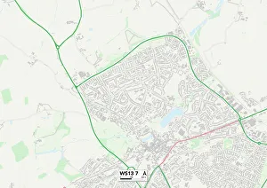
Background imageBarn Close Collection: Lichfield WS13 7 Map

Lichfield WS13 7 Map
Postcode Sector Map of Lichfield WS13 7

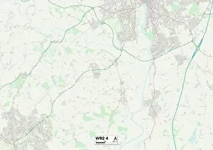
Background imageBarn Close Collection: Worcester WR2 4 Map

Worcester WR2 4 Map
Postcode Sector Map of Worcester WR2 4

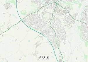
Background imageBarn Close Collection: Staffordshire ST17 9 Map

Staffordshire ST17 9 Map
Postcode Sector Map of Staffordshire ST17 9

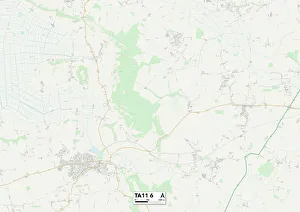
Background imageBarn Close Collection: South Somerset TA11 6 Map

South Somerset TA11 6 Map
Postcode Sector Map of South Somerset TA11 6

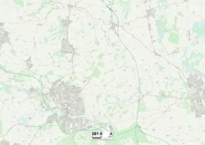
Background imageBarn Close Collection: Bassetlaw S81 0 Map

Bassetlaw S81 0 Map
Postcode Sector Map of Bassetlaw S81 0

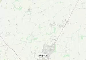
Background imageBarn Close Collection: Vale of White Horse OX12 0 Map

Vale of White Horse OX12 0 Map
Postcode Sector Map of Vale of White Horse OX12 0

Background imageBarn Close Collection: Crawley RH10 7 Map

Crawley RH10 7 Map
Postcode Sector Map of Crawley RH10 7

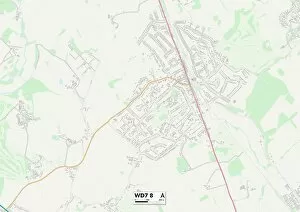
Background imageBarn Close Collection: Hertsmere WD7 8 Map

Hertsmere WD7 8 Map
Postcode Sector Map of Hertsmere WD7 8

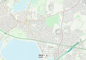
Background imageBarn Close Collection: Spelthorne TW15 1 Map

Spelthorne TW15 1 Map
Postcode Sector Map of Spelthorne TW15 1

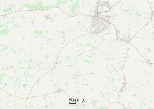
Background imageBarn Close Collection: Somerset TA18 8 Map

Somerset TA18 8 Map
Postcode Sector Map of Somerset TA18 8

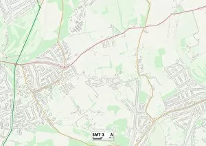
Background imageBarn Close Collection: Reigate and Banstead SM7 3 Map

Reigate and Banstead SM7 3 Map
Postcode Sector Map of Reigate and Banstead SM7 3

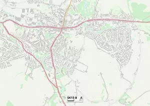
Background imageBarn Close Collection: High Peak SK13 8 Map

High Peak SK13 8 Map
Postcode Sector Map of High Peak SK13 8

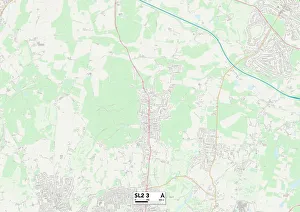
Background imageBarn Close Collection: South Buckinghamshire SL2 3 Map

South Buckinghamshire SL2 3 Map
Postcode Sector Map of South Buckinghamshire SL2 3

Background imageBarn Close Collection: Wiltshire SN14 0 Map

Wiltshire SN14 0 Map
Postcode Sector Map of Wiltshire SN14 0

Background imageBarn Close Collection: Wiltshire SN13 9 Map

Wiltshire SN13 9 Map
Postcode Sector Map of Wiltshire SN13 9

Background imageBarn Close Collection: Bracknell Forest RG12 2 Map

Bracknell Forest RG12 2 Map
Postcode Sector Map of Bracknell Forest RG12 2

Background imageBarn Close Collection: Cannock Chase WS15 1 Map

Cannock Chase WS15 1 Map
Postcode Sector Map of Cannock Chase WS15 1

Background imageBarn Close Collection: Berkshire RG17 9 Map

Berkshire RG17 9 Map
Postcode Sector Map of Berkshire RG17 9

Background imageBarn Close Collection: Ealing UB5 6 Map

Ealing UB5 6 Map
Postcode Sector Map of Ealing UB5 6

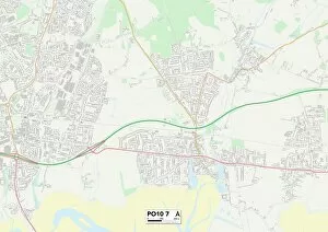
Background imageBarn Close Collection: Hampshire PO10 7 Map

Hampshire PO10 7 Map
Postcode Sector Map of Hampshire PO10 7

Background imageBarn Close Collection: Somerset TA4 2 Map

Somerset TA4 2 Map
Postcode Sector Map of Somerset TA4 2

Background imageBarn Close Collection: Somerset TA3 7 Map

Somerset TA3 7 Map
Postcode Sector Map of Somerset TA3 7

Background imageBarn Close Collection: Somerset TA5 1 Map

Somerset TA5 1 Map
Postcode Sector Map of Somerset TA5 1

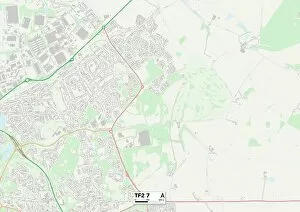
Background imageBarn Close Collection: Telford and Wrekin TF2 7 Map

Telford and Wrekin TF2 7 Map
Postcode Sector Map of Telford and Wrekin TF2 7

Background imageBarn Close Collection: Berkshire RG30 3 Map

Berkshire RG30 3 Map
Postcode Sector Map of Berkshire RG30 3

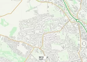
Background imageBarn Close Collection: Chesterfield S41 8 Map

Chesterfield S41 8 Map
Postcode Sector Map of Chesterfield S41 8

Background imageBarn Close Collection: South Buckinghamshire SL6 7 Map

South Buckinghamshire SL6 7 Map
Postcode Sector Map of South Buckinghamshire SL6 7

Background imageBarn Close Collection: Plymouth PL7 5 Map

Plymouth PL7 5 Map
Postcode Sector Map of Plymouth PL7 5

Background imageBarn Close Collection: South Hams PL21 9 Map

South Hams PL21 9 Map
Postcode Sector Map of South Hams PL21 9

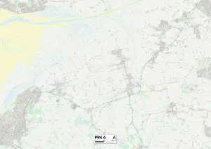
Background imageBarn Close Collection: Fylde PR4 6 Map

Fylde PR4 6 Map
Postcode Sector Map of Fylde PR4 6

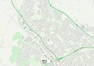
Background imageBarn Close Collection: Peterborough PE4 6 Map

Peterborough PE4 6 Map
Postcode Sector Map of Peterborough PE4 6

Background imageBarn Close Collection: Peterborough PE7 3 Map

Peterborough PE7 3 Map
Postcode Sector Map of Peterborough PE7 3

Background imageBarn Close Collection: South Kesteven PE6 9 Map

South Kesteven PE6 9 Map
Postcode Sector Map of South Kesteven PE6 9

Background imageBarn Close Collection: Huntingdonshire PE26 2 Map

Huntingdonshire PE26 2 Map
Postcode Sector Map of Huntingdonshire PE26 2

Background imageBarn Close Collection: Monmouthshire NP4 8 Map

Monmouthshire NP4 8 Map
Postcode Sector Map of Monmouthshire NP4 8

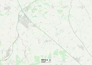
Background imageBarn Close Collection: South Northamptonshire NN12 6 Map

South Northamptonshire NN12 6 Map
Postcode Sector Map of South Northamptonshire NN12 6

Background imageBarn Close Collection: Oxford OX2 9 Map

Oxford OX2 9 Map
Postcode Sector Map of Oxford OX2 9

Background imageBarn Close Collection: Cherwell OX5 1 Map

Cherwell OX5 1 Map
Postcode Sector Map of Cherwell OX5 1

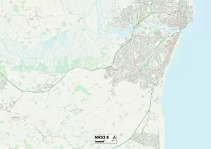
Background imageBarn Close Collection: Suffolk NR33 8 Map

Suffolk NR33 8 Map
Postcode Sector Map of Suffolk NR33 8

Background imageBarn Close Collection: Huntingdonshire PE29 1 Map

Huntingdonshire PE29 1 Map
Postcode Sector Map of Huntingdonshire PE29 1

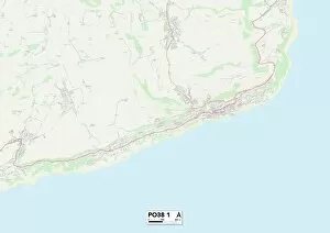
Background imageBarn Close Collection: Isle of Wight PO38 1 Map

Isle of Wight PO38 1 Map
Postcode Sector Map of Isle of Wight PO38 1

Background imageBarn Close Collection: Hampshire PO14 4 Map

Hampshire PO14 4 Map
Postcode Sector Map of Hampshire PO14 4

Background imageBarn Close Collection: Crawley RH11 9 Map

Crawley RH11 9 Map
Postcode Sector Map of Crawley RH11 9

Background imageBarn Close Collection: Norfolk NR31 9 Map

Norfolk NR31 9 Map
Postcode Sector Map of Norfolk NR31 9

Background imageBarn Close Collection: Norfolk NR13 4 Map

Norfolk NR13 4 Map
Postcode Sector Map of Norfolk NR13 4

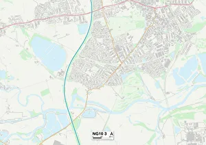
Background imageBarn Close Collection: Erewash NG10 3 Map

Erewash NG10 3 Map
Postcode Sector Map of Erewash NG10 3

Background imageBarn Close Collection: Nottingham NG6 7 Map

Nottingham NG6 7 Map
Postcode Sector Map of Nottingham NG6 7

Background imageBarn Close Collection: Northampton NN4 5 Map

Northampton NN4 5 Map
Postcode Sector Map of Northampton NN4 5


All Professionally Made to Order for Quick Shipping

"Barn Close: Discover the Charm of Rural Living" Escape the hustle and bustle of city life and immerse yourself in the tranquil beauty of Barn Close. Nestled in various locations across England, from Lichfield to Somerset, this collection of idyllic barn conversions offers a unique opportunity to experience country living at its finest. Located on the outskirts of Lichfield (WS13 7 Map), Worcester (WR2 4 Map), Staffordshire (ST17 9 Map), Bassetlaw (S81 0 Map), Vale of White Horse (OX12 0 Map) and Hertsmere (WD7 8 Map), each Barn Close property is surrounded by picturesque landscapes that showcase nature's splendor. Wake up to breathtaking views, with rolling hills or lush meadows stretching as far as the eye can see. Step inside these beautifully restored barns and be greeted by a harmonious blend of rustic charm and modern comfort. Exposed wooden beams, stone walls, and cozy fireplaces create an inviting atmosphere that instantly makes you feel at home. The interiors are thoughtfully designed with spacious layouts, ensuring ample room for relaxation or entertaining loved ones. Whether you're seeking a peaceful retreat or an active lifestyle, it has something for everyone. Explore nearby walking trails in Spelthorne (TW15 1 Map) or Somerset (TA18 8 Map) where you can reconnect with nature while breathing in fresh countryside air. For those who enjoy golfing or horse riding, South Somerset (TA11 6 Map) offers excellent facilities just a short distance away. Conveniently located within easy reach of major towns such as Reigate and Banstead (SM7 3 Map), High Peak (SK13 8Map), and South Buckinghamshire (SL2-3Map); residents have access to a range of amenities including shopping centers, restaurants, and cultural attractions without sacrificing their rural lifestyle.