
62990 Collection
"Journey through Time: Exploring 62990's Enigmatic Collection" Step into a world of captivating history with 62990's remarkable collection


All Professionally Made to Order for Quick Shipping
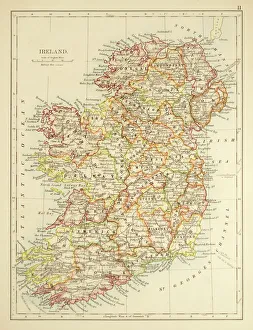
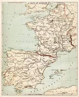
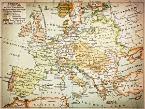
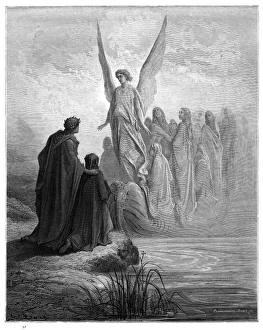
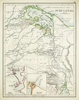
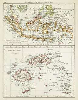
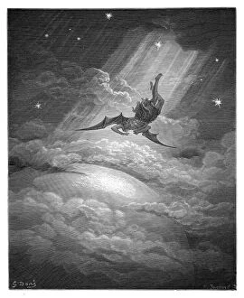
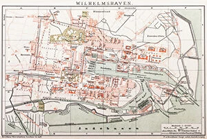
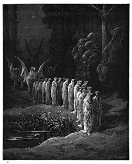
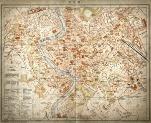
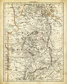
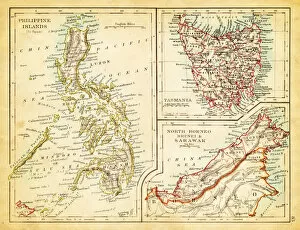
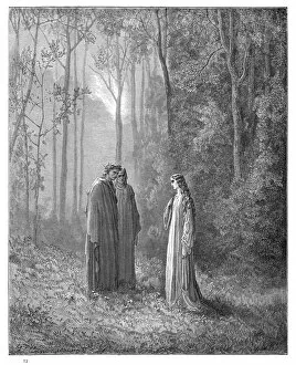
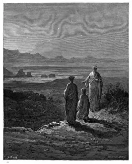
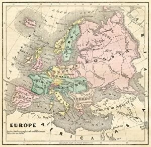
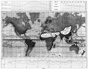
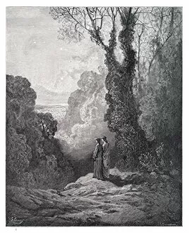
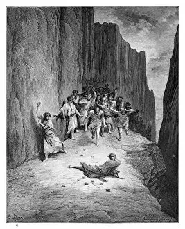
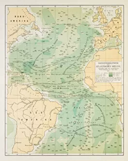
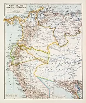
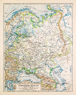
"Journey through Time: Exploring 62990's Enigmatic Collection" Step into a world of captivating history with 62990's remarkable collection. This assortment takes us on an enchanting voyage, beginning in the late 19th century with a Map of Ireland from 1897, revealing the island's intricate landscapes and hidden treasures. Continuing our expedition, we encounter a Map of Spain and France from 1869, showcasing the borders that have witnessed countless tales of triumph and turmoil. As we delve deeper into mythology, Charon the ferryman engraving emerges to guide souls across the River Styx. The allure intensifies as we uncover a Map of Berlin dating back to 1895; its streets whisper stories of resilience and transformation. Our journey then takes an unexpected turn towards darkness with Satan and Beelzebub engraving—a chilling depiction that leaves us pondering ancient legends. Venturing further back in time, we stumble upon a mesmerizing Map of Europe from 1721—tracing kingdoms long forgotten but forever etched in history's annals. Mathieu Albert Lotter's World map from Augsburg in 1778 unveils uncharted territories awaiting exploration by intrepid adventurers. Our path leads us to witness haunting scenes within Arrival of Souls Purgatory engraving (1870), reminding us of life's transient nature. The vastness unfolds before our eyes as we explore Siberia through a meticulously detailed map crafted in 1895—an invitation to discover untamed wildernesses. A trio awaits our arrival: Fiji, Sumatra, Borneo—three exotic lands captured on one extraordinary map from 1897. We marvel at their diversity while contemplating distant cultures thriving amidst lush landscapes. As our odyssey nears its end, Suez Canal appears on another map dated back to 1897—a testament to human ingenuity connecting continents through this engineering marvel.