
1682 1803 Collection
"Exploring the Seas: A Glimpse into Maritime Cartography


All Professionally Made to Order for Quick Shipping
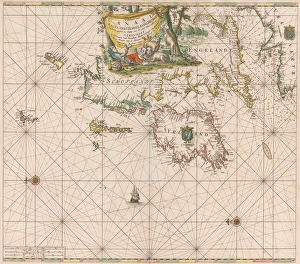
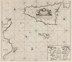
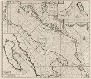
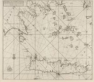
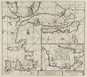
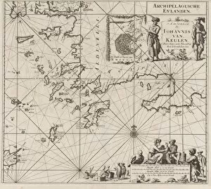
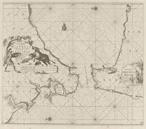
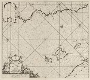
"Exploring the Seas: A Glimpse into Maritime Cartography, 1682-1803" Step aboard a voyage through time as we delve into the captivating world of sea charts and maps from 1682 to 1803. These intricate navigational tools were not only essential for sailors but also served as windows into the vast expanses of the oceans. Jan Luyken and Johannes van Keulen collaborated on a remarkable sea chart, meticulously depicting the coasts of England, Scotland, and Ireland. Their artistry brought these lands to life on paper, guiding mariners through treacherous waters with utmost precision. An anonymous artist crafted another masterpiece—a sea chart showcasing Sardinia's enchanting island and North Africa's rugged coastline. This map offered seafarers an invaluable resource for safe passage in uncharted territories. Moving southward, our journey takes us to Italy and Sicily. Jan Luyken's expertise shines through in his detailed depiction of part of Italy's southwest coast and Sicily's northern shores. The map reveals hidden coves and ports that beckon adventurers seeking new horizons. Further east lies Crete—the southern jewel of the Aegean Sea—captured by an anonymous cartographer under Johannes van Keulen (I)'s guidance. This exquisite sea chart unravels Crete's secrets while aiding sailors in navigating its azure waters. Jan Luyken returns with yet another masterpiece—an exploration of Greece’s western Aegean coastlines. His skillful rendering invites us to discover ancient ruins nestled along picturesque shores—a testament to Greece’s rich history intertwined with its maritime heritage. The northeastern Aegean Sea comes alive on a map created by an unknown artist alongside depictions of the Sea of Marmara—an important trade route connecting Europe and Asia. This treasure trove guides seafarers amidst countless islands dotting these storied waters.