

Framed Prints From Science Photo Library
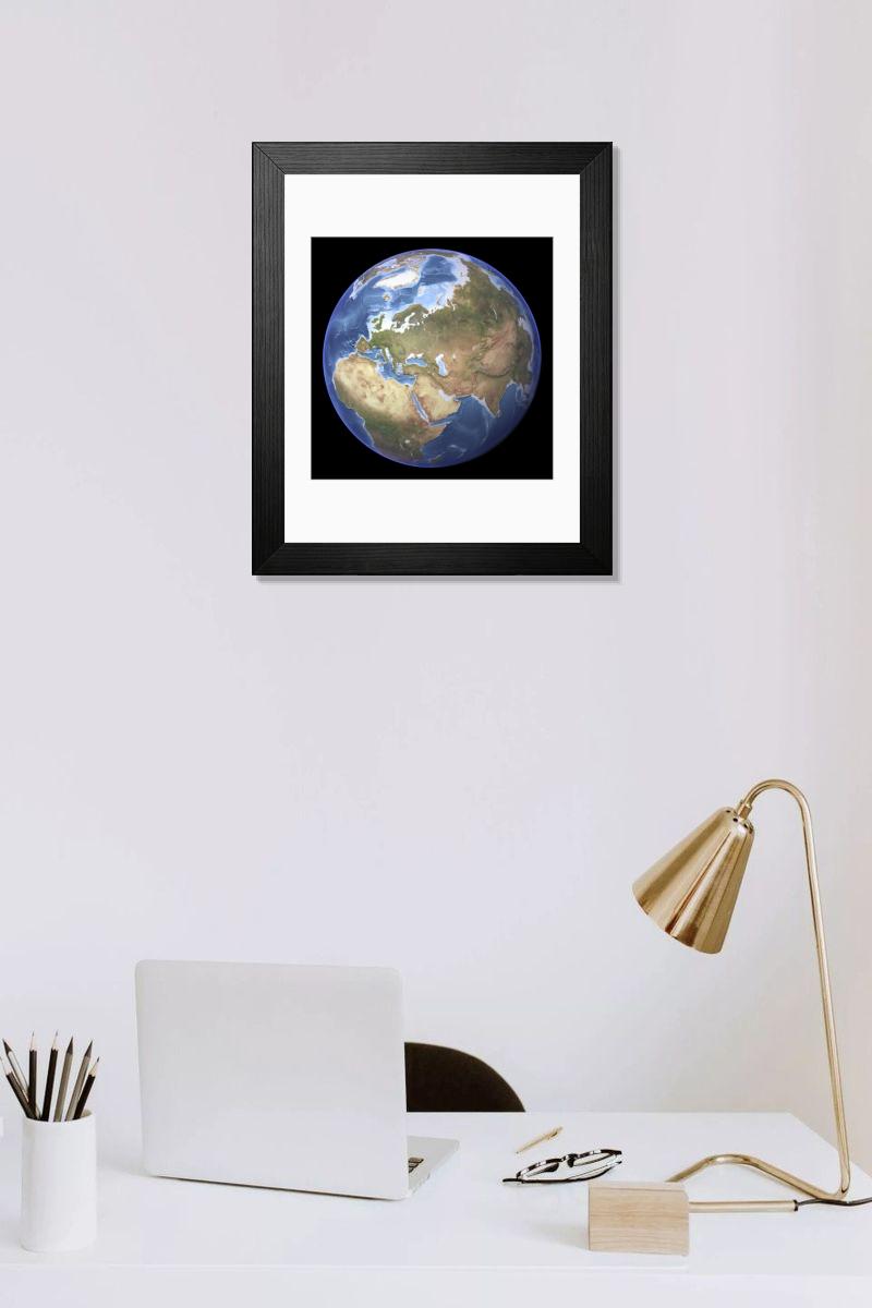
Framed Print of Eurasia, topographic map
Eurasia, topographic map. This map is centred on Russia, with Europe at centre left and East Asia at right. The North Pole (upper left), with Greenland shown in white, and Africa (lower left) are also seen. The seabed depth varies from shallow (light blue) on the continental shelves, to deep ocean basins (dark blue). Highlands and lowlands of the continents are shown as ridges and flat areas. Topographic and bathymetric data is usually gathered by using aerial and satellite imagery combined with radar and sonar mapping. Science Photo Library features Science and Medical images including photos and illustrations. © PLANETARY VISIONS LTD/SCIENCE PHOTO LIBRARY
Artwork Licensed From Science Photo Library (PVL)
Your chosen combination is quickly and professionally made to order, our shipping page has more details
If you are not entirely happy with your items, simply return them to us within 30 days for a replacement or full refund. Please read our full returns policy.
Media ID 1705043
Editors Comments
Discover the wonders of geography with our Framed Prints. This topographic map of Eurasia, sourced from Science Photo Library, shows intricate details of Europe and Asia. With Russia at the centre, this map beautifully displays the landscapes and geographical features of both continents. The North Pole is depicted in the upper left corner, with Greenland clearly visible in white. Bring the beauty of cartography into your home or office with this elegant and informative Framed Print.
This artwork is also available as...
Photo Prints - Discover the beauty of our world with Media Storehouse's range of Photographic Prints. This image, "Eurasia, Topographic Map" from Science Photo Library, offers a perspective on our planet. With Russia at the heart, Europe to the left, and East Asia to the right, this topographic map transports you to a world of intricate detail and geographical wonders. Experience the contrasts of our diverse continents, from the icy expanse of the North Pole to the colors of Europe and Asia. Bring this mesmerizing piece of art into your home or office and let it inspire your imagination every day.
Greetings Cards - Discover the wonders of our diverse world with Media Storehouse's collection of Science-themed Greeting Cards. This striking design features "Eurasia, Topographic Map" by Science Photo Library. Delve into the intricacies of geography as you explore Europe and Asia, with Russia at the heart of this topographic representation. Perfect for the map enthusiast, scientist, or anyone who appreciates the beauty of our planet. Send a thoughtful message with a touch of intellectual curiosity. Order now and let the adventure begin!
Photo Mugs - Bring your adventures to life with our Photo Mugs! This design features a topographic map of Eurasia, expertly captured by Science Photo Library. With Russia at the heart of the map, Europe to the left and East Asia to the right, and the North Pole gracefully nestled in the upper left corner, this mug is the perfect companion for your morning brew or afternoon tea. Each sip brings you closer to the wonders of our diverse and world. Order yours today and start exploring the globe, one mug at a time!
Poster Prints - Discover the detail of our Eurasia Topographic Map Poster Print. This representation of the continent, sourced from the Science Photo Library, places Russia at the heart of the map with Europe to the left and East Asia to the right. From the rugged terrain of the Ural Mountains to the vast expanse of the Arctic Circle, every contour and feature is brought to life in crisp, high-definition detail. Ideal for the home or office, this poster is a conversation starter and an addition to any space.
Metal Prints - Discover the beauty of our world with Media Storehouse's Metal Prints featuring the Eurasia Topographic Map by Science Photo Library. This image shows the intricacies of the landmasses of Europe and Asia, with Russia at the heart, Europe to the left, and East Asia to the right. The North Pole, with its icy expanse and Greenland in pristine white, adds an awe-inspiring touch to this geographical masterpiece. Our Metal Prints bring out the rich details of the terrain, making it an addition to any room in your home or office. Order yours today and let the adventure begin!
Canvas Prints - Discover the beauty of geography with Media Storehouse's Canvas Prints. Our prints bring the intricate details of this Eurasia Topographic Map by Science Photo Library to life. With Russia at the heart of this image, Europe to the left, and East Asia to the right, this print transports you on a journey across continents. The North Pole, with Greenland in pristine white, adds an element of mystery and wonder. Elevate your home or office décor with this piece of wall art.
Cushions - Wrap yourself in the beauty of our world. Inspired by the vast landscapes and diverse cultures of Eurasia, our cushions bring a touch of global wonder to your home. This topographic map, centred on Russia with Europe at centre left and East Asia at right, is now a cozy companion for you to snuggle up with.
Mouse Mats - Explore the world from your desk with our mouse mats. Inspired by topographic maps, each one transports you to a new destination. From the vast expanse of Eurasia, centred on Russia with Europe and East Asia in perfect harmony, every detail is meticulously crafted to bring a touch of adventure to your workspace.
Tote Bags - Elevate your daily essentials with our Tote Bags featuring a Eurasia topographic map by Science Photo Library. Perfect for travel enthusiasts and geography buffs, these reusable bags showcase the intricate details of Europe, Russia, and East Asia in detail. Ideal for shopping, work or school.
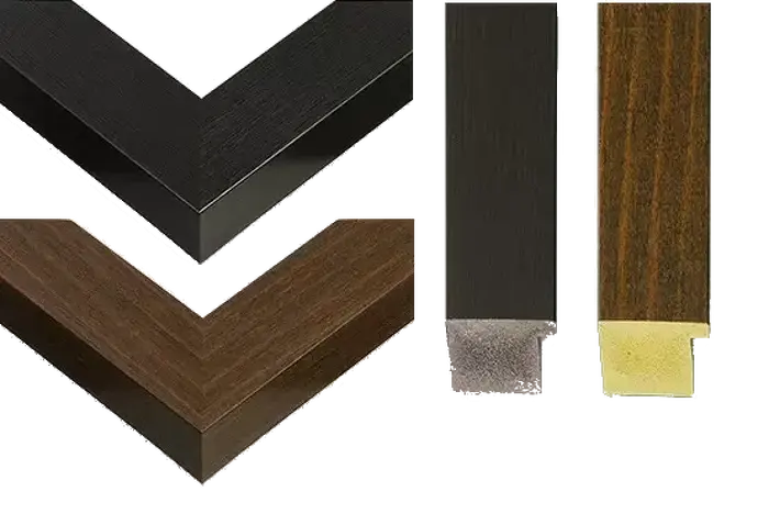
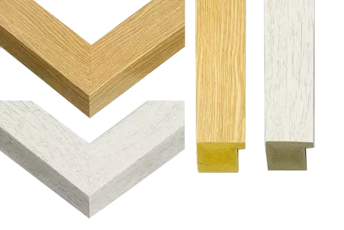
Modern Frame 14"x12" (36x31cm)
Ready to Hang Contemporary Framed Prints adds style, protection, and a polished touch to your space - effortlessly.
Your artwork will be printed as shown in the preview. To adjust please select Edit Printed Image under the Buy button
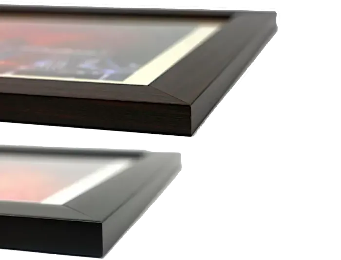
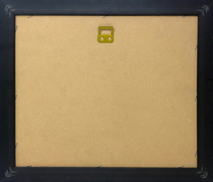
Wood effect frame, card mounted, 10x8 fade resistant photo print. Overall outside dimensions 14x12 inches (36x31cm). Environmentally and ozone friendly, 40mm wide x 15mm Polycore® moulding has the look of real wood, is durable and light and easy to hang. Biodegradable and made with non-chlorinated gases (no toxic fumes) it is efficient; producing 100 tons of polystyrene can save 300 tons of trees! Prints are glazed with lightweight, shatterproof, optical clarity acrylic (providing the same general protection from the environment as glass). The back is stapled hardboard with a sawtooth hanger attached. Note: measurements provided are estimated outer dimensions, which include both the image and the frame. While we aim to keep sizing consistent, exact dimensions may vary slightly due to differences in print size or production requirements, which may result in a variation in the overall size (up to approximately 2.5cm (1"))
These are individually made so all sizes are approximate
Estimated Image Size (if not cropped) is 19.3cm x 19.3cm (7.6" x 7.6")
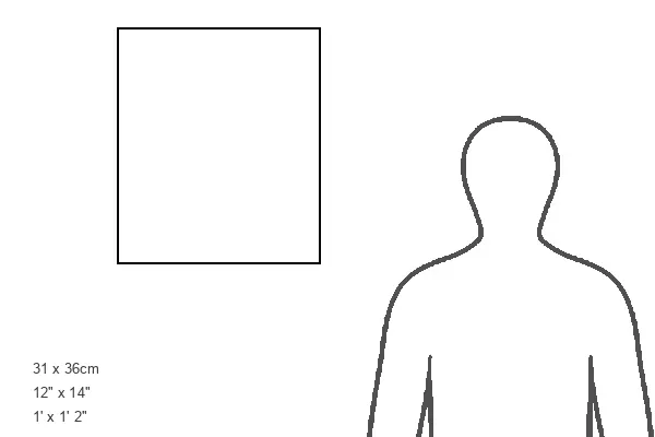
Estimated Product Size is 31cm x 36cm (12.2" x 14.2")