Map of biblical locations, 18th century Print




Framed Prints From Science Photo Library
This artwork is available as
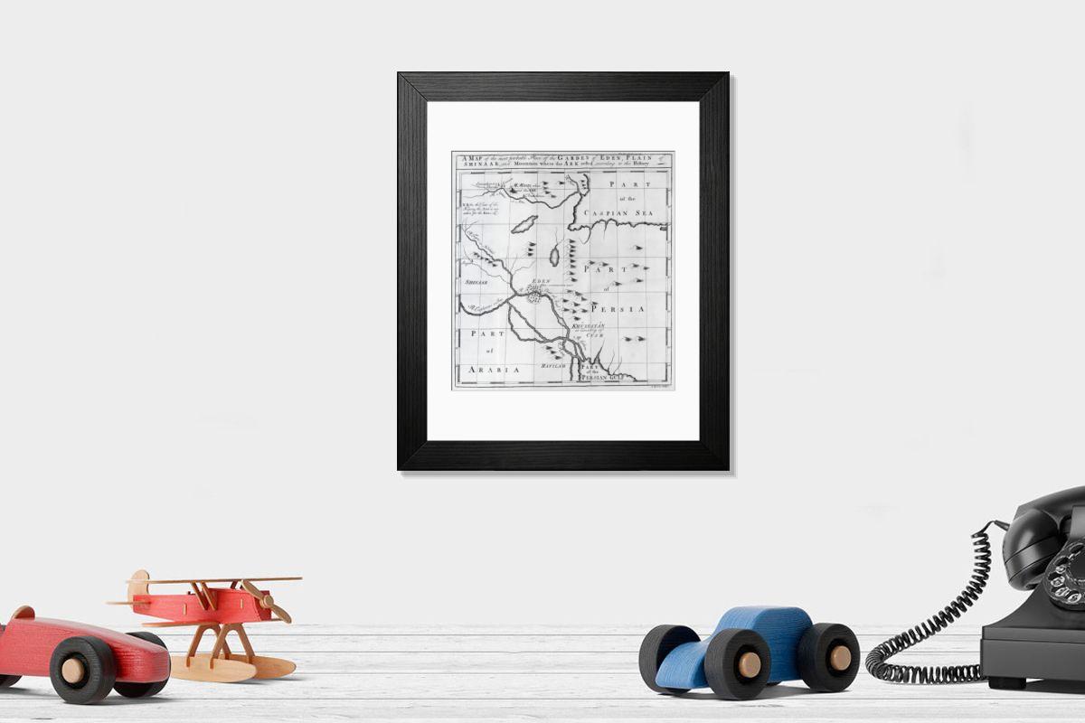
Framed Print of Map of biblical locations, 18th century C013 / 7822
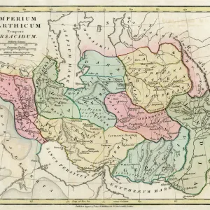
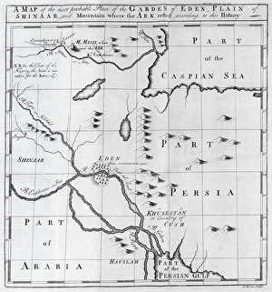
Map of biblical locations. 18th-century map showing the suggested Middle Eastern location of the Garden of Eden, the Plain of Shinaar, and Mount Ararat (where the ark came to rest after the deluge). Here, Mount Ararat is called Mount Masis. Eden is on the Shat-al-Arab river, between the Euphrates, Tigris, Gihon and Pishon rivers (all named in the biblical Genesis story). Also shown are parts of Persia (modern-day Iran), Arabia, the Persian Gulf, and the Caspian Sea. This map is from the multi-volume collection titled An universal history, from the earliest account of time to the present, published in London, UK, between 1736 and 1744. Science Photo Library features Science and Medical images including photos and illustrations. © MIDDLE TEMPLE LIBRARY/SCIENCE PHOTO LIBRARY
Artwork Licensed From Science Photo Library (MTL)
Your chosen combination is quickly and professionally made to order - Shipping & Delivery Details
If you are not entirely happy with your items, simply return them to us within 30 days for a replacement or full refund - 30 Day Returns
Media ID 9200009
Editors' Comments
Discover the rich history of biblical locations with our Framed Prints. This 18th-century map, sourced from the Middle Temple Library and available through Science Photo Library, invites you on a journey to explore the suggested Middle Eastern locations of the Garden of Eden, the Plain of Shinar, and Mount Ararat - the legendary resting place of Noah's Ark after the great deluge. Each print is meticulously framed to preserve and enhance the intricate details of the map, making it an addition to any home or office space. Delve into the past and bring the stories of the Bible to life with this piece of historical cartography.
A beautifully detailed 18th-century map brings to life the ancient landscapes of the Middle East.
This artwork is also available as...
Photo Prints - Discover the historical depth of biblical stories with our Photographic Prints. This 18th-century masterpiece from the Middle Temple Library, titled "Map of biblical locations, C013 / 7822" by Science Photo Library, takes you on a journey through time. The map intricately depicts the Middle Eastern locations believed to be associated with the Garden of Eden, the Plain of Shinar, and Mount Ararat - the legendary resting place of Noah's Ark after the flood. Add this mesmerizing piece to your collection and bring the rich history of the Bible to life in your home or office.
Greetings Cards - Discover the rich history and biblical significance of ancient lands with our range of Greetings Cards. This beautifully detailed 18th-century map, sourced from the Middle Temple Library and Science Photo Library, shows the suggested Middle Eastern locations of the Garden of Eden, the Plain of Shinaar, and Mount Ararat - the resting place of Noah's Ark after the Great Flood. Each card in this collection is a thoughtful and way to express your sentiments, making them perfect for special occasions or simply to brighten someone's day. Let the intrigue of history and the power of connection come alive with every card you send.
Photo Mugs - Add a touch of history and spirituality to your daily routine with Media Storehouse's Photo Mugs. Featuring the "Map of Biblical Locations, 18th century C013 / 7822" from the Middle Temple Library/Science Photo Library, these mugs showcase the intriguing 18th-century interpretation of Middle Eastern biblical sites, including the Garden of Eden, the Plain of Shinar, and Mount Ararat. Each mug holds your favorite beverage, making it an excellent conversation starter and a gift idea for history and faith enthusiasts.
Poster Prints - Discover the rich history and biblical significance of ancient locations with our range of Poster Prints. This 18th-century map, sourced from the Middle Temple Library and Science Photo Library, shows the proposed Middle Eastern sites of the Garden of Eden, the Plain of Shinar, and Mount Ararat - the resting place of Noah's Ark after the great deluge. Bring history and faith to life in your home or office with this intriguing and educational poster print.
Metal Prints - Discover the rich history and biblical significance of ancient Middle Eastern lands with our Metal Prints. This 18th-century map, sourced from the Middle Temple Library/Science Photo Library (C013 / 7822), illustrates the suggested locations of the Garden of Eden, the Plain of Shinar, and Mount Ararat - the legendary resting place of Noah's Ark after the Great Flood. Each Metal Print is meticulously crafted with colors and exceptional detail, ensuring a intriguing addition to your home or office decor. Bring history to life and ignite your imagination with Media Storehouse's collection of antique maps.
Canvas Prints - Discover the rich history and biblical significance of ancient locations with our Canvas Prints. This 18th-century map, sourced from the Middle Temple Library and Science Photo Library (C013 / 7822), shows the suggested Middle Eastern locations of the Garden of Eden, the Plain of Shinar, and Mount Ararat - the legendary resting place of Noah's Ark after the Great Flood. Add a touch of history and spiritual depth to your home or office decor with this intricately detailed canvas print.
Cushions - Cushions featuring vintage maps of biblical locations, such as the Garden of Eden and Mount Ararat. Perfect for history buffs and travelers alike, these decorative Cushions add a touch of cultural heritage to any room, creating a cozy atmosphere that's both stylish and educational.
Mouse Mats - Step into the ancient world with our mouse mats, featuring historical maps like this 18th-century depiction of biblical locations. From the Garden of Eden to Mount Ararat, every detail transports you to a bygone era. Perfect for anyone who loves history and wants to bring a touch of the past into their workspace.
Tote Bags - Elevate your daily essentials with our Tote Bags featuring a vintage 18th-century map of biblical locations, showcasing the suggested Middle Eastern location of the Garden of Eden and Mount Ararat. Perfect for book lovers, history enthusiasts, and travelers alike. Durable and spacious Tote Bags ideal for grocery shopping, work commutes, or weekend getaways.
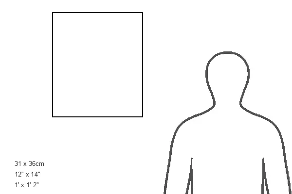
Modern 14"x12" (36x31cm)
Ready to Hang Contemporary Framed Prints adds style, protection, and a polished touch to your space - effortlessly.
Your artwork will be printed as shown in the preview. To adjust please select Print Options under the Buy button
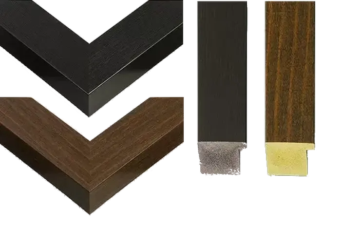
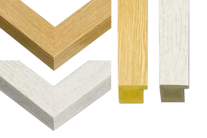
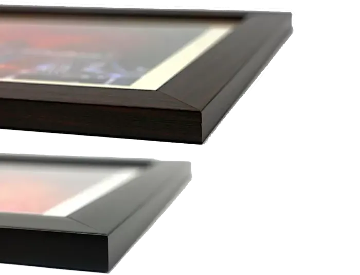
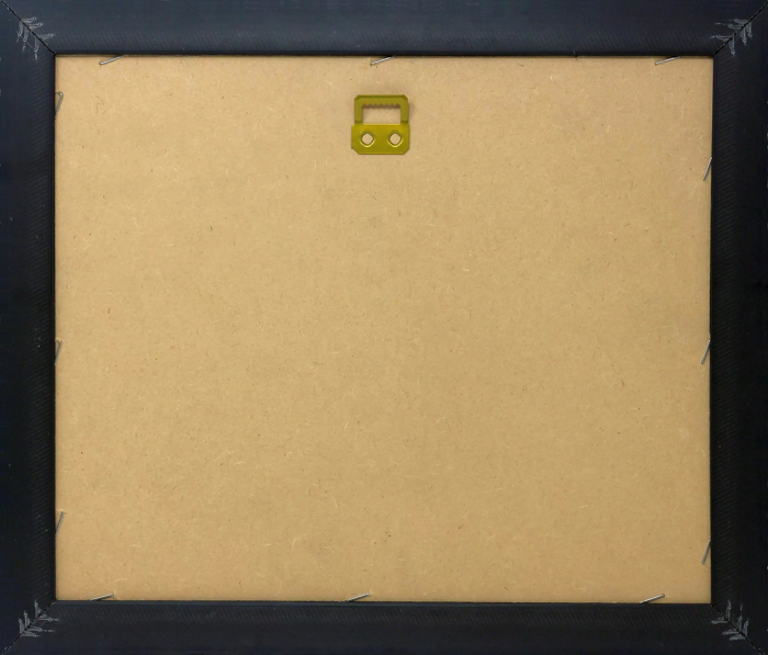
Wood effect frame, card mounted, 10x8 fade resistant photo print. Overall outside dimensions 14x12 inches (36x31cm). Environmentally and ozone friendly, 40mm wide x 15mm Polycore® moulding has the look of real wood, is durable and light and easy to hang. Biodegradable and made with non-chlorinated gases (no toxic fumes) it is efficient; producing 100 tons of polystyrene can save 300 tons of trees! Prints are glazed with lightweight, shatterproof, optical clarity acrylic (providing the same general protection from the environment as glass). The back is stapled hardboard with a sawtooth hanger attached. Note: measurements provided are estimated outer dimensions, which include both the image and the frame. While we aim to keep sizing consistent, exact dimensions may vary slightly due to differences in print size or production requirements, which may result in a variation in the overall size (up to approximately 2.5cm (1"))
These are individually made so all sizes are approximate
Estimated Image Size (if not cropped) is 19.3cm x 20.7cm (7.6" x 8.1")
Estimated Product Size is 31cm x 36cm (12.2" x 14.2")
Features in These Collections
Home > Maps and Charts > Early Maps