
Framed Prints From Mary Evans
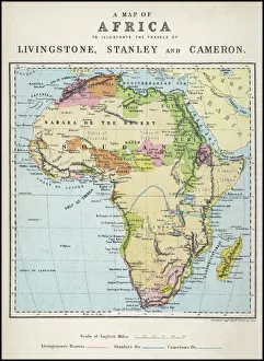
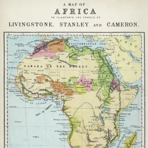
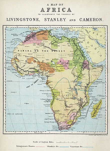
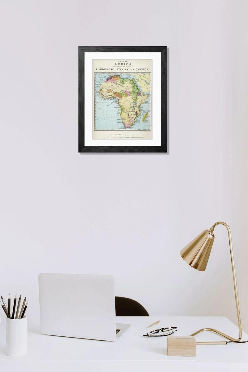
Framed Print of Map of Africa illustrating travels of explorers
A map of Africa which illustrates the travels of the explorers Livingstone, Stanley and Cameron. Mary Evans Picture Library makes available wonderful images created for people to enjoy over the centuries. © Mary Evans Picture Library
Artwork Licensed From Mary Evans
Your chosen combination is quickly and professionally made to order, our shipping page has more details
If you are not entirely happy with your items, simply return them to us within 30 days for a replacement or full refund. Please read our full returns policy.
Media ID 4307227
Editors Comments
Discover the rich history of African exploration with our Framed Prints. This map, sourced from Mary Evans Prints Online, beautifully illustrates the journeys of renowned explorers David Livingstone, Henry Morton Stanley, and Camille Perez Sayas Camille Perez Sayas. Each detailed line and hue brings the continent's intricate geography and explorers' tales to life. Perfect for the home or office, this framed print adds an element of adventure and history to any space. Embrace the spirit of discovery with Media Storehouse's Framed Prints.
This artwork is also available as...
Photo Prints - Discover the rich history of African exploration with our Photo Prints, featuring a detailed map illustrating the travels of renowned explorers Livingstone, Stanley and Cameron. Perfect for decorating your home or office, these prints showcase vintage cartography and make gifts for history enthusiasts and travel lovers alike.
Greetings Cards - Discover the rich history and adventurous spirit of Africa with our range of greeting cards. Featuring a map illustration from Mary Evans Prints Online, this design highlights the legendary journeys of great explorers David Livingstone, Henry Morton Stanley, and Pierre Savorgnan de Brazza. Each card is a thoughtful and way to express your sentiments, bringing a touch of history and adventure to any occasion. With attention to detail, these cards are sure to impress and delight.
Photo Mugs - Personalize your home with Photo Mugs featuring a vintage map of Africa, illustrating the epic journeys of famous explorers Livingstone, Stanley and Cameron. Perfect for travel enthusiasts and history buffs, these Photo Mugs make thoughtful gifts or decorations for any room in your house.
Poster Prints - Discover the rich history of African exploration with our Map of Africa poster print. This piece, sourced from Mary Evans Prints Online, illustrates the journeys of notable explorers David Livingstone, Henry Morton Stanley, and Pierre Savorgnan de Brazza. Ideal for history buffs, educators, or anyone with a passion for geography and adventure, this rights managed print adds an intriguing touch to any room. Bring the stories of these intrepid explorers to life in your home or office.
Metal Prints - Embark on a journey through history with our Metal Print featuring a vintage map of Africa. This intricately detailed illustration, sourced from Mary Evans Prints Online, highlights the explorations of legendary figures David Livingstone, Henry Morton Stanley, and Pierre Savorgnan de Brazza. Each metal print is meticulously crafted, bringing the rich textures and colors of the map to life. Perfect for adventurous souls and history enthusiasts, this piece adds an element of intrigue and charm to any space.
Canvas Prints - Add a touch of adventure to your home with our Canvas Prints featuring the Map of Africa illustrating the travels of famous explorers Livingstone, Stanley and Cameron. Perfect for history buffs and travel enthusiasts, these Canvas Prints are printed on durable canvas material, making them a decorative piece for any room.
Cushions - Cushions featuring a vintage Map of Africa illustrating the travels of famous explorers such as Livingstone, Stanley and Cameron. Perfect for history buffs and travel enthusiasts, these decorative Cushions add a touch of adventure to any room's furniture while providing comfort and style.
Mouse Mats - Embark on a journey of discovery with every click. mouse mats bring the world to your fingertips, featuring maps that tell the stories of history's greatest explorers. From Livingstone's treks through uncharted territories to Stanley's epic quests and Cameron's pioneering feats, let these iconic routes inspire you to chart your own path.
Tote Bags - Elevate your travels with our Tote Bags featuring a vintage map of Africa, showcasing the journeys of renowned explorers Livingstone, Stanley, and Cameron. Perfect for adventure-seekers and history enthusiasts alike, these durable Tote Bags are ideal for grocery shopping, beach trips, or everyday use while promoting cultural awareness.
Image Download - Download a map of Africa illustrating the travels of explorers Livingstone, Stanley and Cameron. This image is available for personal use under a rights-managed license from Mary Evans. The map provides historical insight into African exploration, highlighting key expeditions and milestones achieved by these renowned explorers in the continent's vast territories.
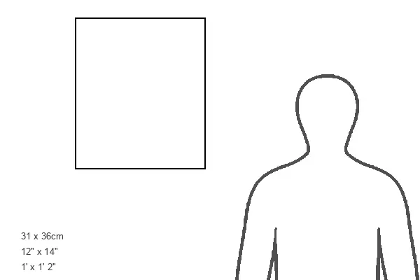
Modern Frame 14"x12" (36x31cm)
Ready to Hang Contemporary Framed Prints adds style, protection, and a polished touch to your space - effortlessly.
Your artwork will be printed as shown in the preview. To adjust please select Edit Printed Image under the Buy button
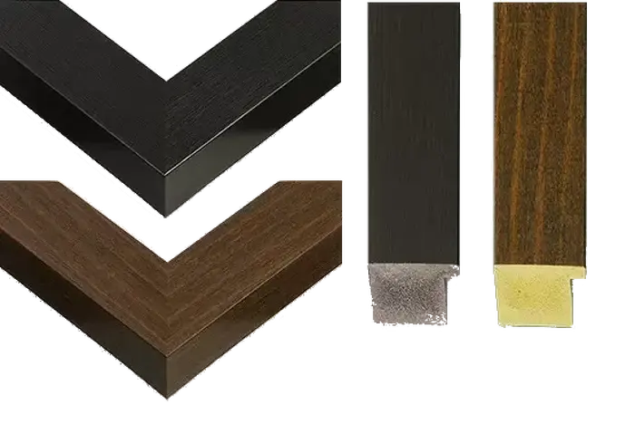
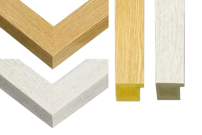
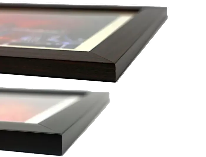
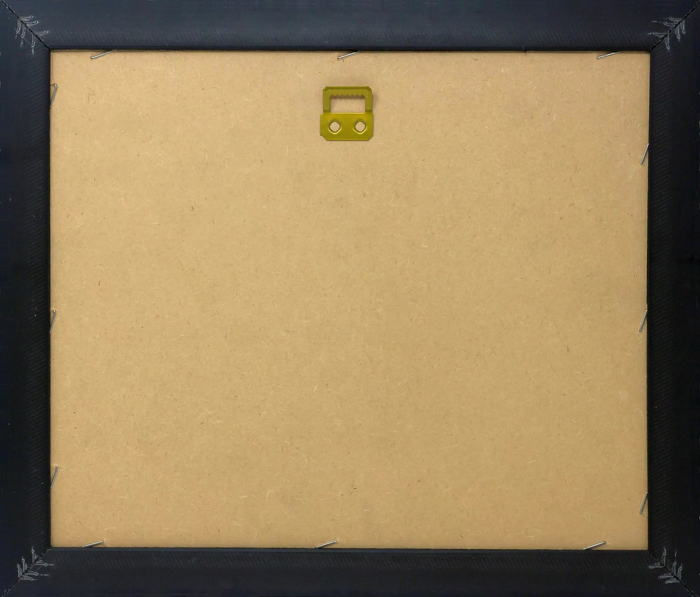
Wood effect frame, card mounted, 10x8 fade resistant photo print. Overall outside dimensions 14x12 inches (36x31cm). Environmentally and ozone friendly, 40mm wide x 15mm Polycore® moulding has the look of real wood, is durable and light and easy to hang. Biodegradable and made with non-chlorinated gases (no toxic fumes) it is efficient; producing 100 tons of polystyrene can save 300 tons of trees! Prints are glazed with lightweight, shatterproof, optical clarity acrylic (providing the same general protection from the environment as glass). The back is stapled hardboard with a sawtooth hanger attached. Note: measurements provided are estimated outer dimensions, which include both the image and the frame. While we aim to keep sizing consistent, exact dimensions may vary slightly due to differences in print size or production requirements, which may result in a variation in the overall size (up to approximately 2.5cm (1"))
These are individually made so all sizes are approximate
Estimated Image Size (if not cropped) is 17.9cm x 24.4cm (7" x 9.6")
Estimated Product Size is 31cm x 36cm (12.2" x 14.2")