


Framed Prints From MapSeeker
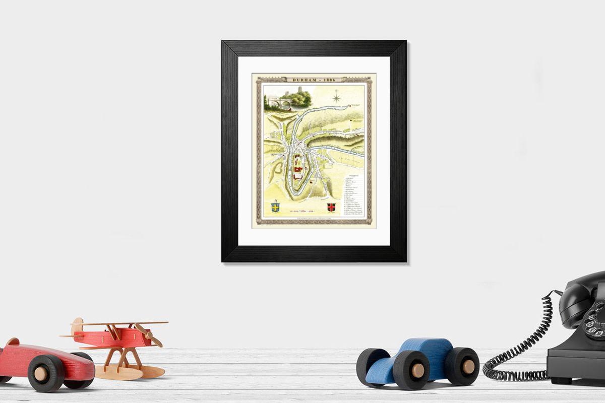
Framed Print of Old Map of Durham 1806 by Cole and Roper
An attractive and detailed early 19th century reproduction town plan of Durham 1805. First published by Cole and Roper as a finely engraved series of county maps and town plans which were initially issued in parts and then together as The British Atlas in 1810. Welcome to the Mapseeker Image library and enter an historic gateway to one of the largest on-line collections of Historic Maps, Nostalgic Views, Vista's and Panorama's from a World gone by. © Mapseeker Publishing Ltd
Artwork supplied by MapSeeker (Artworked from an original Cole and Roper antique town plan in colour by Mapseeker Publishing Ltd)
Your chosen combination is quickly and professionally made to order, our shipping page has more details
If you are not entirely happy with your items, simply return them to us within 30 days for a replacement or full refund. Please read our full returns policy.
Media ID 20348100
Cole And Roper Maps , Old Town Plan Of England
Editors Comments
Step back in time with our Framed Print of the Old Map of Durham 1806 by Cole and Roper from MapSeeker. This intricately detailed reproduction shows an early 19th century town plan of Durham, first published by Cole and Roper as a finely engraved series of county maps. The antique charm of this map is brought to life in our framed print, making it an ideal addition to any home or office. Transport yourself back in history and add a touch of timeless elegance to your space.
This artwork is also available as...
Photo Prints - Step back in time with our reproduction of the Old Map of Durham 1806 by Cole and Roper from MapSeeker. This photographic print shows an early 19th century town plan of Durham, meticulously engraved by Cole and Roper and first published as part of their renowned series of county maps. Delve into the rich history of this iconic English city as you explore the intricate details of this beautifully preserved antique map, perfect for adding character and charm to any room in your home or office.
Greetings Cards - Step back in time with our Old Map of Durham 1806 greeting cards. These beautifully crafted cards feature an intricately detailed reproduction of the early 19th century town plan of Durham, first published by Cole and Roper as part of their renowned series of county maps. Each card shows the Old Map of Durham 1806 by Cole and Roper from MapSeeker, offering a glimpse into the history and architecture of this ancient city. Perfect for history enthusiasts or as a thoughtful and greeting for any occasion.
Photo Mugs - Add a touch of history to your daily routine with our Photo Mugs featuring an reproduction of the Old Map of Durham 1806 by Cole and Roper. This beautifully detailed and intricately engraved map, first published by Cole and Roper as part of their series of county maps, transports you back in time to early 19th century Durham. Each mug holds your favorite beverage while showcasing the rich history of this ancient city. Perfect for history enthusiasts, locals, or anyone who appreciates the beauty of vintage maps. Embrace the past, one sip at a time.
Poster Prints - Step back in time with our Old Map of Durham 1806 by Cole and Roper from the Media Storehouse Poster Prints collection. This reproduction shows an early 19th century town plan of Durham, first published by Cole and Roper as a finely engraved series of county maps. Rich in historical detail, this Old Map of Durham is not just a decorative piece, but a glimpse into the past. Bring the charm of the 1800s into your home or office with this attractive and intricately detailed poster print.
Metal Prints - Step back in time with our Metal Print of the Old Map of Durham 1806 by Cole and Roper from MapSeeker. This reproduction shows an intricately detailed early 19th century town plan of Durham, originally published by Cole and Roper as a finely engraved series of county maps. Each metal print is meticulously crafted, bringing the historical charm of this antique map to life with colors and clarity. Elevate your home or office decor with this attractive piece of history.
Canvas Prints - Step back in time with our Canvas Print of the Old Map of Durham 1806 by Cole and Roper from MapSeeker. This attractive and intricately detailed reproduction shows an early 19th century town plan of Durham, first published by Cole and Roper as a finely engraved series of county maps. Bring history into your home or office with this piece of art. The colors and canvas material bring out the intricacies of the map, making it a conversation starter and a source of pride. Order now and let this piece transport you back in time.
Cushions - Elevate your home with a touch of history. cushions feature reproductions of vintage maps, like this "Old Map of Durham 1806 by Cole and Roper" print. Bring the charm of a bygone era into your living space and add a conversation starter to any room.
Mouse Mats - a touch of history. Mouse Mats bring the past to life, featuring reproductions like this 1806 map of Durham by Cole and Roper. Perfect for anyone who loves nostalgia and wants to add a touch to their desk.
Tote Bags - Elevate your everyday with our tote bags. Pairing designs with eco-friendly materials, they're the perfect blend of style and sustainability. This lovely tote features a gorgeous reproduction of 'Old Map of Durham 1806 by Cole and Roper', bringing a touch of history to your daily adventures.
Modern Frame 14"x12" (36x31cm)
Ready to Hang Contemporary Framed Prints adds style, protection, and a polished touch to your space - effortlessly.
Your artwork will be printed as shown in the preview. To adjust please select Edit Printed Image under the Buy button
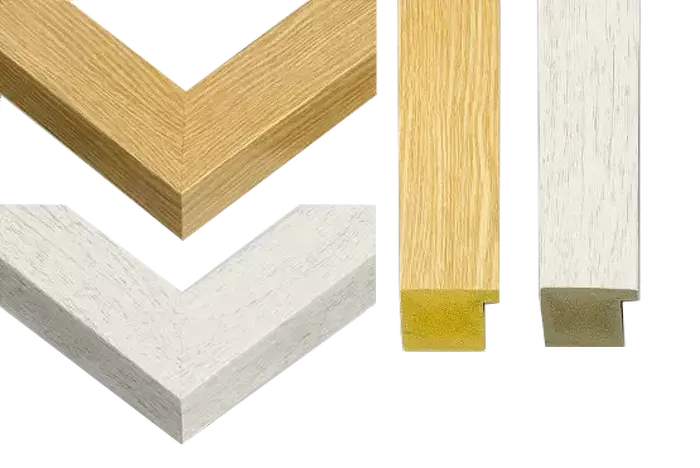
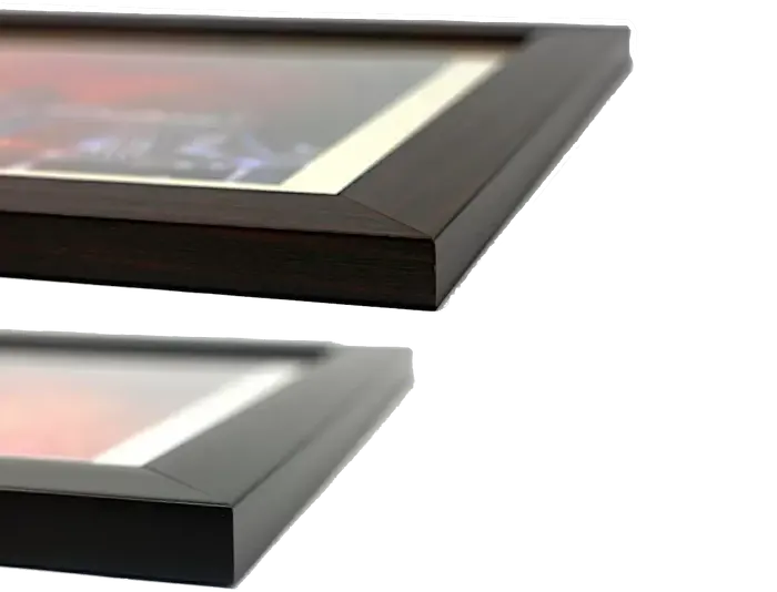
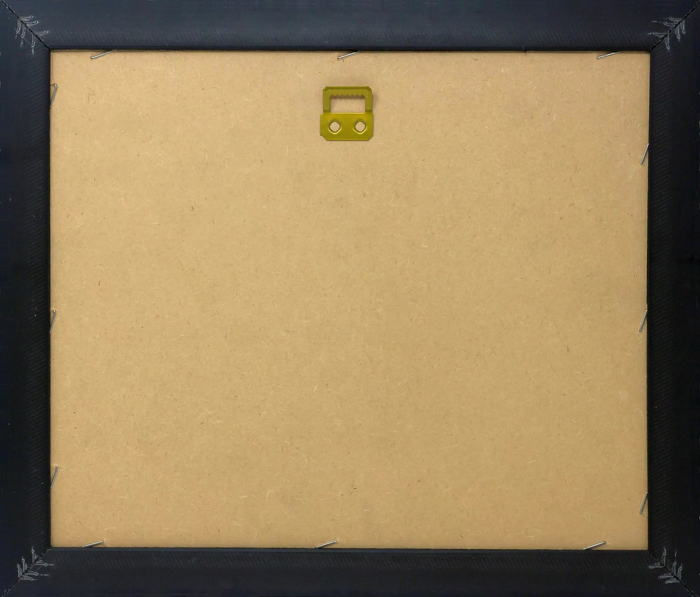
Wood effect frame, card mounted, 10x8 fade resistant photo print. Overall outside dimensions 14x12 inches (36x31cm). Environmentally and ozone friendly, 40mm wide x 15mm Polycore® moulding has the look of real wood, is durable and light and easy to hang. Biodegradable and made with non-chlorinated gases (no toxic fumes) it is efficient; producing 100 tons of polystyrene can save 300 tons of trees! Prints are glazed with lightweight, shatterproof, optical clarity acrylic (providing the same general protection from the environment as glass). The back is stapled hardboard with a sawtooth hanger attached. Note: measurements provided are estimated outer dimensions, which include both the image and the frame. While we aim to keep sizing consistent, exact dimensions may vary slightly due to differences in print size or production requirements, which may result in a variation in the overall size (up to approximately 2.5cm (1"))
These are individually made so all sizes are approximate
Estimated Image Size (if not cropped) is 19.3cm x 24.1cm (7.6" x 9.5")
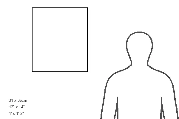
Estimated Product Size is 31cm x 36cm (12.2" x 14.2")
Features In These Collections
> Europe > United Kingdom > England > Durham > Durham
> MapSeeker > British Town and City Plans > English and Welsh PORTFOLIO