

Framed Prints From Heritage Images
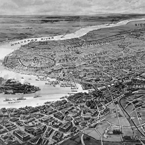
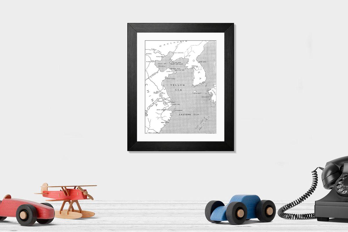
Framed Print of The Chinese Question: map showing positions of chief points of interest, 1898. Creator: Carl Hentschel
The Chinese Question: map showing positions of chief points of interest, 1898. Port Arthur was hastily quitted by the mandarins and Chinese soldiers at the end of last week. It is said that Japan withdrew her opposition to the cession of Port Arthur upon a positive assurance that Russia will not interfere with the government or finances of Korea, in token of which M. Alexieff has been recalled from Seoul, the capital of that kingdom. All the British ships of war at Hong-Kong and Shanghai, or elsewhere in the Chinese seas, are now taking in coals and ammunition, preparing for a movement to the northward; H.M.S. Powerful and other ships are already at Chefoo. It is announced that China will open another free port at Fu-ning-Fu, in the province of Fo-Kien, on the coast north of Fuchow, nearly five hundred miles from Hong-Kong. The German Government is making effective additions to its establishments at Kiao-Chau, with extensive harbour works and docks. From "Illustrated London News", 1898. Heritage Images features heritage image collections. © The Print Collector/Heritage Images
Artwork Licensed From Heritage Images
Your chosen combination is quickly and professionally made to order, our shipping page has more details
If you are not entirely happy with your items, simply return them to us within 30 days for a replacement or full refund. Please read our full returns policy.
Media ID 50107125
Asia Black And White Images , Historical Maps Of China
Editors Comments
Framed Prints featuring 'The Chinese Question: map showing positions of chief points of interest, 1898' by Carl Hentschel from Heritage Images. This historical map print is an addition to any room, perfect for history buffs and art enthusiasts alike. Buy framed prints online today and add a touch of elegance.
This artwork is also available as...
Photo Prints - Acquire Photo Prints of 'The Chinese Question: map showing positions of chief points of interest, 1898' by Carl Hentschel from Heritage Images. This vintage map shows key locations and historical events in China during the late 19th century. Perfect for historians, collectors, and enthusiasts looking to decorate their homes or offices with authentic Photo Prints.
Greetings Cards - Unique Greetings Cards featuring vintage maps like 'The Chinese Question: map showing positions of chief points of interest, 1898' by Carl Hentschel from Heritage Images. Perfect for history buffs and those who appreciate nostalgic designs. Ideal for birthday cards, anniversary gifts or any occasion requiring a thoughtful and educational greeting.
Photo Mugs - Photo Mugs featuring vintage maps like 'The Chinese Question: map showing positions of chief points of interest, 1898' by Carl Hentschel. Perfect for history buffs and travel enthusiasts, these Photo Mugs make thoughtful gifts or personal treasures to display in any room.
Poster Prints - Add a touch of history to your walls with our Poster Prints, featuring 'The Chinese Question: map showing positions of chief points of interest, 1898' by Carl Hentschel from Heritage Images. This vintage map print shows the strategic locations and key events surrounding the Port Arthur incident in late 19th century China. Perfect for art lovers and history enthusiasts alike.
Metal Prints - home decor with Metal Prints featuring vintage maps like 'The Chinese Question: map showing positions of chief points of interest, 1898' by Carl Hentschel. Our Metal Prints are made from durable metal sheets and offer excellent UV resistance, making them perfect for any room in the house.
Canvas Prints - Bring history to life with Canvas Prints of 'The Chinese Question: map showing positions of chief points of interest, 1898' by Carl Hentschel. This vintage map is now available as a Canvas Print, perfect for decorating your home or office with art pieces that showcase historical events and cultural significance.
Cushions - Cushions featuring vintage maps like 'The Chinese Question: map showing positions of chief points of interest, 1898' by Carl Hentschel. Add a touch of history and culture to your furniture with these decorative Cushions perfect for accent chairs, sofas, or ottomans in traditional or modern interior designs.
Mouse Mats - Mouse Mats featuring vintage maps, such as "The Chinese Question: map showing positions of chief points of interest, 1898" by Carl Hentschel from Heritage Images. Perfect for gamers and history enthusiasts alike, these decorative Mouse Mats add a touch of nostalgia to any home or office setup while providing comfort and precision.
Tote Bags - Elevate your daily essentials with our Tote Bags featuring vintage maps, including "The Chinese Question: map showing positions of chief points of interest, 1898" by Carl Hentschel. Perfect for book lovers and history enthusiasts, these eco-friendly bags are ideal for grocery shopping, beach trips or as a stylish accessory to carry your laptop and other items while promoting cultural heritage awareness.
Modern Frame 14"x12" (36x31cm)
Ready to Hang Contemporary Framed Prints adds style, protection, and a polished touch to your space - effortlessly.
Your artwork will be printed as shown in the preview. To adjust please select Edit Printed Image under the Buy button
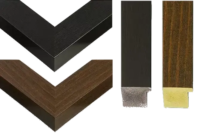
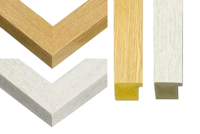
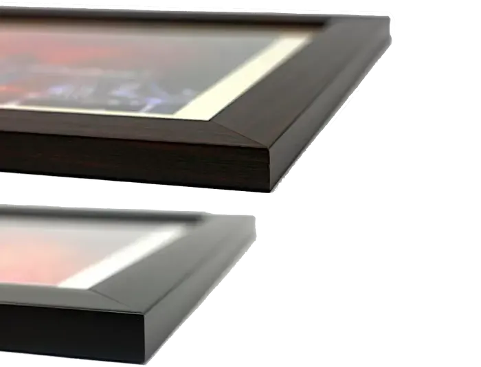
Wood effect frame, card mounted, 10x8 fade resistant photo print. Overall outside dimensions 14x12 inches (36x31cm). Environmentally and ozone friendly, 40mm wide x 15mm Polycore® moulding has the look of real wood, is durable and light and easy to hang. Biodegradable and made with non-chlorinated gases (no toxic fumes) it is efficient; producing 100 tons of polystyrene can save 300 tons of trees! Prints are glazed with lightweight, shatterproof, optical clarity acrylic (providing the same general protection from the environment as glass). The back is stapled hardboard with a sawtooth hanger attached. Note: measurements provided are estimated outer dimensions, which include both the image and the frame. While we aim to keep sizing consistent, exact dimensions may vary slightly due to differences in print size or production requirements, which may result in a variation in the overall size (up to approximately 2.5cm (1"))
These are individually made so all sizes are approximate
Estimated Image Size (if not cropped) is 18.7cm x 24.4cm (7.4" x 9.6")
Estimated Product Size is 31cm x 36cm (12.2" x 14.2")