Print of a vintage colour street map, section #62 from a 1937 London atlas




Framed Prints From Alamy
This artwork is available as
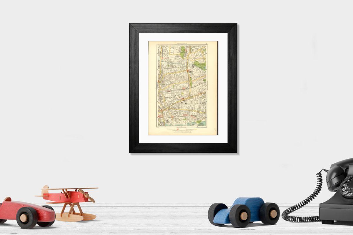
Framed Print of EAST END:Shoreditch, Bethnal Green, Stepney, Hackney, Mile End, Haggerston, 1937 map
EAST END:Shoreditch, Bethnal Green, Stepney, Hackney, Mile End, Haggerston, 1937 map Artist/engraver/cartographer: The Geographia map company. Provenance: The Authentic map directory of London and suburbs, fourth edition, edited by James Bain, FRGS, published by Geographia Ltd. Type: Colour vintage street atlas map. Map section #62 This map is one section from a 1937 Street Atlas of Greater London. This section of the map depicts the following suburbs in 1937: Bethnal Green, Hackney, Haggerston, Mile End, Shadwell, Shoreditch, South Hackney, Spitalfields, Stepney, Whitechapel The maps in this series show London during the rapid interwar suburban expansion. Many areas shown in the outer suburbs as undeveloped land on these maps are now built up. Less frequently, some maps indicate housing developments proposed in 1937 but which were never built on land which is still undeveloped, or which has been built up according to a different street layout from that shown. The inner London maps in this series show London before the damage inflicted by the Blitz during World War 2 and the subsequent redevelopment of the 1950's and 1960's. These maps predate the construction of any motorways (the M1 sections into London having opened between 1966-1977), many major roads, and other post-war urban traffic schemes. The elevated sections of many major roads were constructed after the second world war; for example, the maps predate the construction of the Westway and elevated sections of the A4; the Western Avenue is shown on map sections #142 and #143 as proposed or under construction to the west of Northolt Aerodrome. The London docklands are shown at the height of their scale and glory, a network of large docks and railway lines. The last dock to be built had been completed in 1921. The prosperity of the docklands continued until the advent of containerisation 1960's, whereafter they remained derelict until redevelopment commenced in the early 1980's, centred around the area now known as Canary Wharf These maps show a number of now disappeared features, such as aerodrom. © Antiqua Print Gallery
Artwork Licensed From Alamy
Your chosen combination is quickly and professionally made to order - Shipping & Delivery Details
If you are not entirely happy with your items, simply return them to us within 30 days for a replacement or full refund - 30 Day Returns
Media ID 38763557
Modern 14"x12" (36x31cm)
Ready to Hang Contemporary Framed Prints adds style, protection, and a polished touch to your space - effortlessly.
Your artwork will be printed as shown in the preview. To adjust please select Print Options under the Buy button
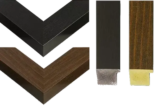
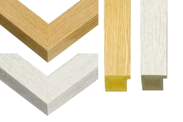
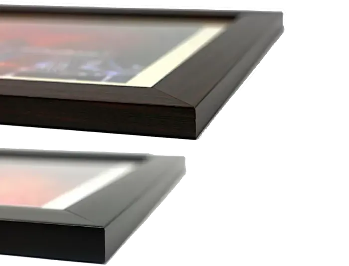
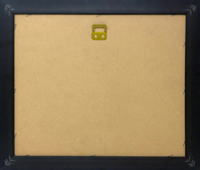
Wood effect frame, card mounted, 10x8 fade resistant photo print. Overall outside dimensions 14x12 inches (36x31cm). Environmentally and ozone friendly, 40mm wide x 15mm Polycore® moulding has the look of real wood, is durable and light and easy to hang. Biodegradable and made with non-chlorinated gases (no toxic fumes) it is efficient; producing 100 tons of polystyrene can save 300 tons of trees! Prints are glazed with lightweight, shatterproof, optical clarity acrylic (providing the same general protection from the environment as glass). The back is stapled hardboard with a sawtooth hanger attached. Note: measurements provided are estimated outer dimensions, which include both the image and the frame. While we aim to keep sizing consistent, exact dimensions may vary slightly due to differences in print size or production requirements, which may result in a variation in the overall size (up to approximately 2.5cm (1"))
These are individually made so all sizes are approximate
Estimated Image Size (if not cropped) is 18.2cm x 24.4cm (7.2" x 9.6")
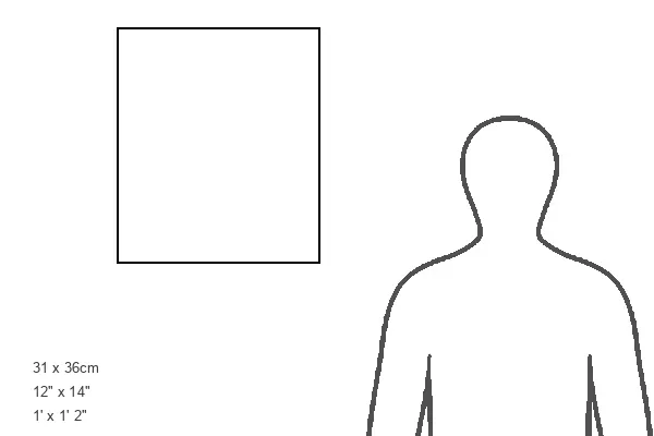
Estimated Product Size is 31cm x 36cm (12.2" x 14.2")