Fraud Blocker Skip to main content

Home > Fine Art Storehouse > Map > Denmark Maps

Denmark Maps Collection

Unraveling Denmark's treasures: Maps that inspire wanderlust

Choose a picture from our Denmark Maps Collection for your Wall Art and Photo Gifts

Denmark is a country located in Northern Europe, bordered by Germany to the south and sharing maritime borders with Sweden and Norway. The map of Denmark showcases a predominantly flat landscape with a scattering of islands, the largest of which are Zealand, Funen, and the Jutland Peninsula. 

91 items

We are proud to offer this selection in partnership with Fine Art Storehouse

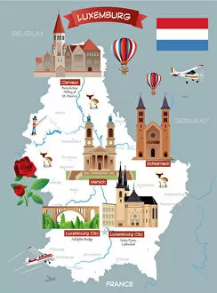
Background imageDenmark Maps Collection: Cartoon map of LUXEMBOURG

Cartoon map of LUXEMBOURG

Background imageDenmark Maps Collection: Europe Map with France, Portugal, Spain and Netherlands

Europe Map with France, Portugal, Spain and Netherlands
Europe Map. Vector Illustration with France, Portugal, Spain and Netherlands

Background imageDenmark Maps Collection: Map of Scandinavia

Map of Scandinavia

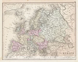
Background imageDenmark Maps Collection: Europe map 1867

Europe map 1867
Mitchellas Modern Atlas - Published by E.H. Butler and Co - Philadelphia 1867

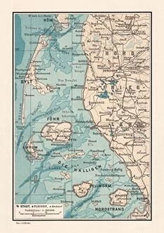
Background imageDenmark Maps Collection: Northern Friesland (Nordfriesland), and islands, Schleswig-Holstein, Germany, lithograph

Northern Friesland (Nordfriesland), and islands, Schleswig-Holstein, Germany, lithograph, published 1887
North Frisian Islands and Northern Friesland (Nordfriesland), the northernmost district of Germany, part of the state of Schleswig-Holstein. Lithograph, published in 1887

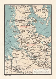
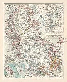
Background imageDenmark Maps Collection: Map of Schleswig-Holstein, northernmost state of Germany, lithograph, published 1887

Map of Schleswig-Holstein, northernmost state of Germany, lithograph, published 1887
Map of Schleswig-Holstein, northernmost state of Germany. Lithograph, published in 1887

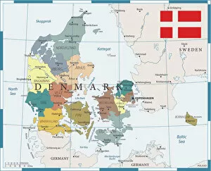
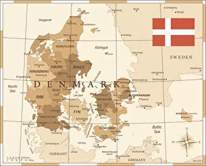
Background imageDenmark Maps Collection: Denmark map

Denmark map
Illustration o f a Denmark map

Background imageDenmark Maps Collection: 27 - Denmark - Color1 10

27 - Denmark - Color1 10
Map of Denmark - Vector illustration

Background imageDenmark Maps Collection: Denmark Sweden Norway map 1867

Denmark Sweden Norway map 1867
Mitchellas Modern Atlas - Published by E.H. Butler and Co - Philadelphia 1867

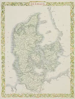
Background imageDenmark Maps Collection: Antique map of Denmark

Antique map of Denmark

Background imageDenmark Maps Collection: Map of Europe 1895

Map of Europe 1895
The Rand-McNally Grammar School Geography 1895 - Chicago & New York

Background imageDenmark Maps Collection: Old chromolithograph map of Copenhagen, Denmark

Old chromolithograph map of Copenhagen, Denmark
Copyright has expired on this artwork. From my own archives, digitally restored

Background imageDenmark Maps Collection: Old chromolithograph map of Copenhagen, capital and most populous city of Denmark

Old chromolithograph map of Copenhagen, capital and most populous city of Denmark
Copyright has expired on this artwork. From my own archives, digitally restored

Background imageDenmark Maps Collection: Map of Sweden, Norway and Denmark

Map of Sweden, Norway and Denmark
Marcus Ward's Home Atlas - London, 1894

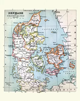
Background imageDenmark Maps Collection: Antique Map of Denmark, 1890s, 19th Century

Antique Map of Denmark, 1890s, 19th Century

Background imageDenmark Maps Collection: Antique Map of Copenhagen, Denmark, 19th Century

Antique Map of Copenhagen, Denmark, 19th Century

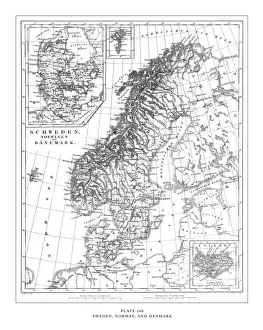
Background imageDenmark Maps Collection: Sweden, Norway and Denmark Engraving Antique Illustration, Published 1851

Sweden, Norway and Denmark Engraving Antique Illustration, Published 1851. Source: Original edition from my own archives. Copyright has expired on this artwork. Digitally restored

Background imageDenmark Maps Collection: Engraved Antique, Sweden, Norway and Denmark Engraving Antique Illustration, Published

Engraved Antique, Sweden, Norway and Denmark Engraving Antique Illustration, Published
Sweden, Norway and Denmark Engraving Antique Illustration, Published 1851. Source: Original edition from my own archives. Copyright has expired on this artwork. Digitally restored

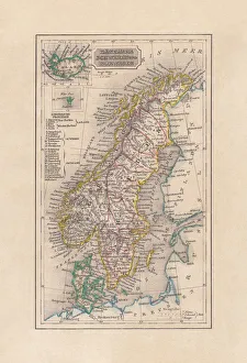
Background imageDenmark Maps Collection: Old map of Scandinavia and Iceland, steel engraving, published 1857

Old map of Scandinavia and Iceland, steel engraving, published 1857
Old map of Denmark, Sweden and Norway. Steel engraving with hand coloured borderlines, published in 1857

Background imageDenmark Maps Collection: Antique map of Denmark and Iceland

Antique map of Denmark and Iceland

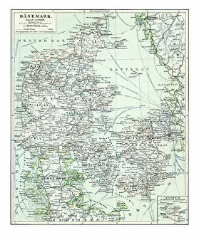
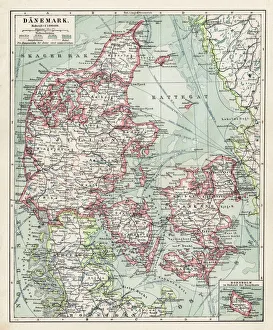
Background imageDenmark Maps Collection: Map of Denmark 1896

Map of Denmark 1896
Andres Allgemeiner Handatlas - Bielefeld und Leipzig 1896

Background imageDenmark Maps Collection: Topographic map of Schleswig-Holstein, German Empire, lithograph, published in 1897

Topographic map of Schleswig-Holstein, German Empire, lithograph, published in 1897
Topographic map of Schleswig-Holstein in the German Reich with the former border to Denmark after the German-Danish War (Second Schleswig War) in 1864, existing until 1920

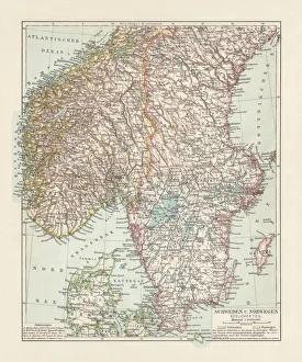
Background imageDenmark Maps Collection: Map of Denmark, Southern Norway and Southern Sweden, lithograph, 1897

Map of Denmark, Southern Norway and Southern Sweden, lithograph, 1897
Topographic map of Denmark, Southern Norway and Southern Sweden. Lithograph, published in 1897

Background imageDenmark Maps Collection: Antique map of Sweden, Norway, Denmark, 1897, late 19th Century

Antique map of Sweden, Norway, Denmark, 1897, late 19th Century
Vintage engraving of a Antique map of Sweden, Norway, Denmark, 1897, late 19th Century

Background imageDenmark Maps Collection: Map of Denmark 1900

Map of Denmark 1900
Meyers hand-Atlas Leipzig und Wien Verlag des Bibliographischen Instituts 1900

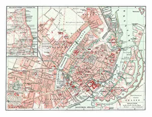
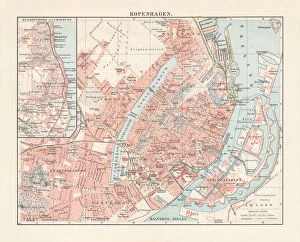
Background imageDenmark Maps Collection: City map of Copenhagen, capital of Denmark, lithograph, published 1897

City map of Copenhagen, capital of Denmark, lithograph, published 1897
City map of Copenhagen, capital city of Denmark. Lithograph, published in 1897

Background imageDenmark Maps Collection: Map of Copenhagen and sourroundings, Denmark, wood engraving, published 1897

Map of Copenhagen and sourroundings, Denmark, wood engraving, published 1897
Map of Copenhagen and sourroundings, Denmark. Wood engraving, published in 1897

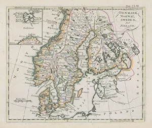
Background imageDenmark Maps Collection: Antique map of Denmark, Norway, Sweden and Finland

Antique map of Denmark, Norway, Sweden and Finland
Wonderful hand coloured antique map, circa 1780 - 1800

Background imageDenmark Maps Collection: Engraving: Copenhagen, Stockholm, Antwerp and Amsterdam

Engraving: Copenhagen, Stockholm, Antwerp and Amsterdam
Engraved illustrations of the cities of Copenhagen, Stockholm, Antwerp and Amsterdam from Iconographic Encyclopedia of Science, Literature and Art, Published in 1851

Background imageDenmark Maps Collection: Engraving: Map of Copenhagen

Engraving: Map of Copenhagen
Engraved illustrations of the Map of Copenhagen from Iconographic Encyclopedia of Science, Literature and Art, Published in 1851. Copyright has expired on this artwork. Digitally restored

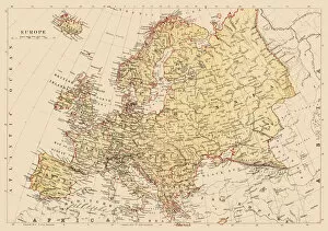
Background imageDenmark Maps Collection: Map of Europe 1897

Map of Europe 1897
Natural Elementary Geography by Redway and Hinman - NY/Cincinnati/Chicago 1897

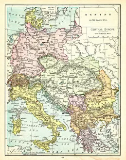
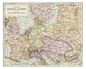
Background imageDenmark Maps Collection: Map of Central Europe 1895

Map of Central Europe 1895
The Rand-McNally Grammar School Geography 1895 - Chicago & New York

Background imageDenmark Maps Collection: Map of Europe 1877

Map of Europe 1877
Warrens Common School Geography 1877

Background imageDenmark Maps Collection: 25 - Denmark - Vintage Golden 10

25 - Denmark - Vintage Golden 10
Map of Denmark - Vintage Vector illustration

Background imageDenmark Maps Collection: Denmark Vector Map

Denmark Vector Map
Highly detailed vector map of Denmark. File was created on July 29, 2011. The colors in the.eps-file are ready for print (CMYK). Included files: EPS (v8) and Hi-Res JPG

Background imageDenmark Maps Collection: Labeled European Map

Labeled European Map
Labeled European map concept showing countries with labels. EPS 10 file. Transparency effects used on highlight elements

Background imageDenmark Maps Collection: Old chromolithograph map of fortification of Copenhagen, Denmark (fortress war)

Old chromolithograph map of fortification of Copenhagen, Denmark (fortress war)
Copyright has expired on this artwork. From my own archives, digitally restored

Background imageDenmark Maps Collection: Antique map of Denmark

Antique map of Denmark
Vintage map from 1864 of a Denmark

Background imageDenmark Maps Collection: Map of Europe 1895

Map of Europe 1895
The Rand-McNally Grammar School Geography 1895 - Chicago & New York

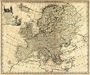
Background imageDenmark Maps Collection: Antique Map of Europe 1744

Antique Map of Europe 1744
An engraved map of Europe with ornamental cartouche and relief shown pictorially by Emanuel Bowen 1744, London, Geographer to His Majesty

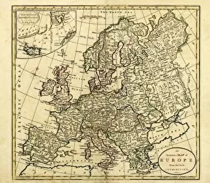
Background imageDenmark Maps Collection: Antique Map of Europe, 1785

Antique Map of Europe, 1785
An accurate map of Europe from the best authorities. London: C. Dilly & G. Robinson: 1785. Original size: 35.7 x 37.4 cm. Coloured, Inset: Spitsbergen, East and West Greenland, and Iceland

Background imageDenmark Maps Collection: Norway and Sweden map 1884

Norway and Sweden map 1884
Encyclopedia Britannica 9th Edition New York Charles Scribners and Sonsl 1884 Vol XVII

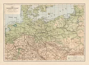
Background imageDenmark Maps Collection: North German lowland map, 19th century view, lithograph, published 1884

North German lowland map, 19th century view, lithograph, published 1884
Old Topographic map of the North German lowland in German language. Lithograph, published in 1884

Background imageDenmark Maps Collection: Flensburg Firth (Flensburger FAorde), Baltic Sea, lithograph, published in 1887

Flensburg Firth (Flensburger FAorde), Baltic Sea, lithograph, published in 1887
Map of Flensburg Firth (Flensburger FAorde), Baltic Sea. Lithograph, published in 1887

Background imageDenmark Maps Collection: Map of Europe 1889

Map of Europe 1889
Indiana Educational Series The Complete Geography - Indianapolis 1889

Background imageDenmark Maps Collection: Map of central Europe 1889

Map of central Europe 1889
Indiana Educational Series The Complete Geography - Indianapolis 1889

Background imageDenmark Maps Collection: Map of Europe 1889

Map of Europe 1889
Indiana Educational Series The Complete Geography - Indianapolis 1889

Background imageDenmark Maps Collection: Map of Europe 1881

Map of Europe 1881
Encyclopedia Britannica 9th Edition Vol XII Philadelphia j.M. Stoddart & Co 1881


All Professionally Made to Order for Quick Shipping


-

Why Choose Us?

We are a leading provider of Art Prints and Photo Gifts since 2003, working in partnership with a range of Sporting Clubs, Charities, Museums and Picture Libraries. A large share of profits from any of their images will go directly towards supporting that charity or club. Our archive of images is carefully curated to bring you a wide range of subjects, including landscapes, wildlife, architecture, and more. We ship from our partner labs in the UK, USA, EU (Netherlands) and Australia.
+

How do I place an order?

Ordering is quick & easy - Just follow 5 Simple Steps:
  1. Find your image: Use our search box or browse our online photo Collections to find the image you want.

  2. Choose your print format: Select your desired product and add it to your cart.

  3. Enter your details: If you're a returning customer, simply enter your email address and password, and we'll fill in your billing and shipping address details. All personal details are held securely and are fully GDPR compliant. As standard, we remove all Personally Identifiable Information after 12 months.

  4. Pay for your purchase: We use state-of-the-art security for online shopping and do not have access to your card details.

  5. Sit back and relax: We'll email you confirmation of your order and when it's dispatched. Registered customers can also track orders in the 'My Account' area.

+

How do I pay for an order?

You can pay for your order with most of the major credit and debit cards, or PayPal. For added security, major financial institutions process payment details separately and securely on our behalf. We do not have access to your online payment card details. Online payments are preferred however we do take phone orders. For UK customers only we accept cheques issued against a UK bank.
+

Is my data safe?

We take data security very seriously. We do not have access to your full card details and all payments are requested over a fully secure connection. Additionally, we fully comply with current European and GDPR legislation, and automatically remove all personal data after at most 12 months (unless you have an account with us and have signed in recently). We also have a strict opt-in policy and would never sell your personal details. Your data is only used to fulfill your order promptly and efficiently.
+

Is wall art ready to hang?

For quick and easy installation all wall art, including framed prints, canvas prints and metal prints are supplied with a ready to hang solution on the back. Generally, saw tooth hangers are applied as they allow wall art to hang flush against the wall. The serrated edge of the hanger prevents the frame from shifting or tilting when hung.
+

Are the photo prints fade resistant?

Yes, we use archival quality photo paper photographic paper for vivid reproduction Prints are an accurate representations of the original artwork, which is preserved for artistic character and authenticity. We guarantee they match previews shown on our web site